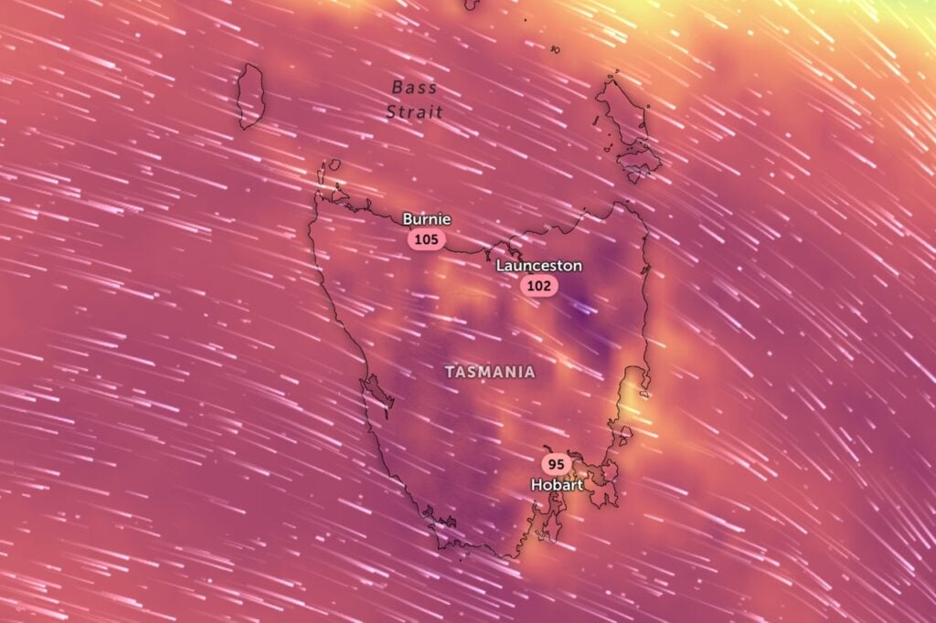
Tasmanians are battening down the hatches ahead of destructive wind gusts exceeding 125km/h forecast to lash the state’s north and west on Friday.
The Bureau of Meteorology has issued a severe weather warning as a powerful cold front sweeps across the state, bringing widespread damaging winds of up to 110km/h.
But authorities are most concerned about isolated destructive gusts above 125km/h expected to hit Devonport, Burnie and the Bass Strait islands early on Friday morning.
Tasmania SES Acting Assistant Director Operations and Resources Chris Irvine said the event was more serious than earlier wind warnings this week.
“The damaging winds that are forecast for Friday are for a longer sustained period and across a more widespread area than we experienced earlier in the week in the state,” he said.
“The potentially destructive winds forecast on the west and the north coasts are a higher level of damaging potential again.”
Residents have been urged to secure loose items, prepare their properties and consider staying indoors as the storm system moves through.
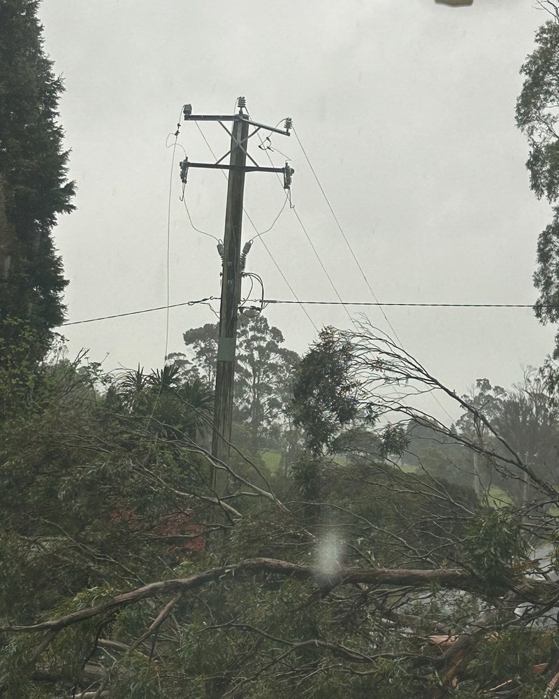
“People should also take all precautions for their own personal safety and that may include reconsidering travel, staying indoors where possible and being aware of the potential for falling trees and branches,” Irvine said.
While winds are expected to ease late Friday, gusty conditions of 60km/h to 80km/h will persist into Saturday.
Compounding the risk, heavy rainfall is forecast to trigger minor flooding across multiple river systems, including the Derwent, Huon, Meander and North Esk catchments.
A flood watch is current for the west, north, south and parts of the north-east, with the potential for isolated moderate flooding in areas receiving higher rainfall totals.
The SES has crews on standby, with residents urged to call 132 500 for assistance or Triple Zero (000) in life-threatening emergencies.