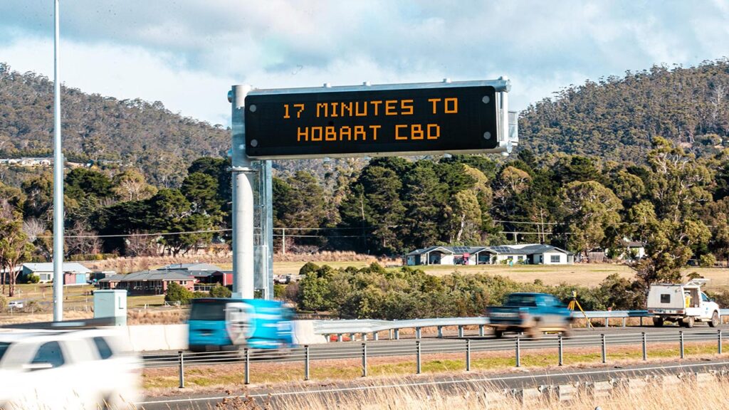
Brand new ‘variable message screens’ are being rolled out across Hobart, as part of a new initiative by State Growth to keep Tassie commuters informed.
The sign installed near the Hobart Airport Interchange this week is the first of 13 overhead signs to be installed on the major commuter routes around Hobart that will display up-to-date travel time information, advance warning of delay-causing incidents and guidance on alternative routes.
Testing of the signs is already underway,
“The information will go live once testing is successfully completed, which is expected to take about a month,” a State Growth spokesperson told Pulse.
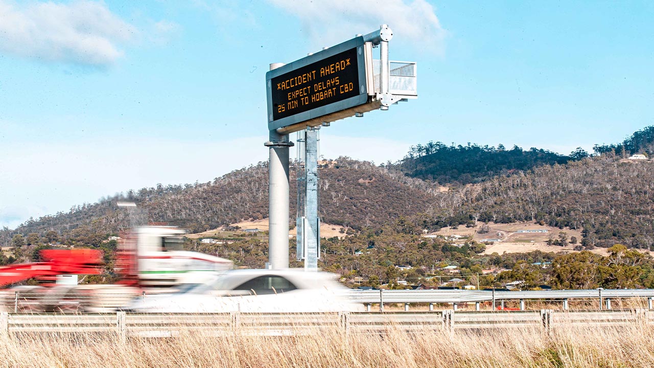
“[This sign has] been installed as part of the Hobart Airport Interchange contract but will integrate with the Department of State Growth’s On-road Traveller Information System (OTIS)”.
SEE THE FULL LIST OF BILLBOARD LOCATIONS:
| Road | Location | Municipality |
| Huon Highway | Northbound, west of Southern Outlet |
Kingborough Council
|
| Beach Road | Northbound, south of Southern Outlet |
Kingborough Council
|
| Southern Outlet | Northbound, south of Olinda Grove | City of Hobart |
| Davey Street | Southbound, east of Evans Street | City of Hobart |
| Brooker Avenue | Northbound, Newport Street | City of Hobart |
| Brooker Highway | Southbound, north of Domain Highway | City of Hobart |
| Brooker Highway | Southbound, north of Gordons Hill Road |
City of Glenorchy
|
| East Derwent Highway | Southbound, north of Gordons Hill Road | City of Clarence |
| Tasman Highway | Eastbound, east of Gordons Hill Road | City of Clarence |
| Tasman Highway | Westbound, east of Dampier Street | City of Clarence |
| Tasman Highway | Westbound, east of the Mornington interchange | City of Clarence |
| South Arm Highway | Westbound, east of Shoreline Drive | City of Clarence |