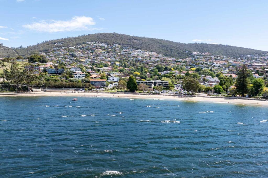
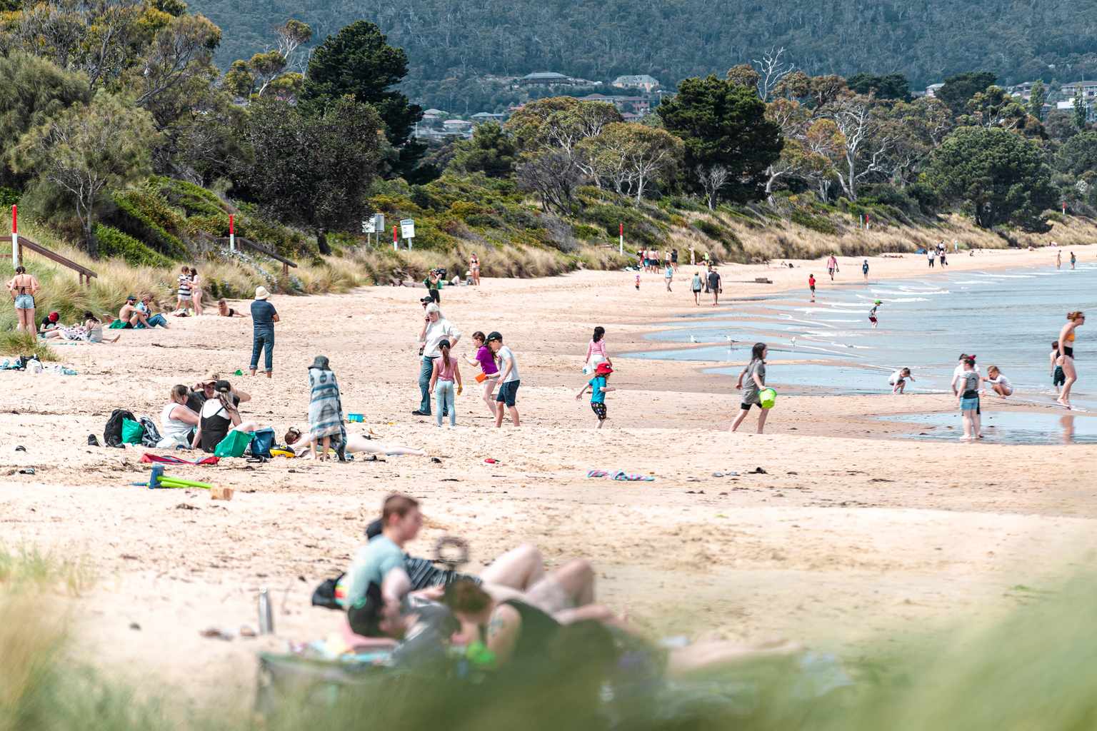
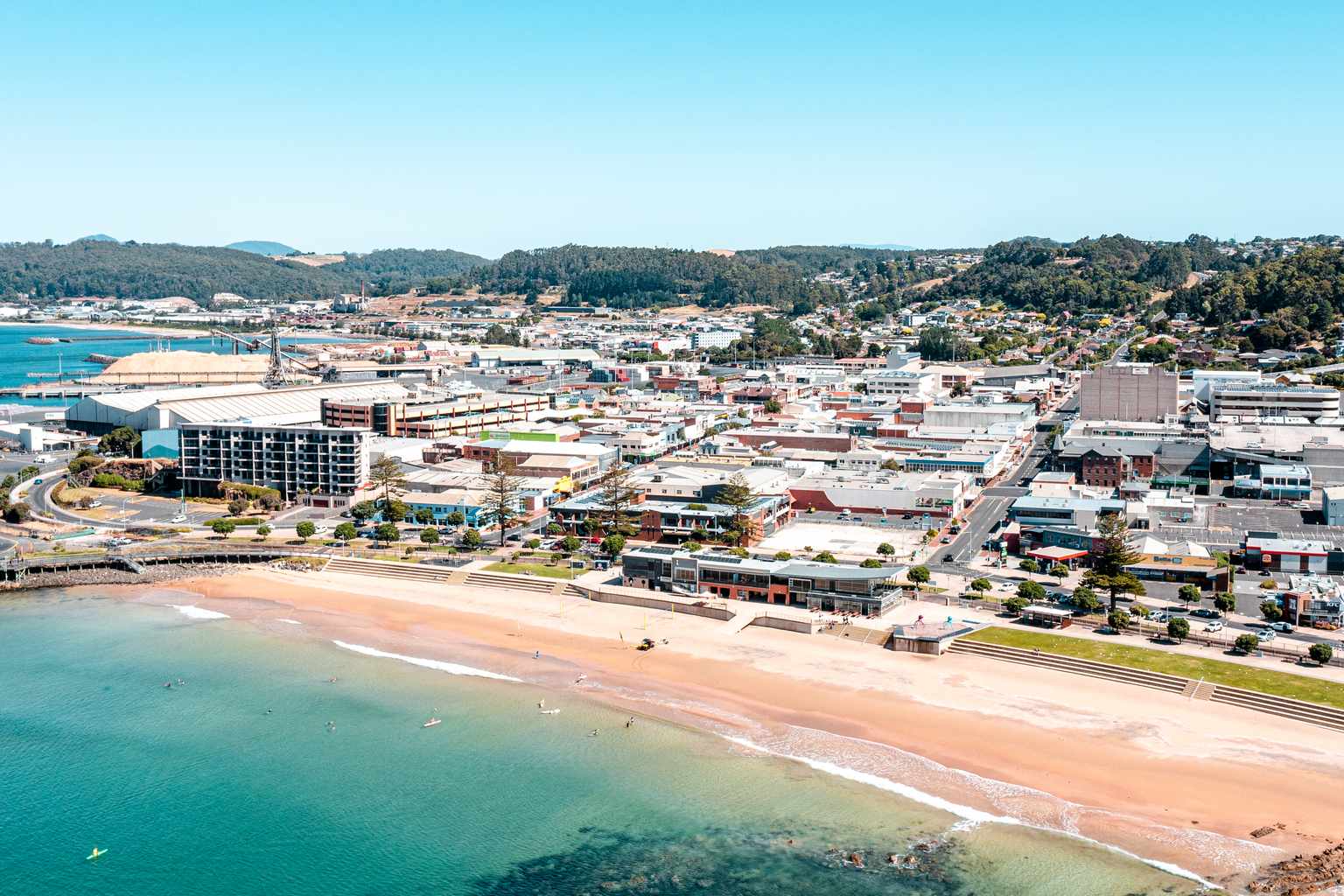
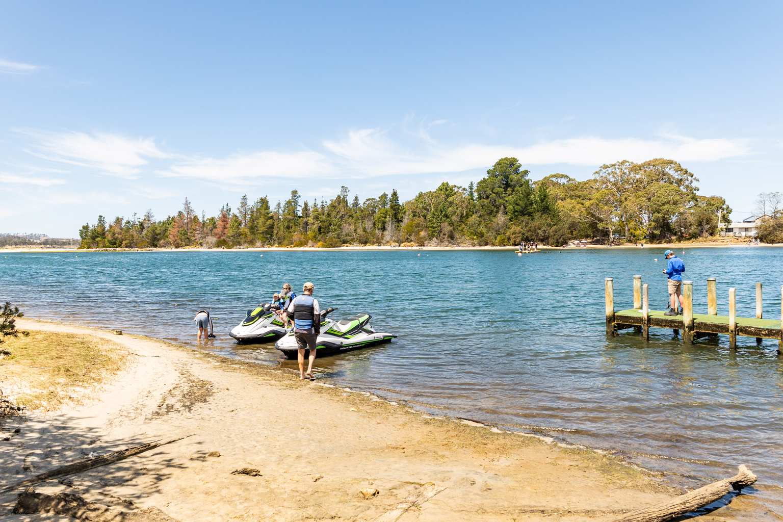
Tasmanians are expected to flock to beaches today as temperatures soar to 34 degrees in Hobart.
The Bureau of Meteorology has issued a high fire danger rating for the capital, with mostly sunny skies forecast across the state.
Winds will blow from the north to northeast at 15 to 25km/h before shifting south to southwesterly this evening.
Launceston will also swelter through a hot day, with a maximum of 29 degrees expected after possible morning fog clears.
A high fire danger rating is in place for the northern city, where north to northwesterly winds will pick up to 30km/h by midday.
Burnie will escape the worst of the heat, with a top of just 22 degrees under partly cloudy skies.
Easterly winds of 25 to 35km/h will keep conditions more comfortable on the north-west coast.
UV levels will hit extreme across all three cities, with a maximum index of 11.
The bureau recommends sun protection between 9:10am and 5:30pm in Hobart and Launceston and from 9:20am in Burnie.
Rain is unlikely statewide, with at least a 90% chance of dry conditions across all locations.
The bureau said temperatures would ease tomorrow, with Hobart dropping to a more comfortable 25 degrees.
Launceston will buck the trend with another hot day of 32 degrees tomorrow before cooling later in the week.
Burnie will see a slight rise to 25 degrees on Wednesday.
Showers are expected to move in over the weekend, bringing relief after the hot start to the week.
Sunday is forecast to bring rain across all three cities.