Parts of southern Tasmania could be flooded by seawater on Monday as abnormally high tides return to the state’s coast.
The Bureau of Meteorology has warned Monday evening’s high tide is “expected to be about as high” as the one on June 24, 2025.
It has warned that “similar inundation impacts are possible”.
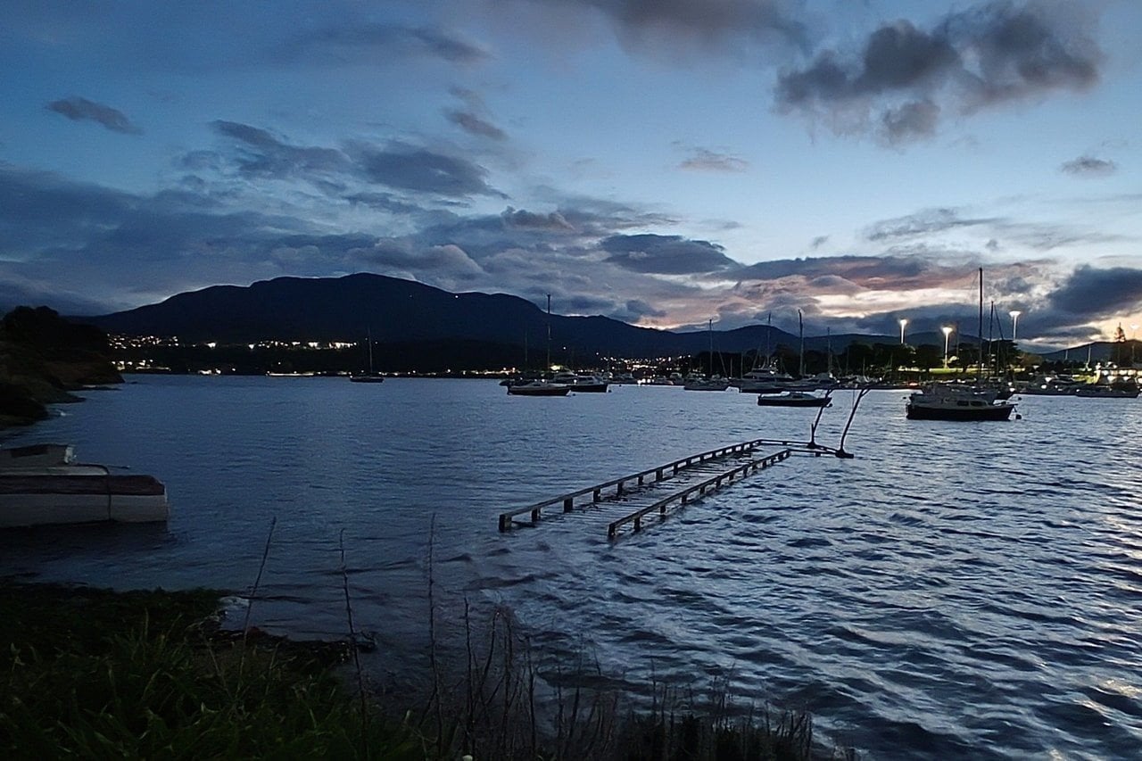
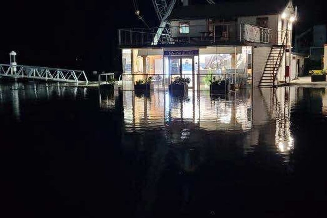
That event submerged South Arm Road at Lauderdale, put a jetty on Hobart’s eastern shore underwater and flooded waterfront car parks at Sandy Bay and Margate.
The Esplanade at Huonville was also closed.
The bureau says tides are likely to rise well above the normal high tide mark during the Sunday and Monday evening high tides.
Low-lying coastal areas between Southport and Maria Island are most at risk.
Hobart, Bruny Island, Huonville, Dover and Port Arthur are among the areas that may be affected.
The warning comes as cold and blustery weather sweeps across Tasmania, with strong westerly winds and showers lashing much of the state.
In Hobart, the temperature sat at just under 10 degrees at 1:50pm, but felt more like three degrees with the wind chill.
The bureau has also issued a severe weather warning for damaging winds across King Island, the Furneaux Islands and parts of the west and north-west.
Winds averaging 60 to 70km/h, with gusts above 110km/h, are forecast to develop across the south-west on Monday morning.
The bureau says the winds should ease from the south-west on Monday evening, clearing the Furneaux Islands by late Monday night.