Tasmanians in the state’s south are being urged to secure loose items and prepare for damaging winds set to sweep through elevated areas from late tonight.
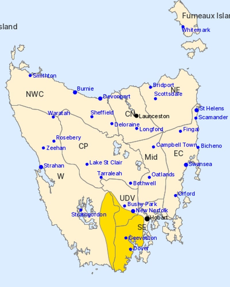
The Bureau of Meteorology has issued a severe weather warning for parts of the Western, Upper Derwent Valley and South East districts.
“Damaging westerly winds averaging 55 to 65km/h with peak gusts of around 110km/h are possible for elevated peaks and lee slopes in the southern parts of the state,” the bureau said.
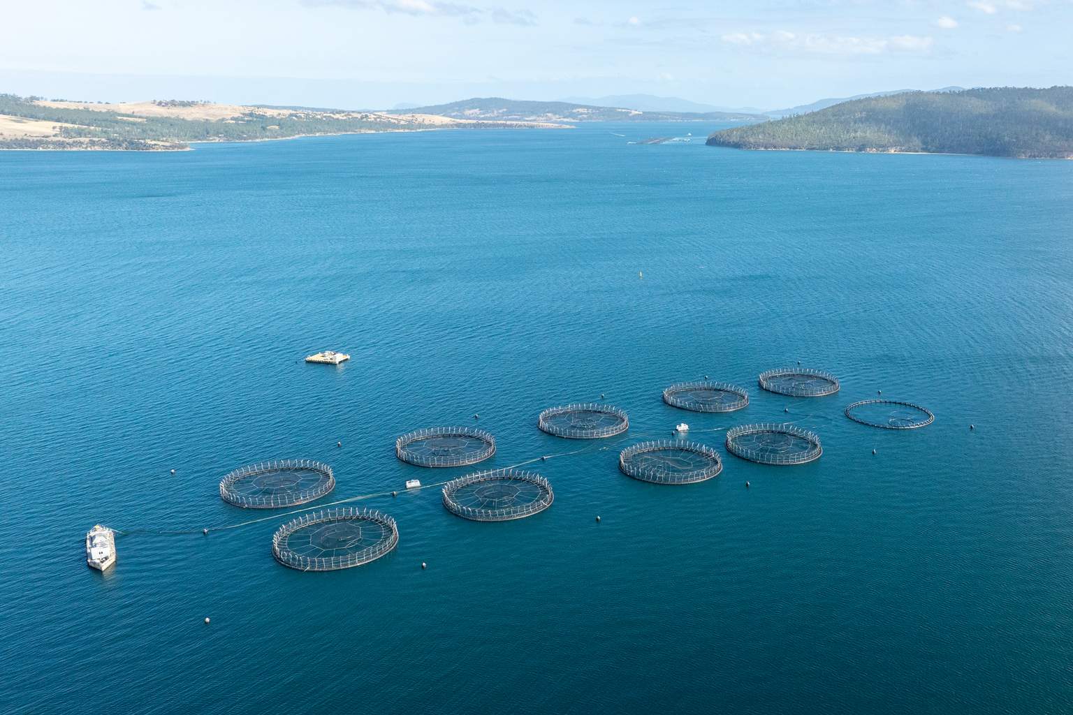
Towns including Geeveston, Dover and Huonville are expected to be affected.
According to the bureau, a burst of westerlies over southern Tasmania will interact with the terrain, driving damaging winds across peaks and lee slopes late tonight and into the early hours of Wednesday morning.
Winds are expected to ease by late Wednesday morning.
The warning follows a weekend of wet and windy weather across the state.
A weak cold front crossed Tasmania this morning, before a high-pressure system moved over Victoria, maintaining a westerly flow over the state.
Showers are forecast to retreat to the west this afternoon, with north-westerly winds turning fresh and gusty through the day.
Conditions should ease on Wednesday, with showers remaining in the west and fine weather elsewhere.
Another cold front is expected to move across Tasmania on Friday, bringing widespread showers and possible thunderstorms along the West Coast.
Snow flurries are likely down to around 700 metres in western and southern areas on Friday.