Hobart has enjoyed its warmest day in months, with parts of the city reaching 28.6 degrees.
The temperature, recorded at Hobart Airport at 1:43pm, is likely the capital’s hottest reading since the end of summer.
Bureau of Meteorology forecaster Angus Hines said the warmth was typical of the weather pattern affecting south-eastern Australia, including Victoria and South Australia.
“For many of these areas, it’s the warmest weather since about March, since the end of the last warm season,” he said.
The heat was concentrated in the south-east, with Campania reaching 28.1 degrees and Hobart’s Ellerslie Road station peaking at 27.6.
Dunalley matched the airport’s reading of 28.6°C.
While the south basked in late-spring warmth, it was a different story further north.
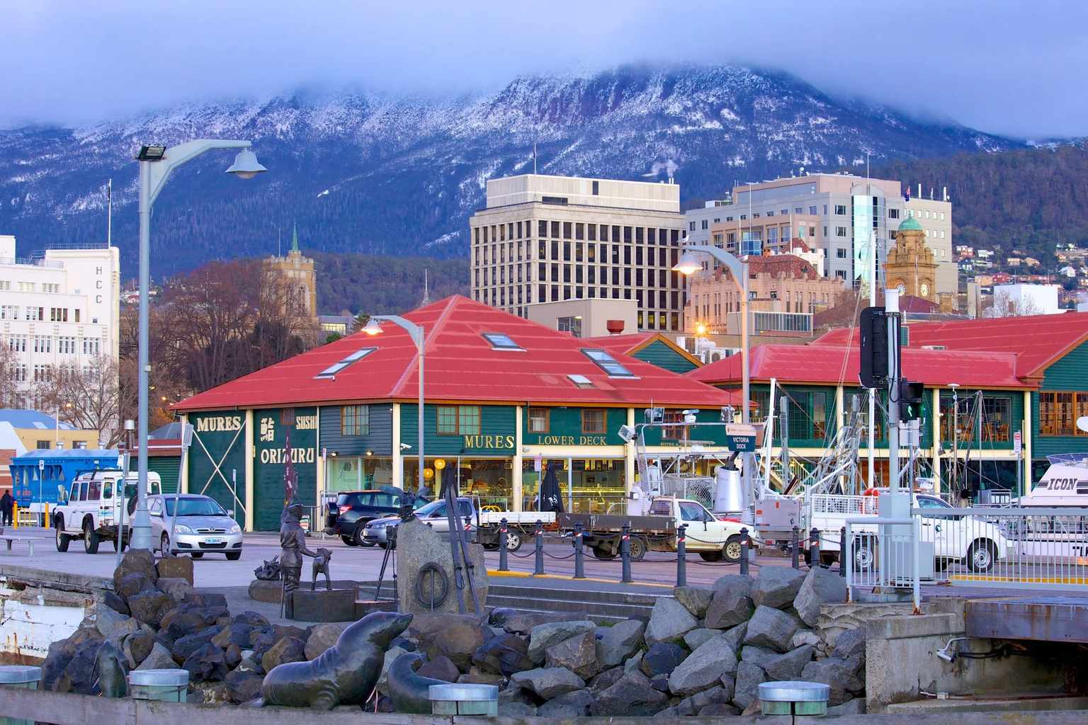
Devonport Airport reached only 15.1 degrees and the summit of Mount Wellington recorded 16.2 degrees.
A cold front is expected to sweep across Tasmania late today, bringing a cool change and more unsettled conditions.
Friday’s forecast includes showers statewide, with snow possible down to 600 metres in the west and south during the afternoon.
Small hail and thunderstorms are also likely in the west.
The bureau says a high-pressure ridge will bring a brief spell of settled weather on Saturday, before another front moves in on Sunday.