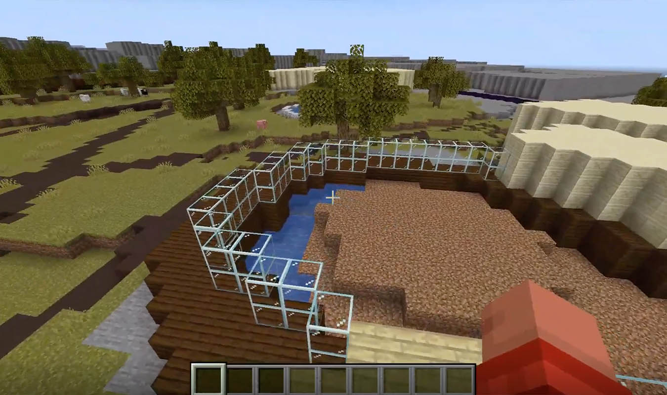
The Launceston City Council has turned some of the city’s iconic landmarks into three new Minecraft maps.
Mayor Matthew Garwood said the interactive maps, which include Riverbend Park, City Park and the Cataract Gorge First Basin, are hoped to transform how residents and students engage with the city’s spaces.
The initiative follows the release of a previous Minecraft map of Launceston in 2021, made as an educational tool, that was based off of a 2016 LiDAR scan.
But the earlier version, primarily a grayscale representation, lacked the vibrancy of the actual city – something Garwood says has been fixed this time around.
“The Council typically uses LiDAR scans as part of its work in assessing planning applications across the city, but alongside this serious work there can also be some more fun applications elements,” he said.
“We used some newer technology in our 2022 survey, which meant it was a simple process to create some new Minecraft maps based on the most recent data.”

“The big yellow Sky Walk in Riverbend Park is a big yellow Sky Walk in the newest Minecraft map, the green grass in City Park is green in the Minecraft map, and the stone barbecue shelters at the First Basin are stone coloured in the game.”
The maps were field-tested by around 800 students during National Science Week at the Queen Victoria Museum and Art Gallery who were all ‘enthusiastically engaged’, Smart Cities Project Officer Cameron Smith said.
“These maps are a good example of how Launceston’s data can be visualised in different and exciting ways.”
“Children are often difficult to engage when it comes to local government, but they respond well to games and visualisation tools that allow them to consider their world from a new perspective.”
“We know there are children who are using these maps at the moment and others who will download them as a result of hearing about them.”
The new Minecraft maps, along with instructions for installation, can be downloaded here.