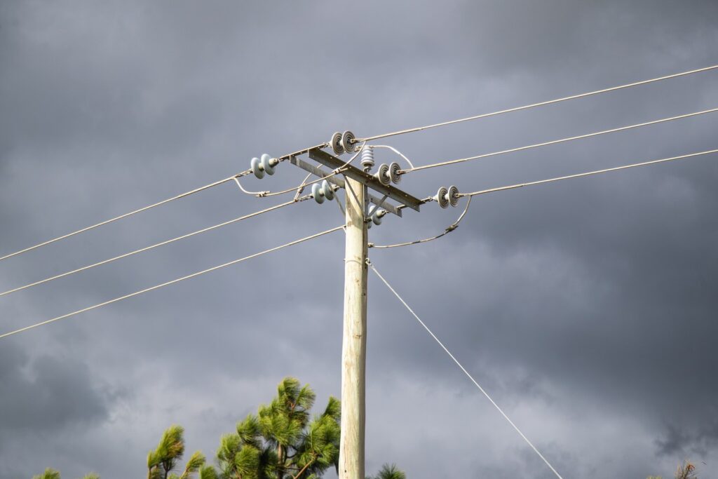
Tasmanians are being urged to secure loose items and prepare for power outages, with damaging winds expected to hit parts of the state from late tonight.
The Bureau of Meteorology has issued a severe weather warning for the west, south, east coast, north-west, Central Plateau and Midlands.
“Damaging winds averaging 55 to 65km/h with peak gusts around 100km/h are likely about the Western Tiers and southern Tasmania from late tonight,” the bureau said.
The warning comes as a cold front sweeps across the south, bringing strong west to south-westerly winds that will hang around through Wednesday.
Elevated areas and exposed southern coastal locations could cop the worst of it, with wind speeds potentially reaching 65 to 75km/h and gusts up to 120km/h.
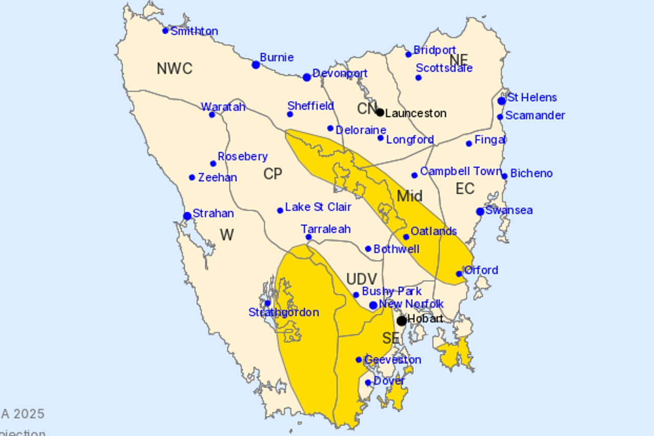
The bureau has flagged Oatlands, Orford, Geeveston and Huonville as locations that may be affected.
Conditions should ease below warning levels by mid-afternoon Wednesday.
The cold front is part of an active weather pattern, with another system forecast to move across the state Thursday morning and a third approaching Friday.
Wednesday’s front will also bring showers and snow down to 600 metres in the south, meaning Mount Wellington is likely to get another spring dusting.