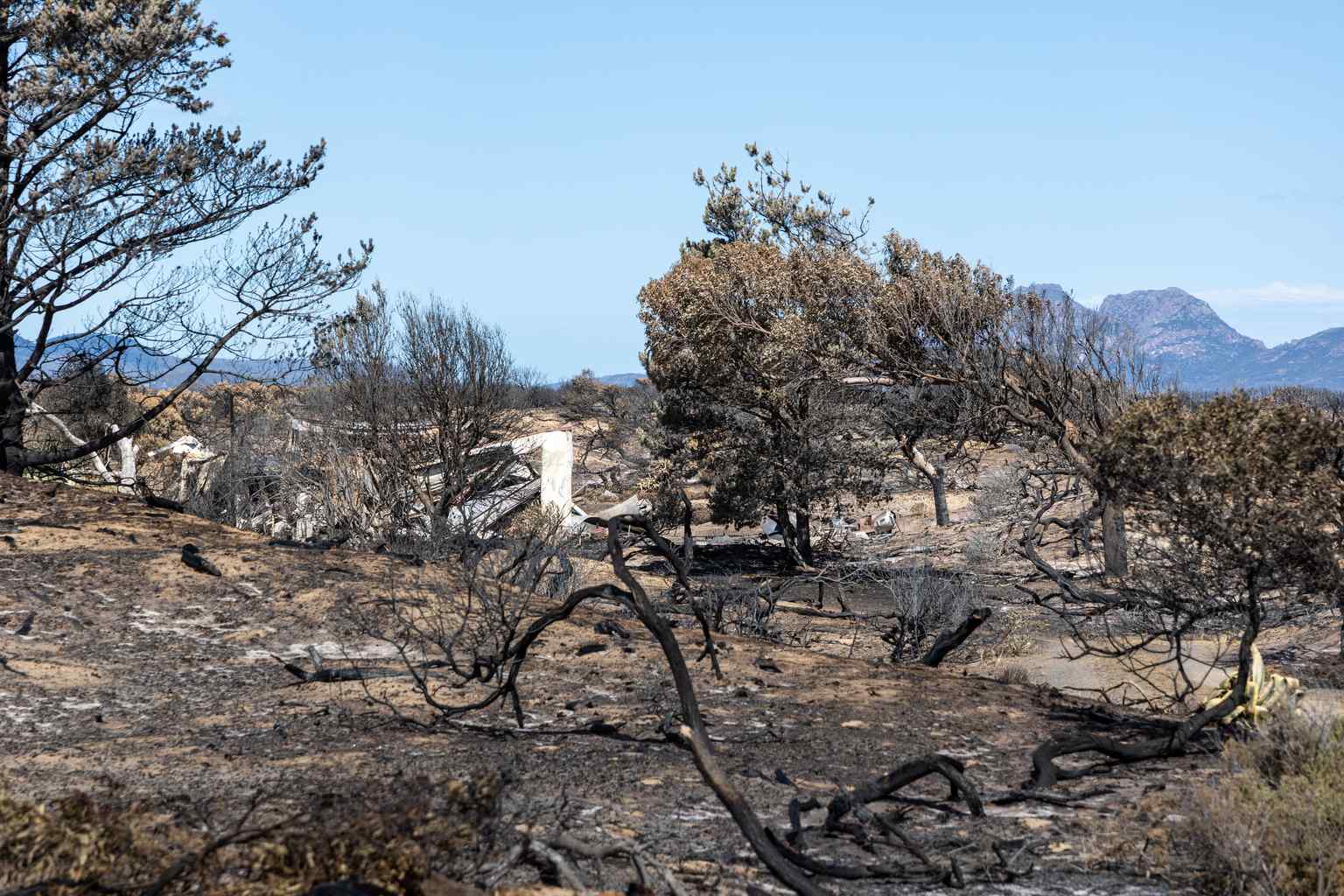
Bush walkers have been warned to avoid Tasmania’s highlands on Thursday, with a late-spring cold snap expected to dump snow down to 500 metres.
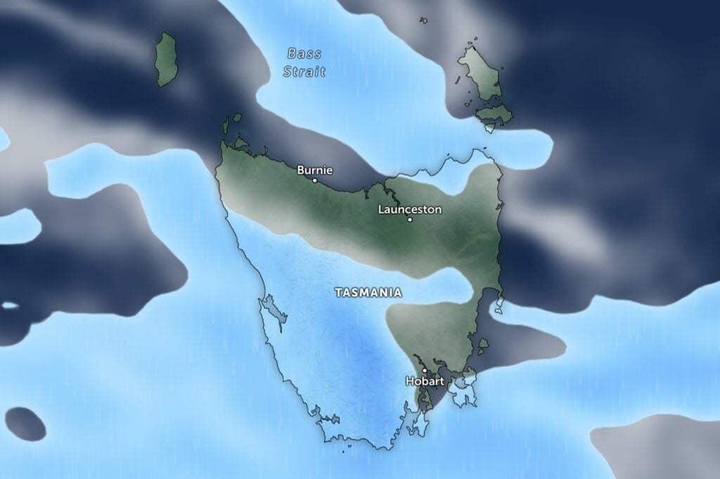
The Bureau of Meteorology has issued a hazardous conditions alert for the Western and Central Plateau districts, with snowfall forecast from early Thursday morning through to later in the day.
The warning affects popular walking areas including Cradle Mountain-Lake St Clair, the Walls of Jerusalem, Ben Lomond and Mount Field’s upper areas.
A cold front moving across the state today is drawing frigid air behind it, with temperatures plummeting behind the system.
“Showers about the west, south and Bass Strait Islands, contracting to the west during the day,” the bureau said in its forecast.
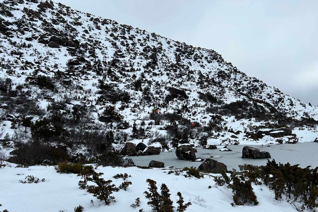
“Showers falling as snow to around 500 metres during the morning. Possible small hail in the south.”
Showers are expected to extend statewide today, with snow developing to around 1,000 metres as the front moves through.
North-westerly winds will swing westerly during the day, becoming fresh and gusty about the north and west coasts.
The front will then give way to a prevailing westerly flow through Friday and into the weekend, with another weak cold front set to approach late Friday.