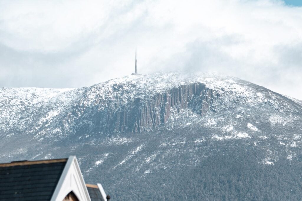
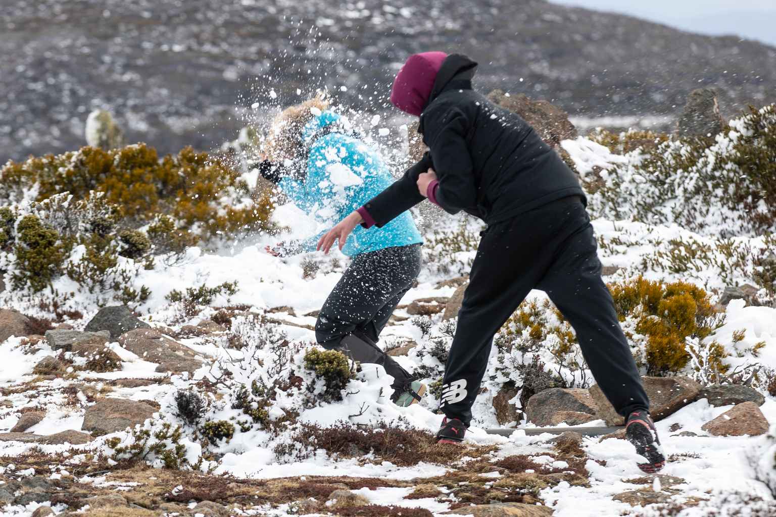
Snowflakes could dust Hobart’s “uppermost streets” tomorrow, forecasters say, as a spring cold front sweeps across Tasmania bringing Antarctic conditions.
The Bureau of Meteorology has issued a bushwalkers’ alert, warning that snow is expected to fall as low as 400 metres on Tuesday morning.
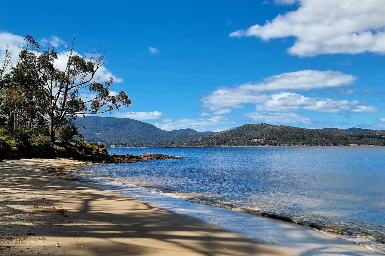
That puts the snowline well down Mount Wellington and right to the doorstep of Hobart’s highest suburbs, including Fern Tree and Mount Nelson.
That is according to Weatherzone forecasters, who are warning of a “miserable” Tuesday for the city.
“While the official maximum could reach 14 degrees, strong southwesterly winds and persistent showers will ensure a ‘feels like’ temperature close to five degrees for most of the day,” Weatherzone said.
The chilly outbreak is part of an unusual weather pattern that’s seen repeated polar blasts push north in recent weeks – far later in spring than normal.
Melbourne shivered through its coldest November day in 80 years last Saturday, reaching just 12.7 degrees, while ski resorts in Victoria and New South Wales picked up snow twice in one week.
Weatherzone says two main factors are driving the icy spell.
The first is a negative phase of the Southern Annular Mode, which pushes Southern Ocean cold fronts further north than usual.
It’s been linked to a sudden stratospheric warming event over Antarctica in September.
The second factor involves “nodes of cold air” in the atmospheric circulation – pockets that have lined up perfectly to deliver repeated blasts over south-eastern Australia.
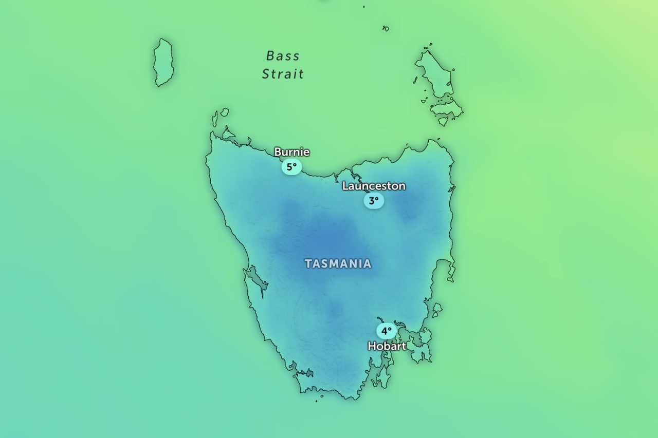
The bureau’s alert covers the Western and Central Plateau districts, with snow initially expected to 700 metres on Monday evening before lowering further overnight.
Showers are forecast across the state on Tuesday, along with a few thunderstorms in the east and a touch of frost early in the morning.