Tasmania is set for what could be its most significant snowfall in years, with snow forecast to fall as low as 400 metres across much of the island this weekend.
The Bureau of Meteorology has issued bushwalker and road weather alerts on Friday afternoon, warning of hazardous conditions across the state.
Snow is expected to fall to 700 metres on Friday evening, dropping to 500 metres later in the night.
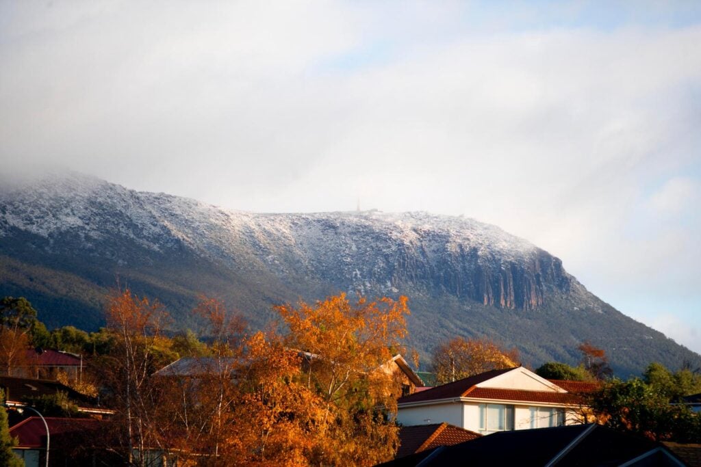
By Saturday morning, the snowline is forecast to plunge to 400 metres – low enough to dust Hobart’s higher western suburbs on the slopes of Mount Wellington.

The City of Hobart says Pinnacle Road will be shut at the Wellington Park entrance if snow reaches the predicted level, with crews on standby to assess conditions.
“Our aim is always to open the road as soon as it is safe to do so after a big snowfall, with our snow clearing team ready to spring into action,” the council said.
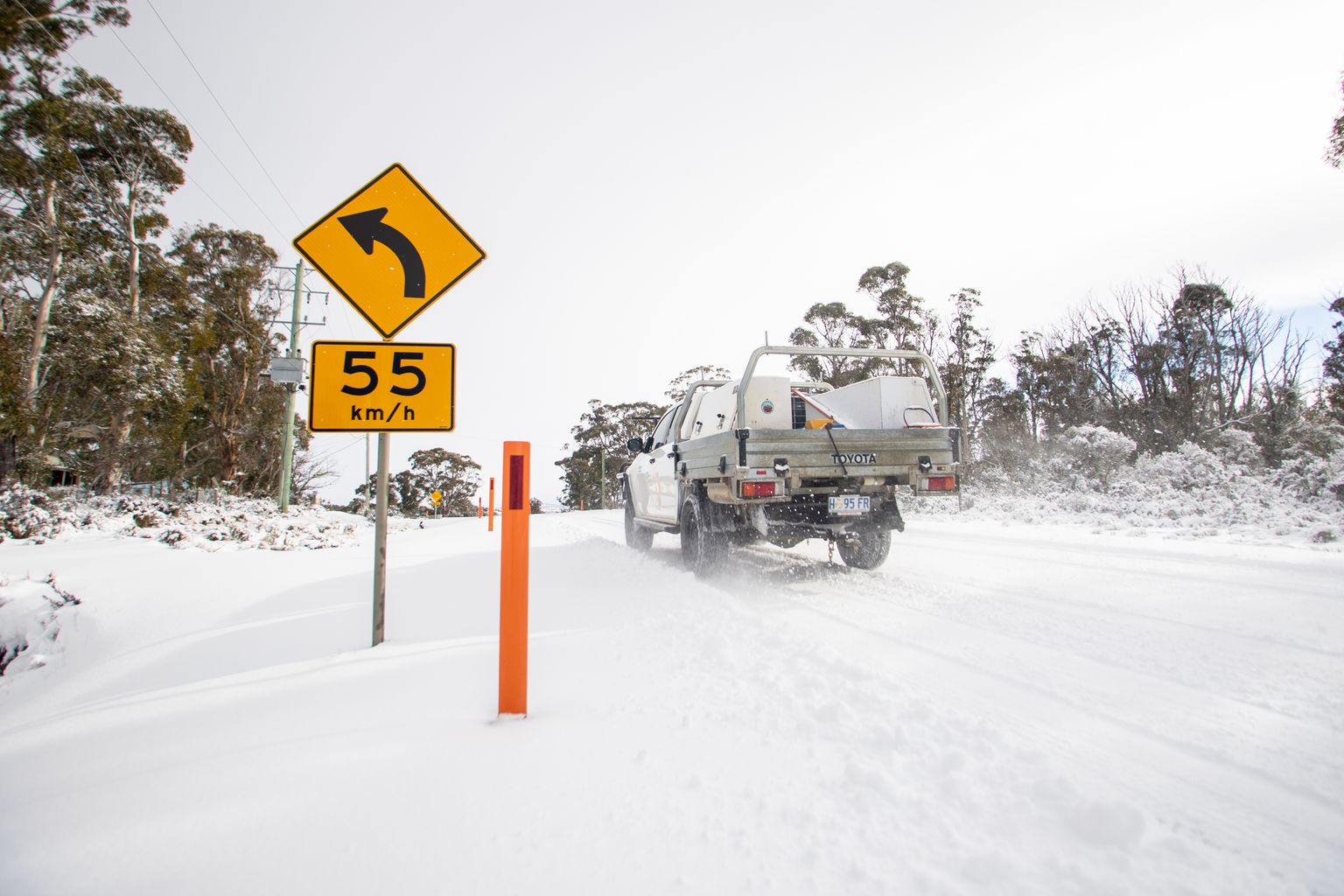
“If the forecasts are right and we get snow at 400 metres, Pinnacle Road will be closed at the Wellington Park entrance.”
The bureau has also warned of icy, snow-covered roads and dangerous driving conditions from Friday evening through to Saturday morning across most populated areas.
King Island faces possible damaging wind gusts on Friday night, while the Great Western Tiers could see similar conditions early Saturday.
Small hail is also possible in the west.
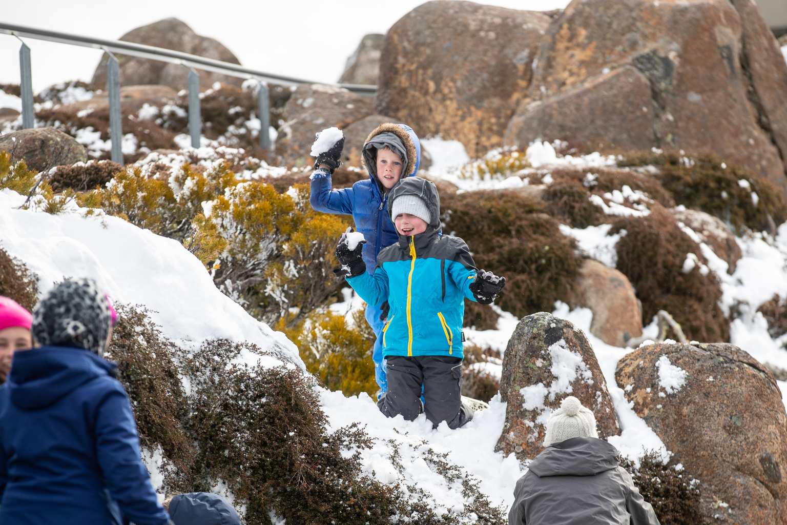
Snow levels should lift above 1,000 metres by Saturday afternoon as conditions begin to ease, the bureau says.
By Sunday, showers will be mostly confined to western districts and the Bass Strait Islands.

