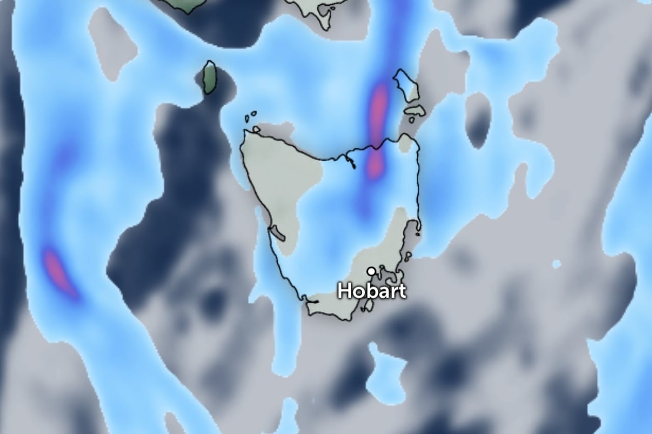
Snow could fall as low as 600 metres in Tasmania next week as three cold fronts sweep across the state.
The first front will cross late on Saturday, bringing rain, gusty winds and much colder conditions behind it.
Bureau of Meteorology meteorologist Dean Narramore said the high pressure system that brought a week of cold, frosty mornings has moved into the Tasman Sea, opening the door for the front.
He said it would bring “a band of rain, maybe a rumble of thunder or two, widespread strong and gusty winds and much colder conditions as well behind it”.
Narramore said Tasmania would start Saturday dry, with temperatures in the low to mid teens, before showers picked up across the north and west.
A band of rain will move across much of the state overnight, though eastern areas should stay dry until the early hours of Sunday.
“Good news for snow lovers,” Narramore said, with snow expected to develop in the alpine areas of Tasmania, Victoria and New South Wales on Saturday night.
The bureau has issued a road weather alert for parts of the Central Plateau and Upper Derwent Valley, warning icy roads will make driving conditions dangerous on Saturday morning.
Hobart can expect 14 degrees and a few showers on Saturday, then 11 degrees on Sunday with showers, possible hail and thunder and snow in the mountains.
Showers will spread statewide on Sunday, falling as snow above 900 metres, with thunderstorms and hail possible in the west.
A second front is expected to cross on Monday in a strong westerly flow, dropping the snow level to around 600 metres by the evening.
Thunderstorms are possible about the southern coast.
Snow to around 600 metres is forecast again on Tuesday, with hail possible in the west and far south.
A third front is then expected on Wednesday.