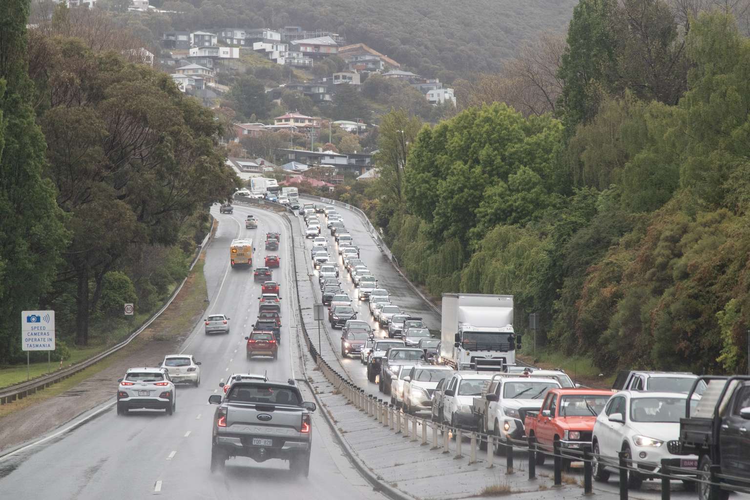
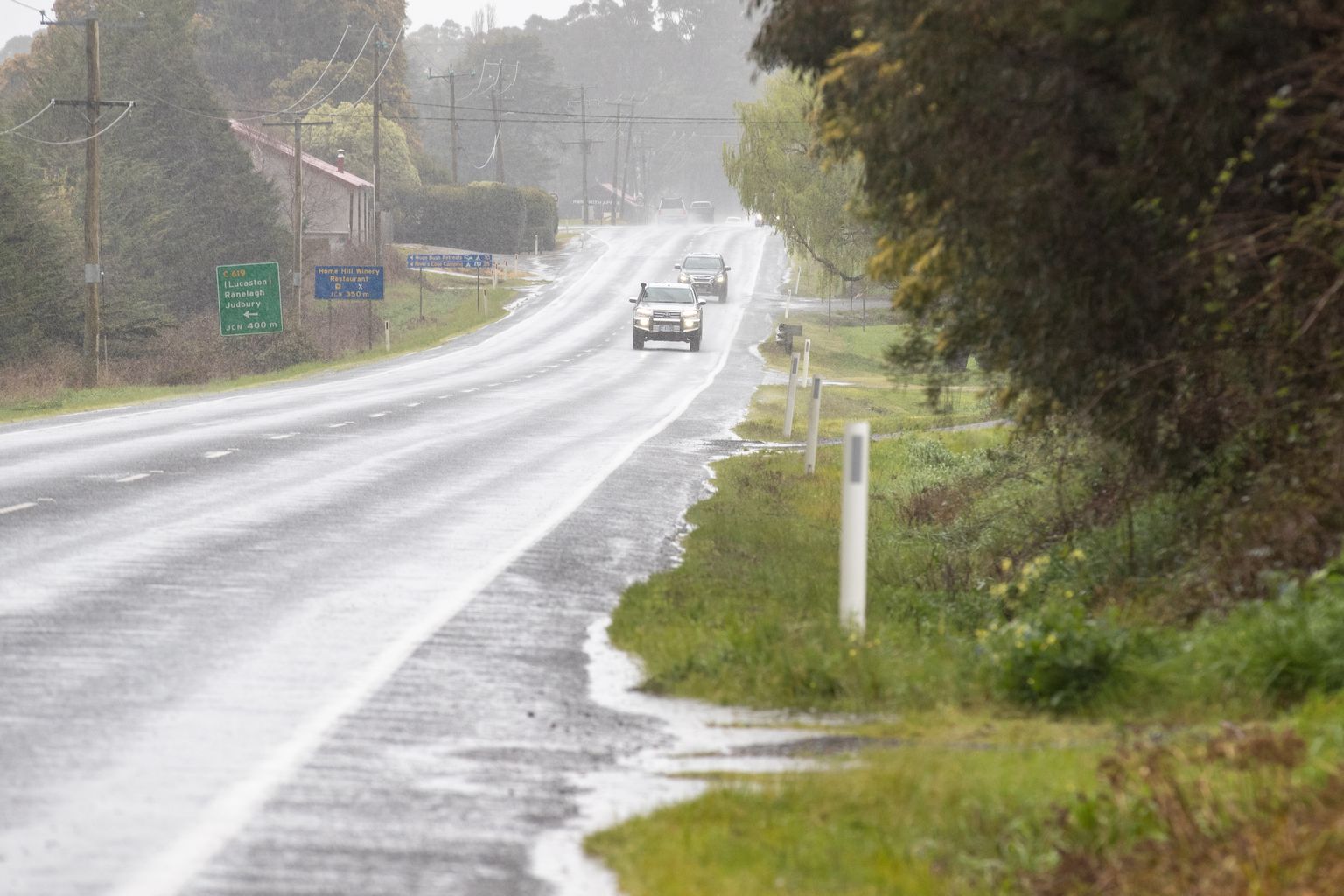
Some parts of Tasmania have recorded their most notable rainfall event of the year today, with some areas receiving their heaviest downpours since November.
Pine Forest Moor on the central plateau topped the state with 51.6 millimetres in the past 24 hours, while Cape Sorell on the West Coast recorded 35.2 millimetres.
Senior meteorologist Daniel Sherwin-Simpson told Pulse the rainfall was particularly welcome after a dry summer across northern Tasmania.
“Devonport received 38.6 millimetres across summer, normally they pick up 129.5 millimetres,” he said.
“So they’ve only received 30% of their average rainfall.”
The Bureau of Meteorology recorded similar patterns across the north with St Helens receiving just 42% of its average summer rainfall, while Hobart managed 51%.

However, the west coast fared better during summer, with Strathgordon recording 107% of its average rainfall.
Today’s weather system brought showers ahead of a cold front due to hit on Thursday.
Cape Sorell recorded the most intense rainfall, receiving 16 millimetres in just 30 minutes.
The state’s capital recorded 13.4 millimetres by afternoon, its highest daily total since November 4 last year when 25 millimetres fell.
“It’s been a while since we’ve seen this much rainfall in Hobart,” Sherwin-Simpson said.
Mount Wellington received about 20 millimetres.
Areas that missed out included the far northeast and Bass Strait islands, with Flinders Island recording just 0.4 millimetres.
Sherwin-Simpson said Tasmania had experienced below-average rainfall across large parts of the state for the past three years, with only the southwestern ranges and central plateau receiving normal amounts.

The meteorologist expects more showers to develop over northern areas through this evening, potentially adding to the totals without causing significant flooding concerns.