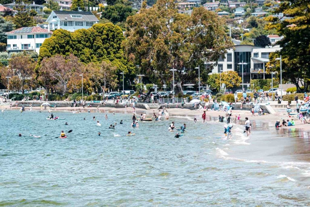
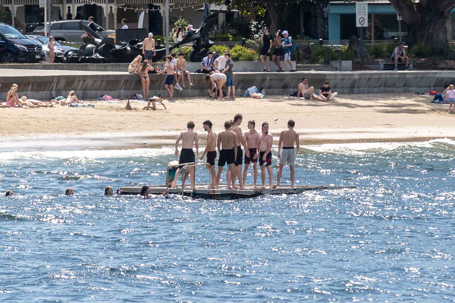
Tasmanians have been seeking relief from scorching temperatures today as a “severe heatwave” blankets much of the state, with some areas reaching above 35 degrees.
Fingal took the top spot as Tasmania’s hottest location, recording a sweltering 35.2 degrees at 4:03pm, while Flinders Island Airport followed closely with 34.5 degrees at 2:32pm.
Bushy Park recorded 33.9 degrees at 3:18pm, Ouse saw 33.9 degrees at 3:18pm, Hogan Island recorded 33.9 degrees at 4:17pm and temperatures in St Helens reached 33.6 degrees at 5:23pm.
Cressy saw temperatures soar to 32.3 degrees at 4:02pm, while Tunnack recorded 32.1 degrees at 4:02pm and Launceston Airport saw 31.7 degrees at 3pm.
The Bureau of Meteorology has issued severe heatwave warnings for several regions including the North East, East Coast, Central North, Midlands and North West Coast, with an extreme heatwave warning in place for the Furneaux Islands.
“Severe heatwave conditions are expected to ease by the weekend,” the Bureau stated.
A high-pressure system over the Tasman Sea extending a ridge across Tasmania is responsible for the hot conditions.
The heat pattern shows temperatures peaked between 2:30 pm and 5:30 pm, with inland and eastern areas bearing the brunt of the hot weather.
Residents in affected areas are advised to stay hydrated and seek cool environments, particularly in towns like Campbell Town, Fingal, Launceston, Oatlands, Ross, St Helens, Sheffield and Whitemark.
The forecast shows a gradual cooling trend beginning tomorrow, with isolated showers expected to clear by afternoon in most areas.
Hobart is set for milder conditions with a forecast maximum of 25 degrees tomorrow, while Launceston will remain warm at 31 degrees before temperatures drop further into the weekend.
By Saturday, fresh and gusty winds are expected across the state with showers likely, particularly in western and southern regions.
The hot conditions should fully subside by the weekend.