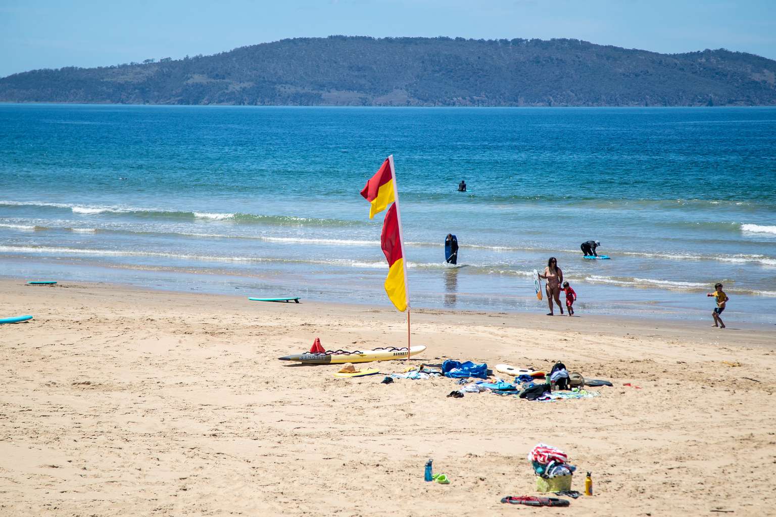
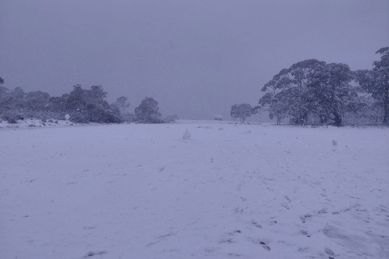
A cold south to south-westerly airstream brought showers, snow and gusty winds to Tasmania overnight, with conditions set to ease early this week.
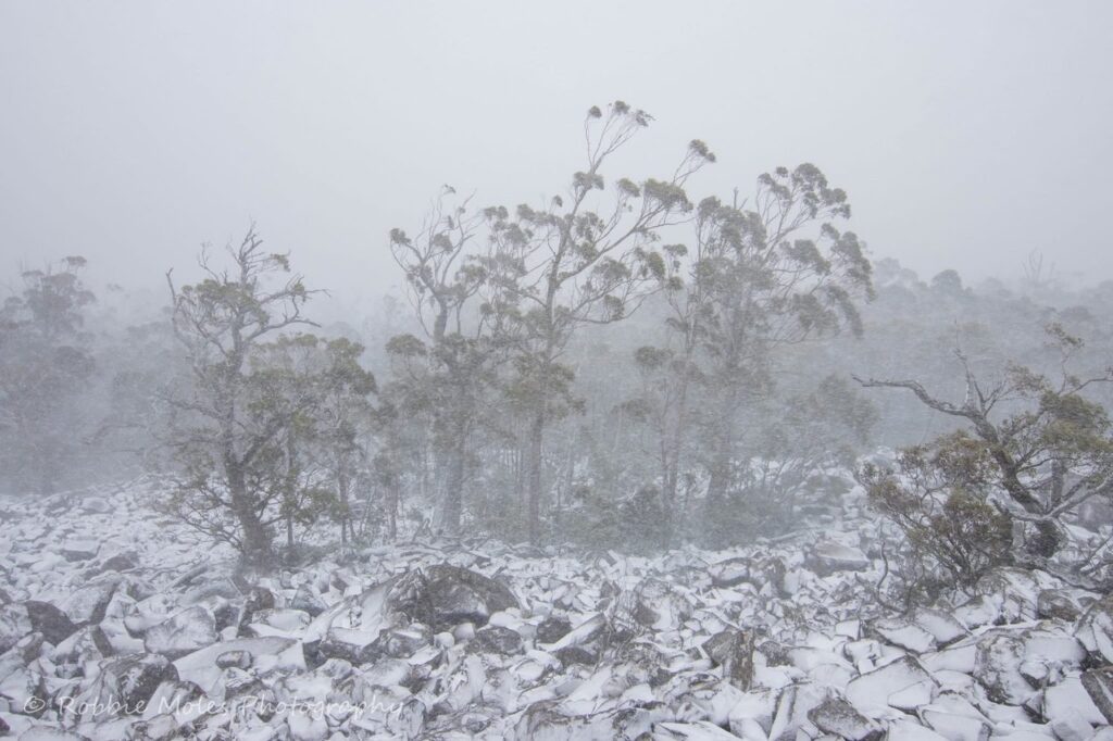
The Bureau of Meteorology said widespread snow fell across elevated parts of the state, “with some heavy falls around the central plateau and mountainous peaks”.
“… Light snow [was] also observed in the Victorian and New South Wales Alps,” the bureau said.
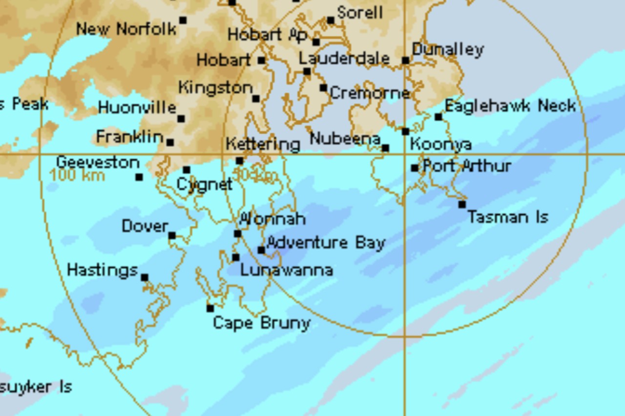
Cradle Valley recorded the highest rainfall at 64mm in the 24 hours to 9am on Sunday, followed by Dee Lagoon with 58mm and Henty Canal with 55mm.
Kunanyi/Mt Wellington recorded wind gusts of 115km/h, while Cape Grim, Flinders Island and Mount Read each saw gusts of 104km/h.
Hobart is forecast to reach just 11 degrees on Sunday with snow above 900 metres and possible small hail.
Devonport is similar at 13 degrees with up to 10mm of rain expected.
Launceston has the mildest conditions, forecast to reach 14 degrees with only a slight chance of a shower.
The bureau said “the cold and showery airstream” would continue on Sunday before easing on Monday and “finally clearing for most on Tuesday”.
Hobart should warm up through the week, reaching 17 degrees on Monday and 19 degrees on Tuesday.
Launceston is expecting 20 degrees on both Monday and Tuesday with minimal rain.