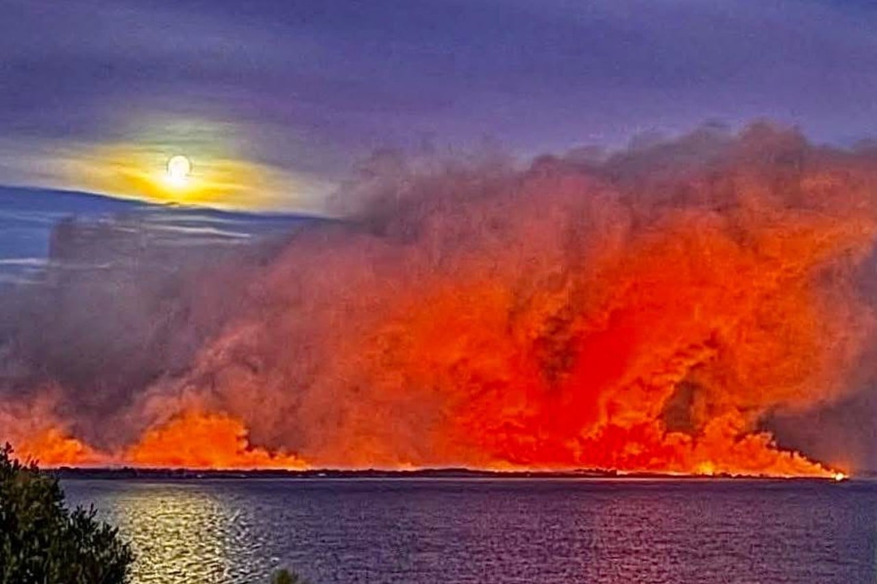
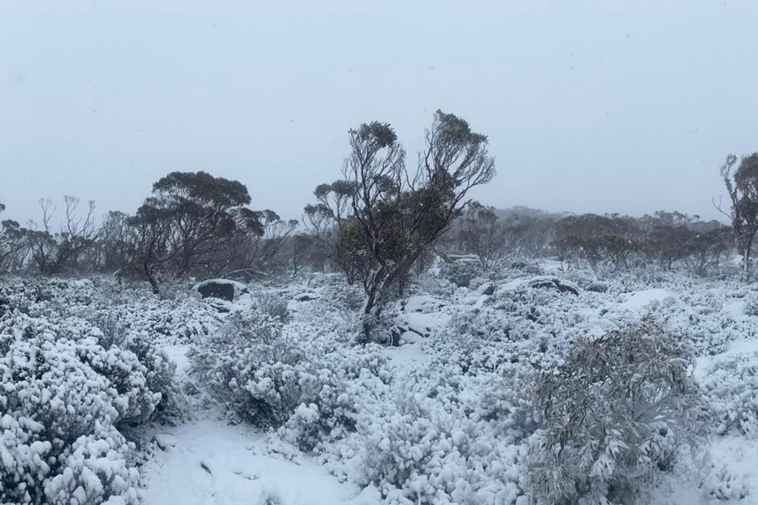
Tasmania’s highlands are experiencing a winter revival with snowfall across elevated areas this morning, continuing a cold snap that began over the weekend.
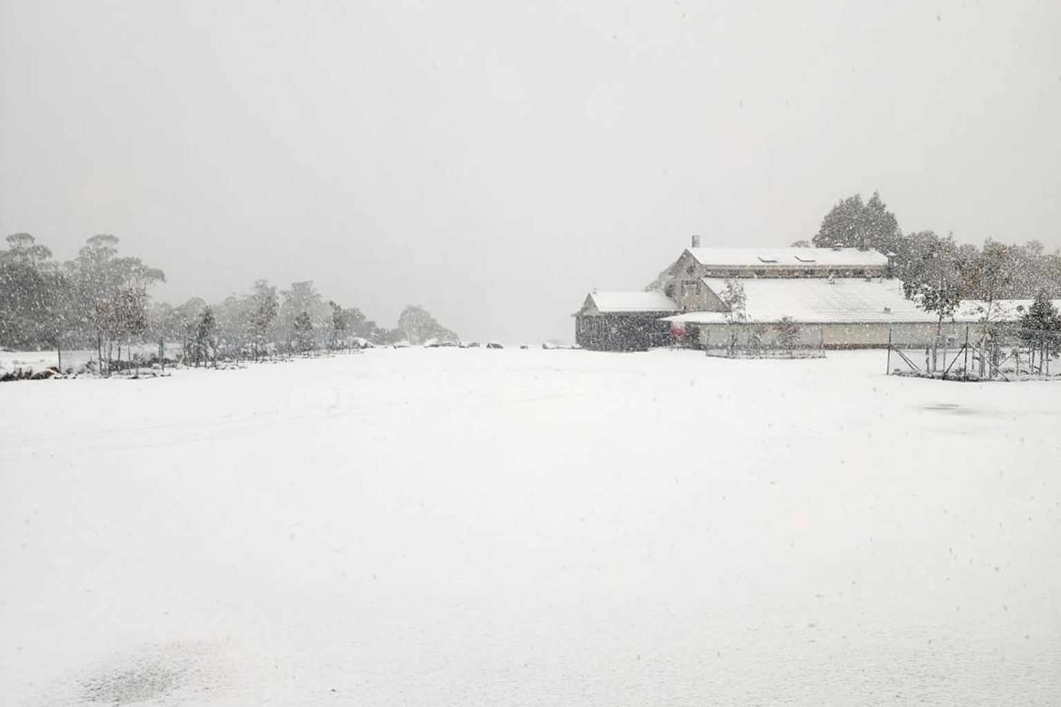
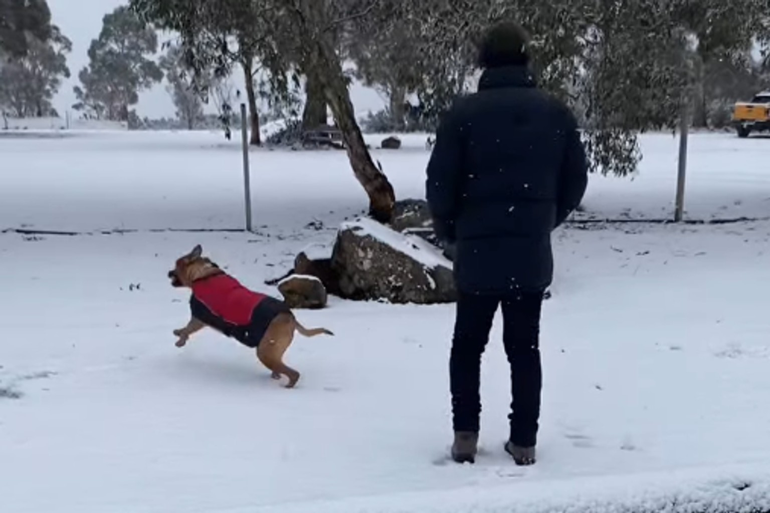
People at Miena in the Central Highlands woke to a picturesque scene of fresh powder.
“Woke up to a wonderful covering of snow this morning. Big flakes settling on the ground and forecast to fall all day,” Miena Village posted to social media.
The snow has also dusted Kunanyi/Mount Wellington in Hobart.
The Bureau of Meteorology had forecast snow to as low as 700 metres this morning, dropping further to 500 metres in southern areas by evening.
Fresh and gusty northwest to westerly winds are accompanying the showers statewide, with possible small hail about the west coast.
The cold conditions are set to intensify tomorrow with snow levels dropping even lower.
Thursday’s forecast predicts snowfall down to 300 metres in western Tasmania, 400 metres in southern regions, and 500 metres in the north.
Showers will mainly affect western, central and southern districts, as well as the Bass Strait Islands, before contracting to the west, far south and Bass Strait Islands by evening.
The weather system is being driven by a cold front crossing Tasmania early Wednesday morning, followed by a westerly airstream that will shift southwesterly on Thursday as another front moves through.
Friday will see conditions gradually improving as a high pressure system approaches from the west.
While showers and snowfall to around 500 metres will persist in western and southern regions, they are expected to clear during the afternoon.
The remainder of the state should experience fine conditions on Friday, though inland areas are likely to experience morning frost.


