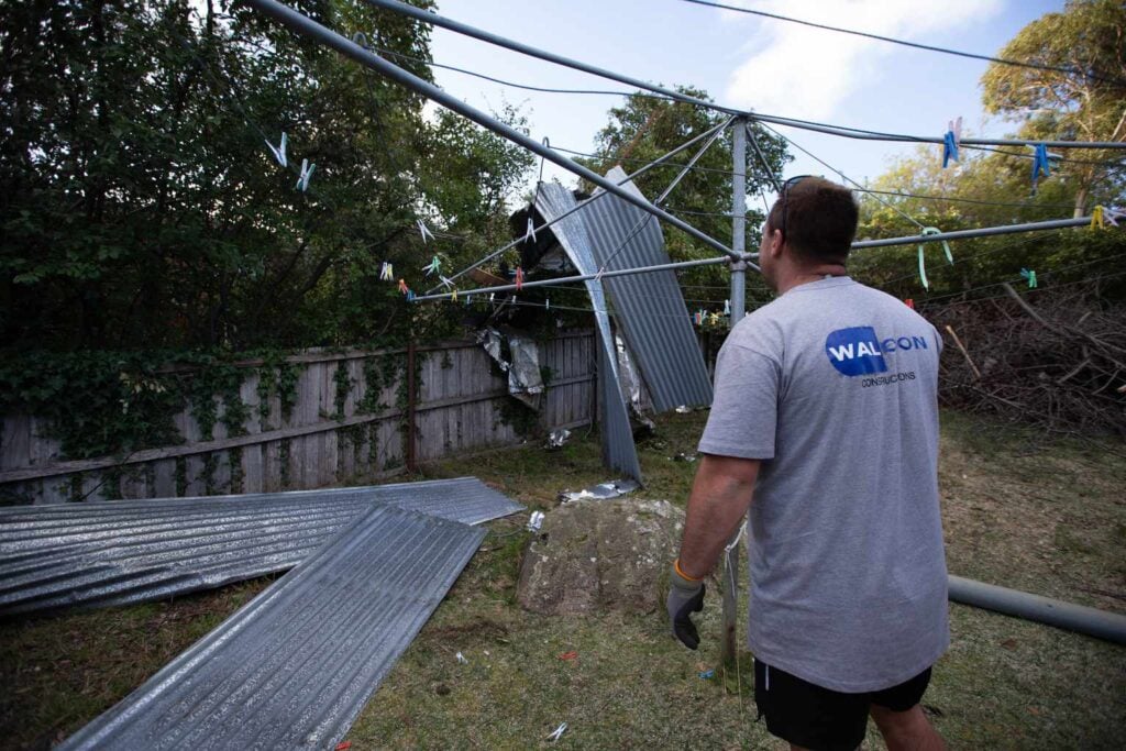
Tasmanians are being urged to secure their properties ahead of damaging winds in excess of 100km/h that are expected to hit the state on Friday.
The Bureau of Meteorology issued a severe weather warning on Wednesday afternoon, forecasting widespread gusts of up to 120km/h as a vigorous cold front sweeps across the state.
Tasmania SES Acting Assistant Director Operations and Resources Chris Irvine said the front has the potential to bring “an overlapping series of hazards, including damaging winds, thunderstorms and minor flooding”.
King Island and western coastal areas will cop the worst of it, with damaging winds averaging 65 to 75km/h and peak gusts around 120km/h from early Friday morning.
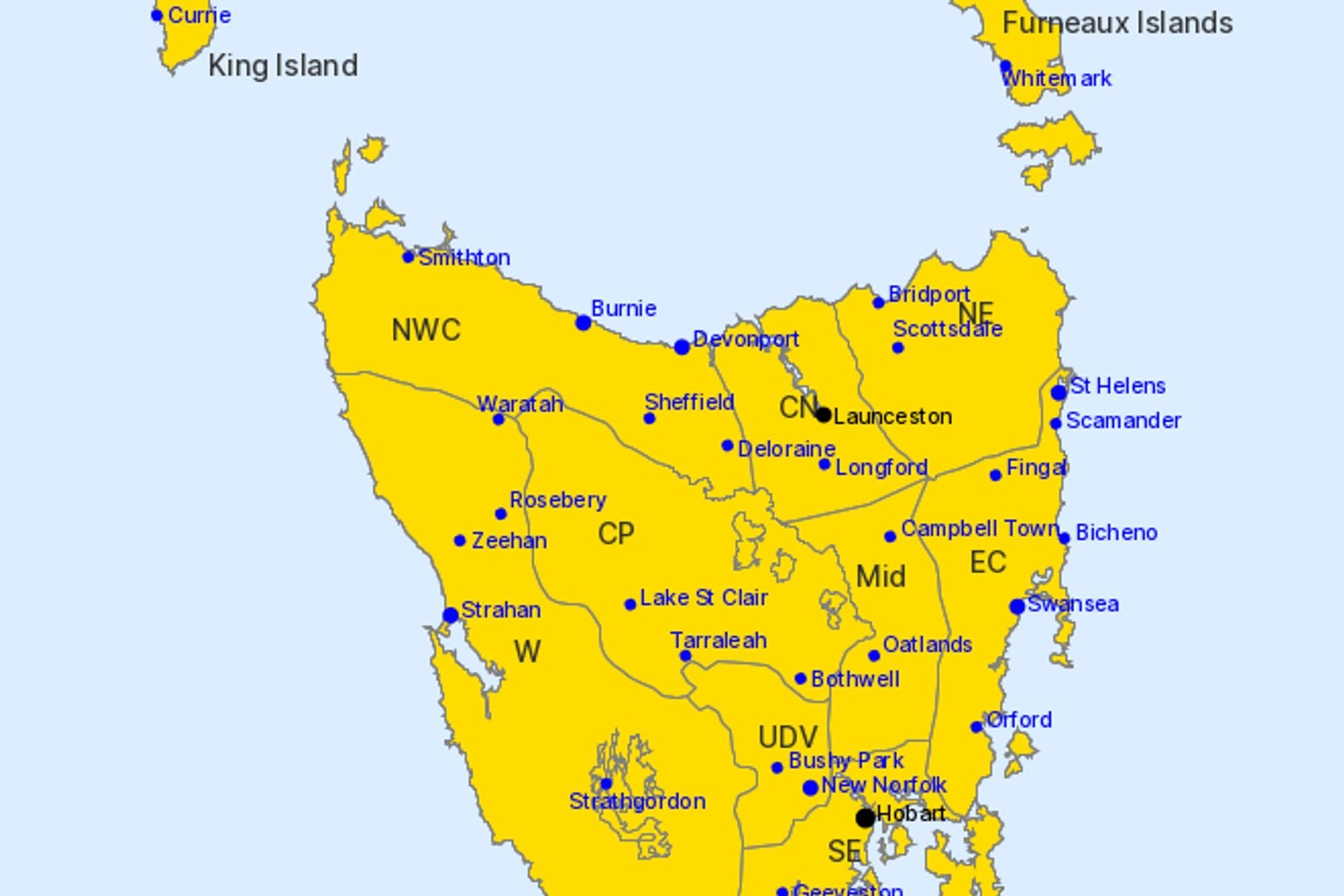
Northern coastal Tasmania and the Furneaux Islands can expect damaging winds averaging 60 to 70km/h with peak gusts around 110km/h, starting around sunrise and spreading east throughout the day.
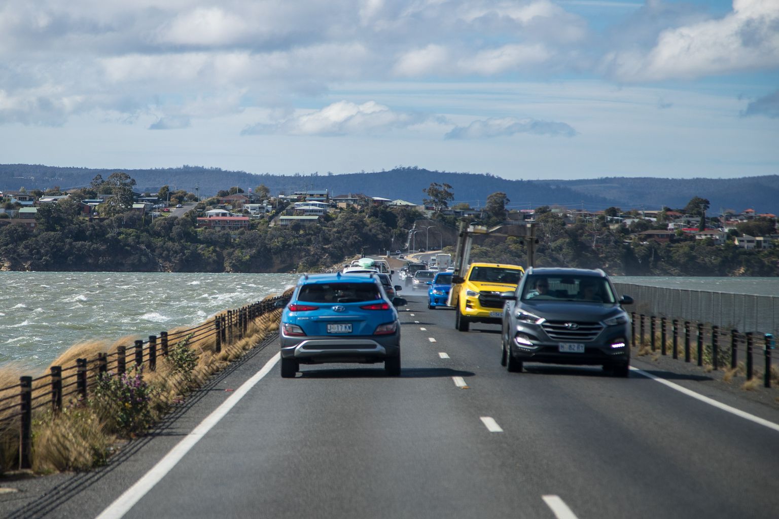
Hobart, Launceston and the rest of the state face damaging winds averaging 55 to 65km/h with peak gusts around 100km/h from sunrise Friday.
Elevated and exposed areas could see average winds of 70 to 80km/h with gusts reaching 120km/h.
“The severity of this weather event is not unusual for spring,” Irvine said.
“We do ask that people be aware of the potential for damaging winds and take the necessary precautions to secure their properties and to ensure that everyone stays safe.”
The risk from damaging wind is expected to contract to the far south on Friday evening, then ease during Saturday.
A flood watch is current for the River Derwent and western, northern and parts of the north east catchments, with minor flooding possible from Friday morning.
The SES is asking people in affected areas to monitor conditions and keep up to date with warnings on TasALERT.
“Our SES crews remain ready to help,” Irvine said.
“Their assistance can be requested by calling 132 500 and in an emergency people should always phone Triple Zero (000).“