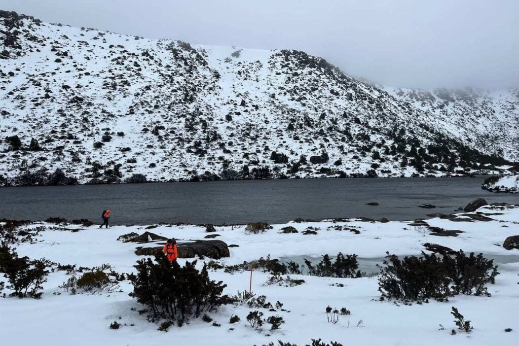
Bushwalkers are being warned to prepare for snow down to 600 metres in parts of Tasmania today.
The Bureau of Meteorology says conditions will be hazardous across the Western and Central Plateau districts as a run of cold fronts sweeps through the state.
The first system moved in from the west yesterday, with two more due tomorrow and Wednesday.
Showers spread from the west across the state yesterday, with thunderstorms popping up in some south-eastern areas during the afternoon.
Today will bring more showers, frequent in the west but patchy in the east, with snow expected to fall to 600 metres in the south through the morning and early afternoon.

Thunderstorms are possible in the north-east and small hail may fall in the west and far south.
Fresh, gusty west to south-westerly winds will continue.
A second front tomorrow will deliver showers mainly to the west, far south and Bass Strait Islands, with snow dropping to around 900 metres in the west late in the evening.
Small hail is also possible in the south-west.
On Wednesday, showers will be more frequent in the north and west, with snow falling to about 800 metres in the west and the chance of small hail again in the west and far south.
Winds will swing between west and north-west across both days.