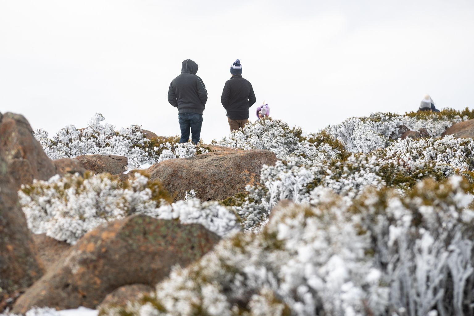
Snow is forecast to fall to 300 metres across southern Tasmania tomorrow as a cold front crosses the state overnight.
In the north, the Bureau of Meteorology is forecasting snow to 500 metres, rising to about 600 metres through the day.
Today, temperatures are forecast to reach 21 degrees in the Midlands and Upper Derwent Valley and up to 22 degrees on the east coast.
Showers about the north and west are expected to spread elsewhere late, while north-westerly winds will turn westerly and become fresh and gusty as the front approaches.
Maximum temperatures tomorrow are forecast to drop to between six and 12 degrees in the south-east and three to eight degrees on the Central Plateau.
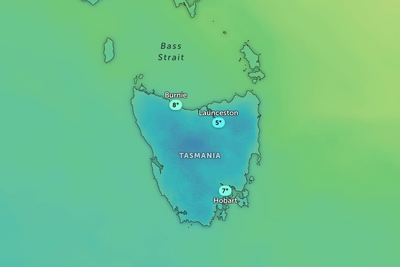
Mount Field and Kunanyi/Mount Wellington are forecast to reach two degrees, while Ben Lomond is expected to reach three.
Thunderstorms are possible about the south-west and north-east, the bureau says, with small hail also possible in the west.
The heaviest falls are forecast in the west and Central Highlands, with 10-25mm expected at Queenstown, 8-20mm at Lake St Clair and 6-20mm at Strahan and Waratah.
Westerly winds of 25-40km/h are forecast in the west and south-east, swinging south-westerly during the day.
Conditions are expected to ease on Wednesday as a high in the Bight extends a ridge over Tasmania.

Showers are forecast to continue in the west and far south, with snow above 600 metres, while mainly fine weather is expected elsewhere.
Wednesday morning is forecast to be the coldest, with temperatures falling to -6 degrees on Ben Lomond and -4 degrees at Liawenee and Kunanyi/Mount Wellington.
Frost is forecast through the Midlands, north-east and Central Highlands.
More frost is expected in the north-east on Thursday.