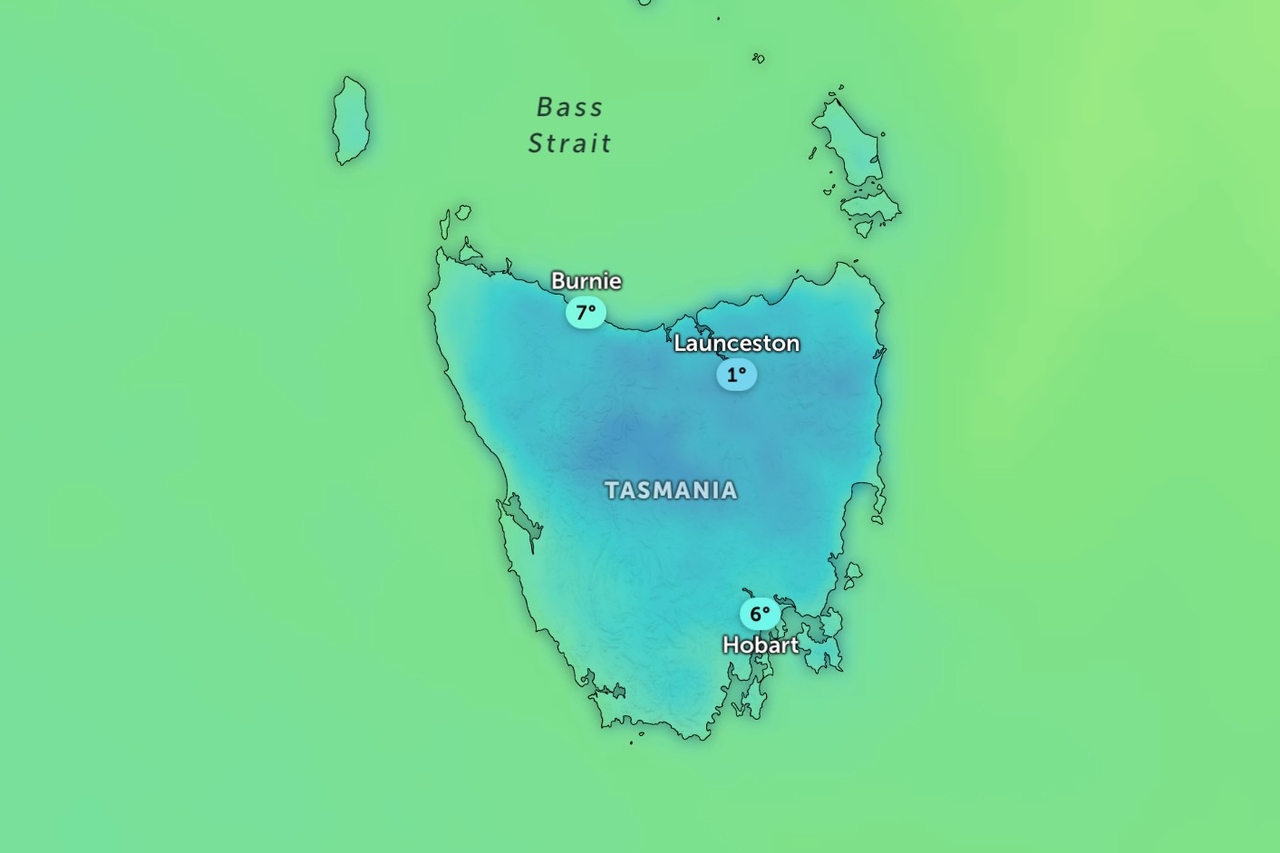
Tasmanians are in for a cold and windy week as a series of cold fronts sweeps across the state, bringing showers, alpine snow and gusty winds.
The Bureau of Meteorology says the first front will cross today, bringing scattered showers to the west and briefly into southern and central parts during the morning.
Conditions should clear to a mostly fine afternoon.
Snow is expected above 1,000 metres in the south during the morning, while winds will become fresh and gusty about elevated areas and exposed coasts.
The wettest weather is expected on Tuesday, when showers in the west spread statewide through the afternoon and evening.
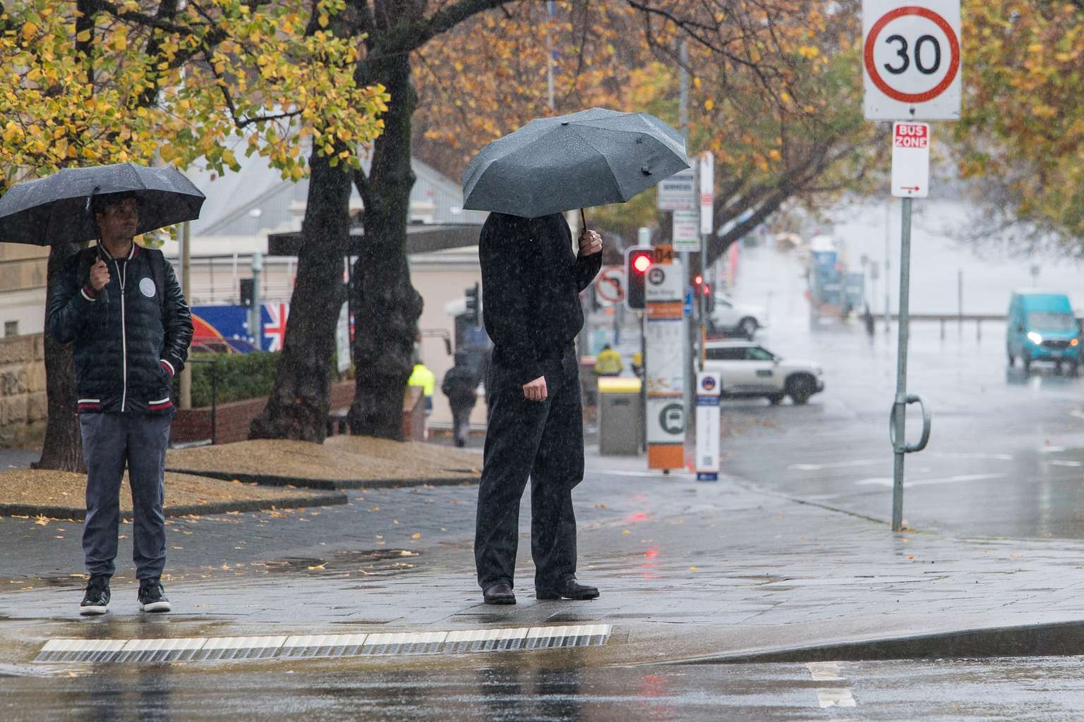
Snow levels will also drop to above 800 metres late in the day.
Patchy morning frost is possible inland, along with fog about central and north-eastern parts.
Conditions will start to ease on Wednesday, although showers will linger in the west and south.
Snow could fall as low as 600 metres in the morning before lifting back above 1,000 metres.
By Thursday, a ridge of high pressure will move in from the west, easing the showers and clearing the skies, although the north-east may still see a morning frost.