Tasmanians are again being urged to secure loose items as damaging winds of more than 100 km/h continue to lash much of the state today.
The Bureau of Meteorology has issued a severe weather warning, with the West Coast expected to cop the worst from late this morning.
“Damaging northwesterly winds averaging 65 to 75km/h with peak gusts in excess of 100km/h are possible,” the bureau said.
Central and eastern areas, including Hobart, are set to feel the impact from early afternoon, with gusts of around 100km/h forecast.
The wild weather is being driven by a low-pressure system south-west of Tasmania, pushing a series of cold fronts across the state.
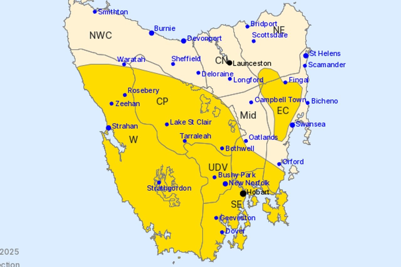
Towns in the warning area include Hobart, Strahan, New Norfolk, Bothwell, Geeveston, Dover, Strathgordon, Zeehan and Tarraleah.
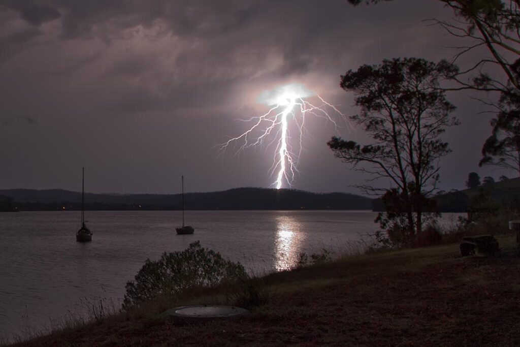
Along with strong winds, the system will bring rain and thunderstorms to parts of Tasmania, with snow expected down to 900 metres in the west tonight.
The bureau says there is a “chance of thunderstorms about the north and west” and warns they could be “possibly severe”.
Conditions are forecast to ease on Wednesday morning as the low moves into the Tasman Sea and winds drop below warning thresholds.
Showers will linger on Wednesday, mainly in the west, with snow levels falling to 700 metres.
Thursday should see light showers in the west, with a chance of morning frost inland.
Another cold front is due on Friday, bringing fresh north-westerly winds and more showers.