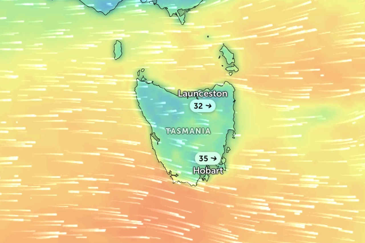
Almost all of Tasmania is in line for damaging winds on Thursday as a cold front crosses the state.
The Bureau of Meteorology has issued a severe weather warning for King Island, the Furneaux Islands and the western, upper Derwent Valley, south-east, north-east, east coast, north-west coast, central north, Central Plateau and Midlands districts.
It is forecasting damaging westerly winds of 55 to 65km/h, with peak gusts of about 120km/h, developing early on Thursday morning about exposed coasts, King Island and elevated terrain.
Gusts of about 100km/h are expected in the rest of the western area from early on Thursday morning and in the north-east and Furneaux Islands during Thursday morning.
The bureau said damaging gusts were more likely to come with showers and thunderstorms.
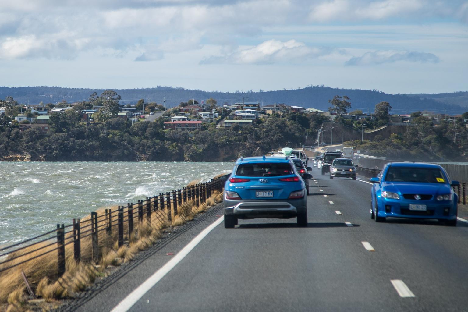
Snow is forecast to fall to 800 metres by Thursday afternoon, with small hail possible in the west and far south.
Damaging winds averaging 55 to 65km/h, with gusts reaching 100km/h, are also possible about exposed coasts anywhere in the state through Thursday afternoon.
The winds are expected to contract to the south and south-west of the state late on Thursday evening before easing on Friday morning.
St Helens, Strahan, New Norfolk, Currie, Scottsdale and Whitemark are among the towns likely to be affected.
The State Emergency Service (SES) has issued a storm advice asking people in the warning area to monitor conditions.
It said the winds could bring down trees, branches and powerlines, damage homes and vehicles and lead to dangerous driving conditions.
A stronger cold front is forecast to cross the state on Saturday, with a low pressure system passing to the south.