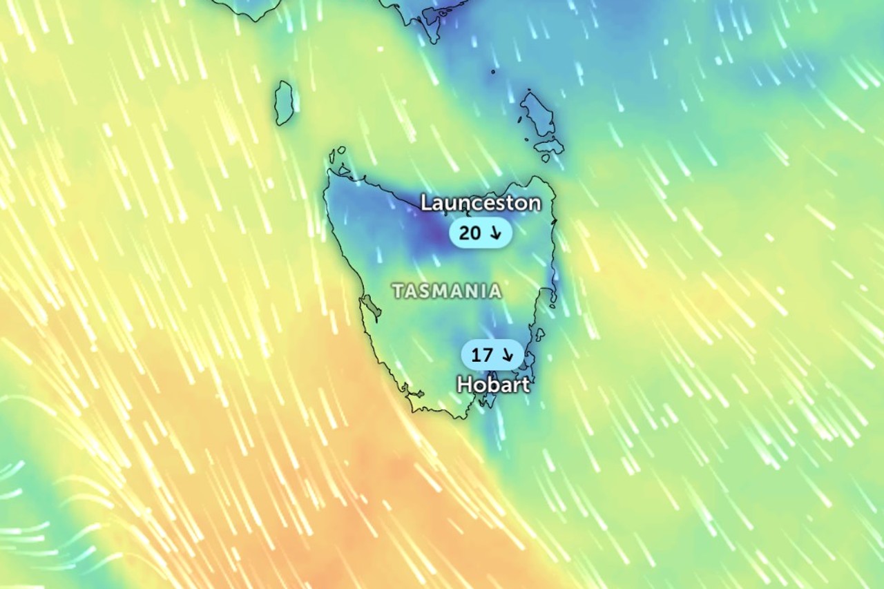
Tasmania is bracing for damaging winds today as a cold front crosses the state, bringing gusts of about 100km/h to elevated areas.
The Bureau of Meteorology has issued a severe weather warning, forecasting the strongest winds over elevated parts of southern and eastern Tasmania.
The warning covers parts of the western, upper Derwent Valley, south-east, north-east, east coast and midlands forecast districts.
Fingal and Strathgordon are among the locations likely to be affected, the bureau said.
The gusts are expected to develop from late this morning and peak during the afternoon, before easing below warning thresholds in the evening.
The bureau said the winds would come ahead of the front, driven by vigorous north to northwesterly flow.
Tasmania SES has issued a storm advice urging people to monitor conditions.
It warned the winds could bring down trees, branches and powerlines, send objects flying, damage homes, buildings and vehicles and create dangerous driving conditions with possible road closures.
It also urged residents to stay indoors where possible, avoid sheltering under trees or powerlines, secure loose outdoor items and move vehicles under cover or away from trees.
People should be ready for possible power, water, phone or internet outages, the SES said.
The unsettled weather is expected to continue through the week, with further cold fronts forecast to cross on Thursday and again late Friday.