Damaging winds, snow and thunderstorms are battering southern Tasmania as a cold front crosses the state.
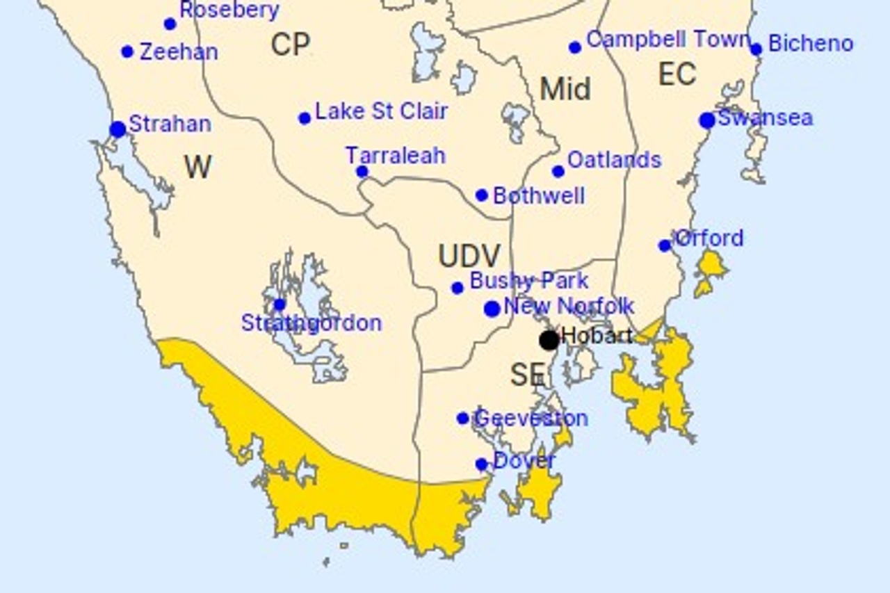
The Bureau of Meteorology has issued a severe weather warning for parts of the west, south-east and east coast.
Winds averaging 60 to 70km/h, with peak gusts of around 100km/h, are forecast for exposed parts of the southwest and southeast coasts and islands.
There is a chance of thunderstorms in the far south through the morning and early afternoon, with possible small hail.
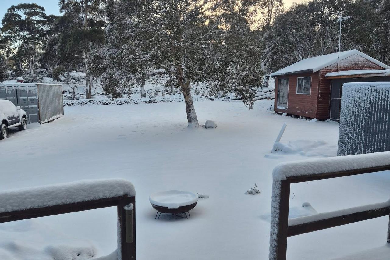
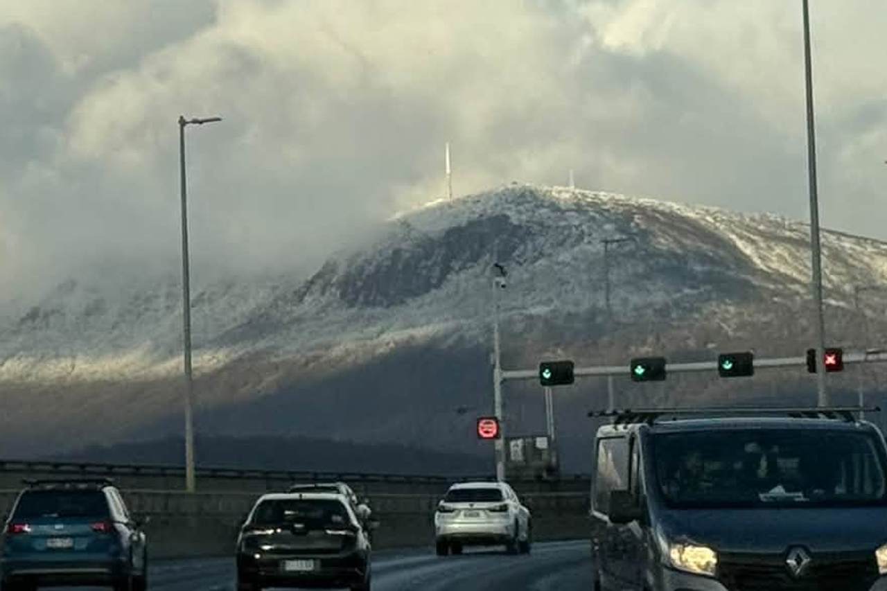
Snow is falling to around 300 metres in the south this morning and is expected to rise above 700 metres later in the day.
Snow showers are forecast for Kunanyi/Mount Wellington, Mount Field, Cradle Valley and Lake St Clair.
Tasmania SES has warned of fallen trees and powerlines, flying debris and dangerous driving conditions.
It is urging people to stay indoors where possible and prepare for power and phone outages.
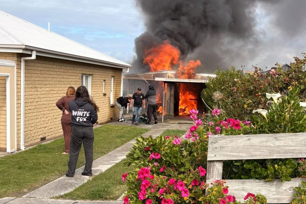
Despite the cold, the BOM has rated fire danger high for the south-east, east coast, Midlands, north-east and central north.
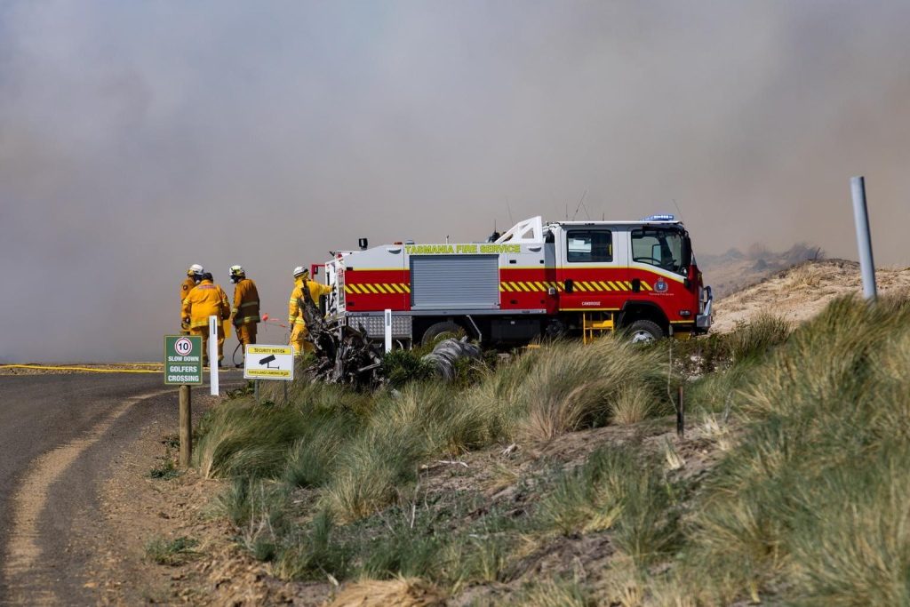
Tasmania Fire Service deputy chief officer Matt Lowe said dry fuels and strong winds could still support fast-moving fires, particularly on the east coast.

“People may see rain or colder temperatures and assume the fire risk has eased across Tasmania, but that’s not necessarily the case,” he said.
“Even after rain, embers can remain active and reignite when conditions become favourable.”
Lowe urged people to make sure campfires, fire pits and recent burn-offs were fully extinguished.
High pressure is expected to bring frosty mornings and light winds on Wednesday and Thursday.
Temperatures will then climb, with Huonville, New Norfolk and Ouse forecast to reach 27 degrees by Monday and little rain expected.
Lowe said it was a good time to review bushfire plans.
“If you see a fire, don’t assume a fire has already been reported,” he said.