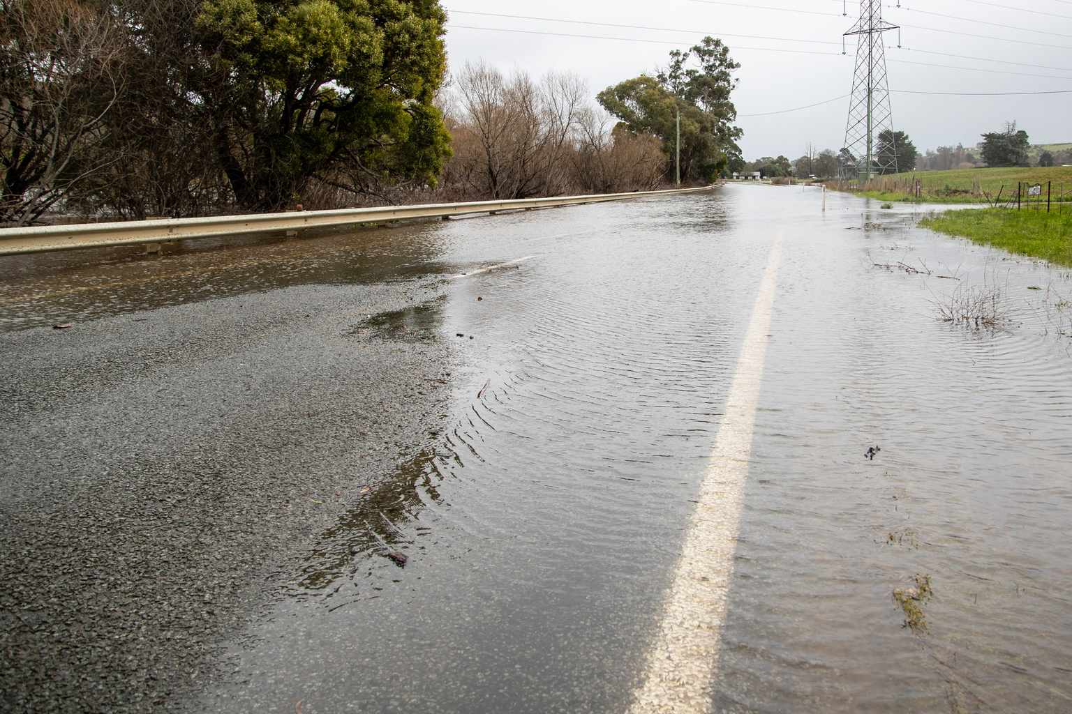
Minor flooding is possible across parts of Tasmania’s north, north-east and north-west from Saturday afternoon, the Bureau of Meteorology says.
A low-pressure system, trough and cold front are expected to cross the state on Saturday, bringing rain and thunderstorms from overnight Friday.
The rain is likely to lift river levels across the region.
The bureau said catchments in the flood watch area were already wet and river levels were elevated after rainfall over the past few weeks.
Catchments likely to be affected include the Mersey, Meander, Macquarie, South Esk and North Esk rivers.
Flooding is no longer expected in the Derwent catchment.
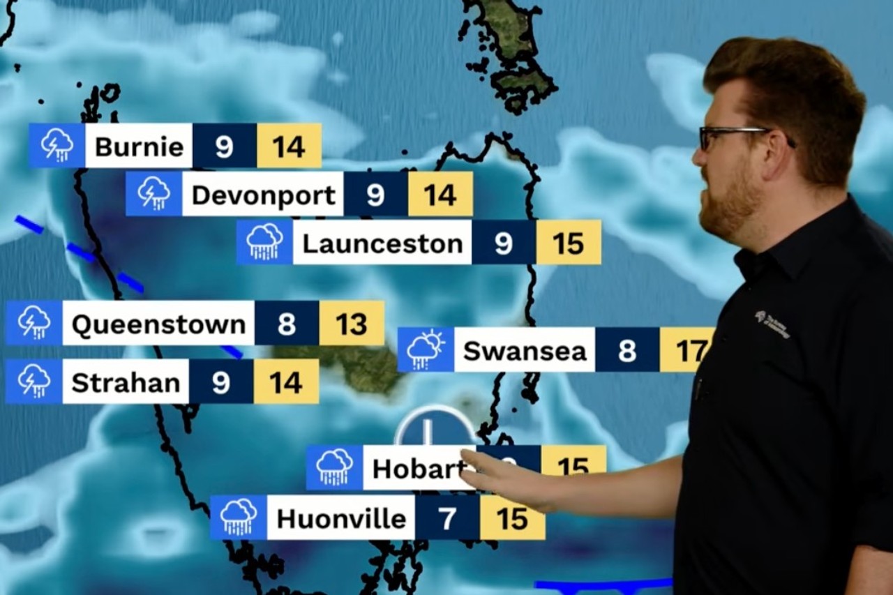
Meteorologist Dean Narramore said Tasmania would catch the edge of the system as it passed to the north, bringing widespread rain across the west and north, with some also reaching the east.
He said thunderstorms were “quite possible” in western parts of the state, while temperatures would fall through the day as the front moved through.
Narramore said “snow flurries” could also develop around elevated areas in the west and central parts of the state late in the day.
On the flood risk, he pointed to widespread moderate to heavy rainfall across the north and centre.
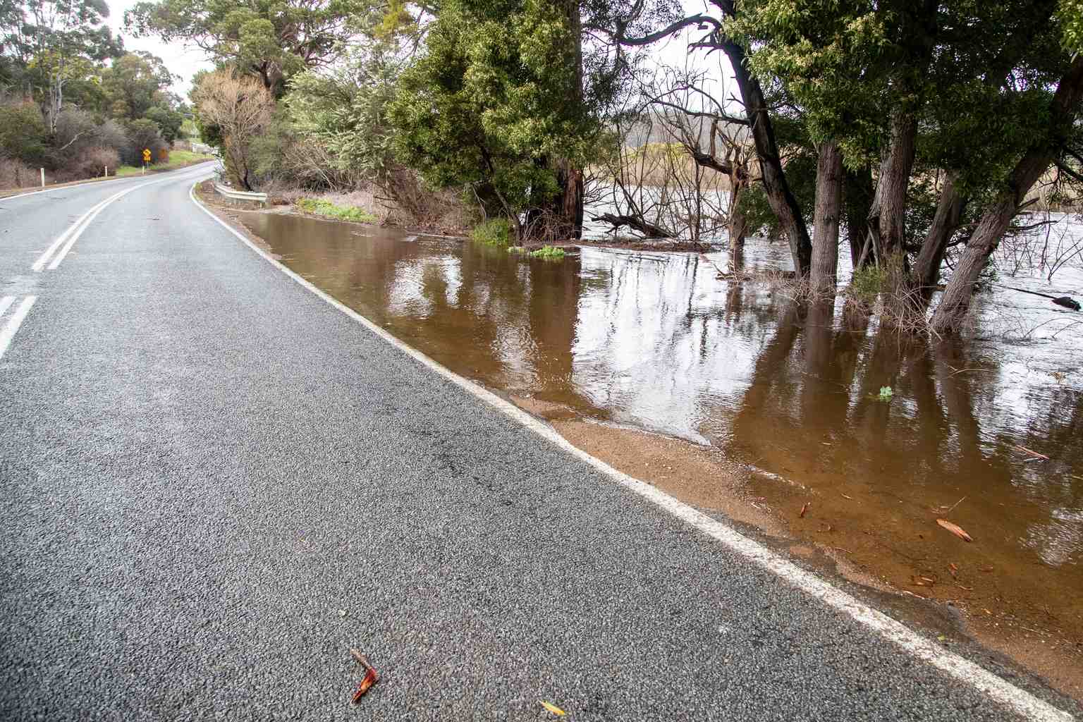
“We could see some minor flooding develop there. So watch out for that,” he said.
Hobart is in for a wet Saturday, with a very high chance of rain and a possible thunderstorm in the late morning and afternoon.