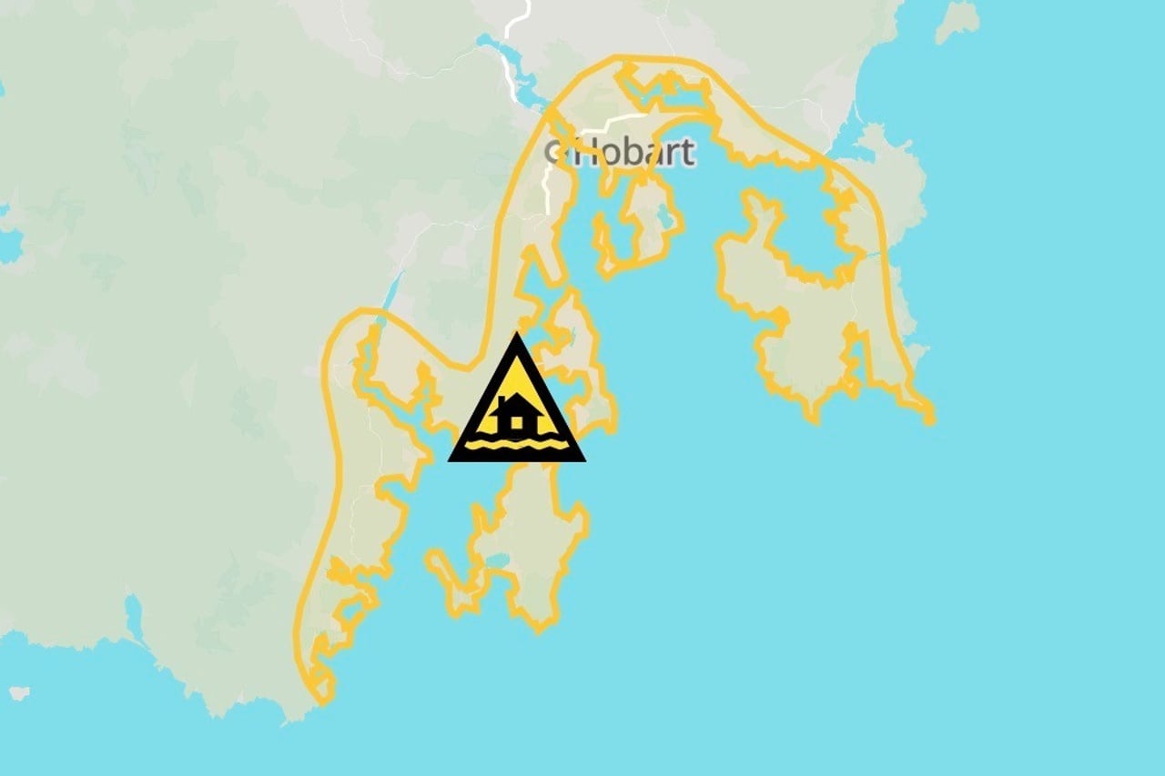
The State Emergency Service (SES) has warned that abnormally high tides could flood low-lying parts of southern Tasmania over the next 48 hours.
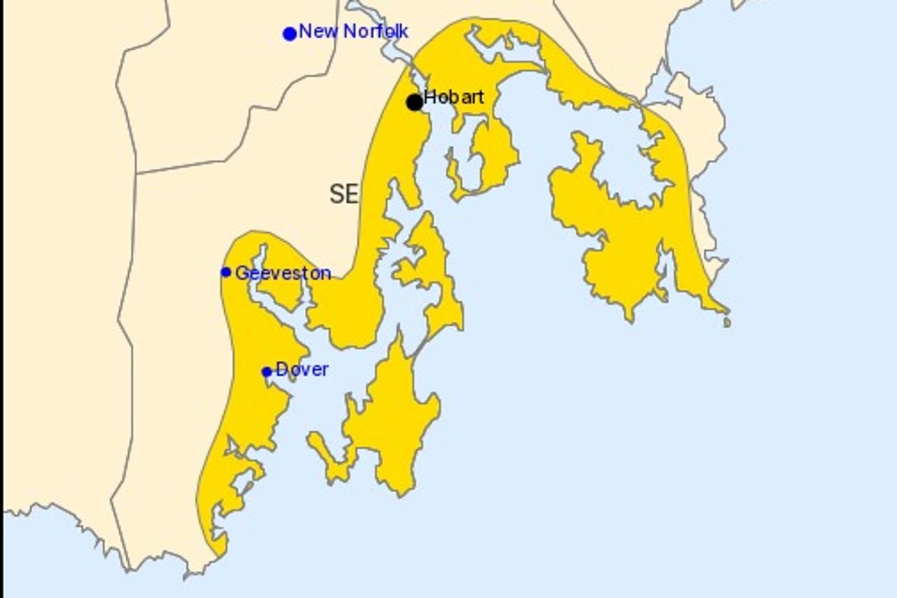
The advice covers Hobart, Huonville, Geeveston, Dover, Dodges Ferry, Lauderdale and surrounding areas.
The Bureau of Meteorology issued a coastal hazard warning for the south east forecast districts, with tides expected to rise well above the normal high tide mark during Sunday evening’s high tide.
The SES said sea and river water could rise above normal levels, leaving some coastal roads impassable and cutting off communities.
It warned of dangerous driving conditions and said flood waters were a risk to safety.
“Never walk, play, ride or drive through flood waters,” the SES said.
The SES advised residents to prepare for possible temporary isolation by making sure they have essential supplies.
It said anyone whose conditions worsened should consider relocating to family or friends in a safer area, if it was safe to travel.
The warning comes as a series of cold fronts crosses Tasmania, with Hobart facing a cold, wet and windy few days.
Showers are expected to increase across the city on Sunday, with a high chance of rain and northerly winds turning northwesterly and gusty.
Conditions are forecast to worsen on Monday, with a very high chance of showers, winds of 25 to 35km/h and overnight temperatures dropping to around six degrees.
Snow is forecast to fall to around 600 metres across the state on Monday.