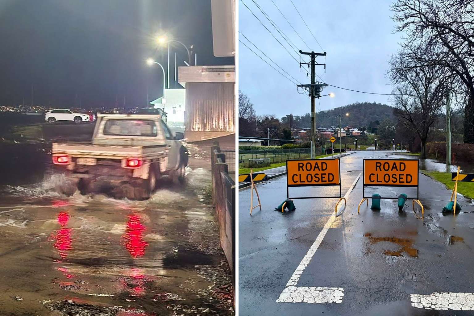
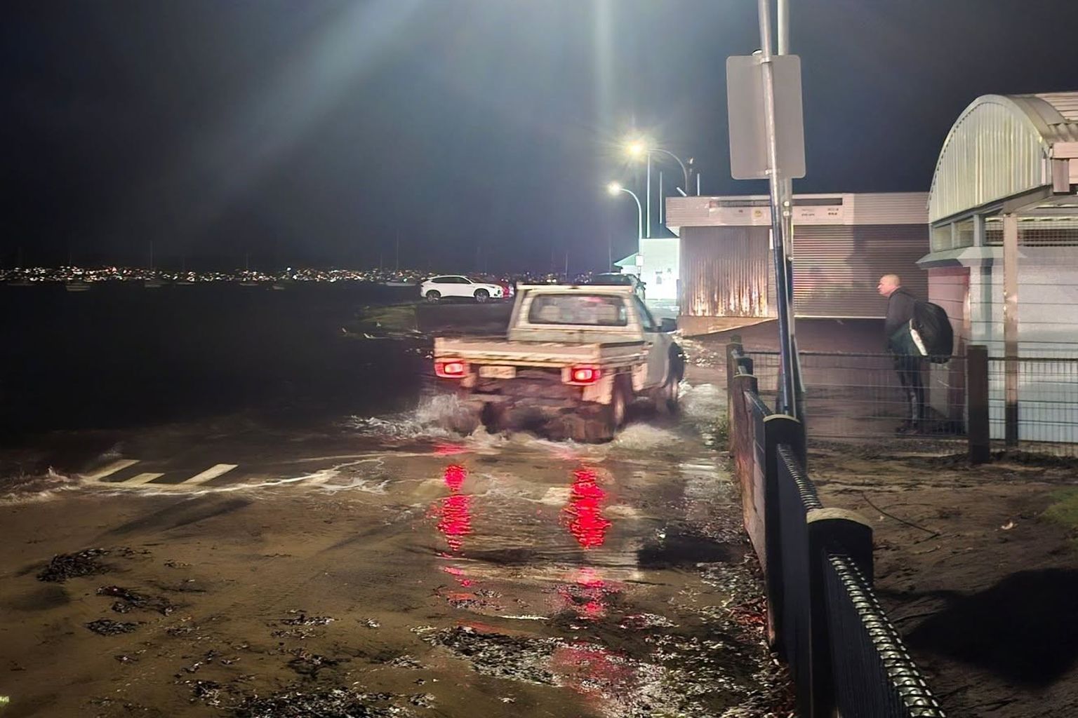
Hobart has been hit by abnormally high tides this evening as a fierce low pressure system flood streets and strand cars across southern Tasmania.
Multiple vehicles were caught out in Sandy Bay as sea water surged into low-lying areas around 6:30pm, when the tide reached its peak.
The Bureau of Meteorology said the tide was “expected to be about as high” as the one on June 24 last year and that “similar inundation impacts are possible”.
During that event, South Arm Road at Lauderdale went under water, a jetty on Hobart’s eastern shore was submerged and waterfront car parks at Sandy Bay and Margate were flooded.
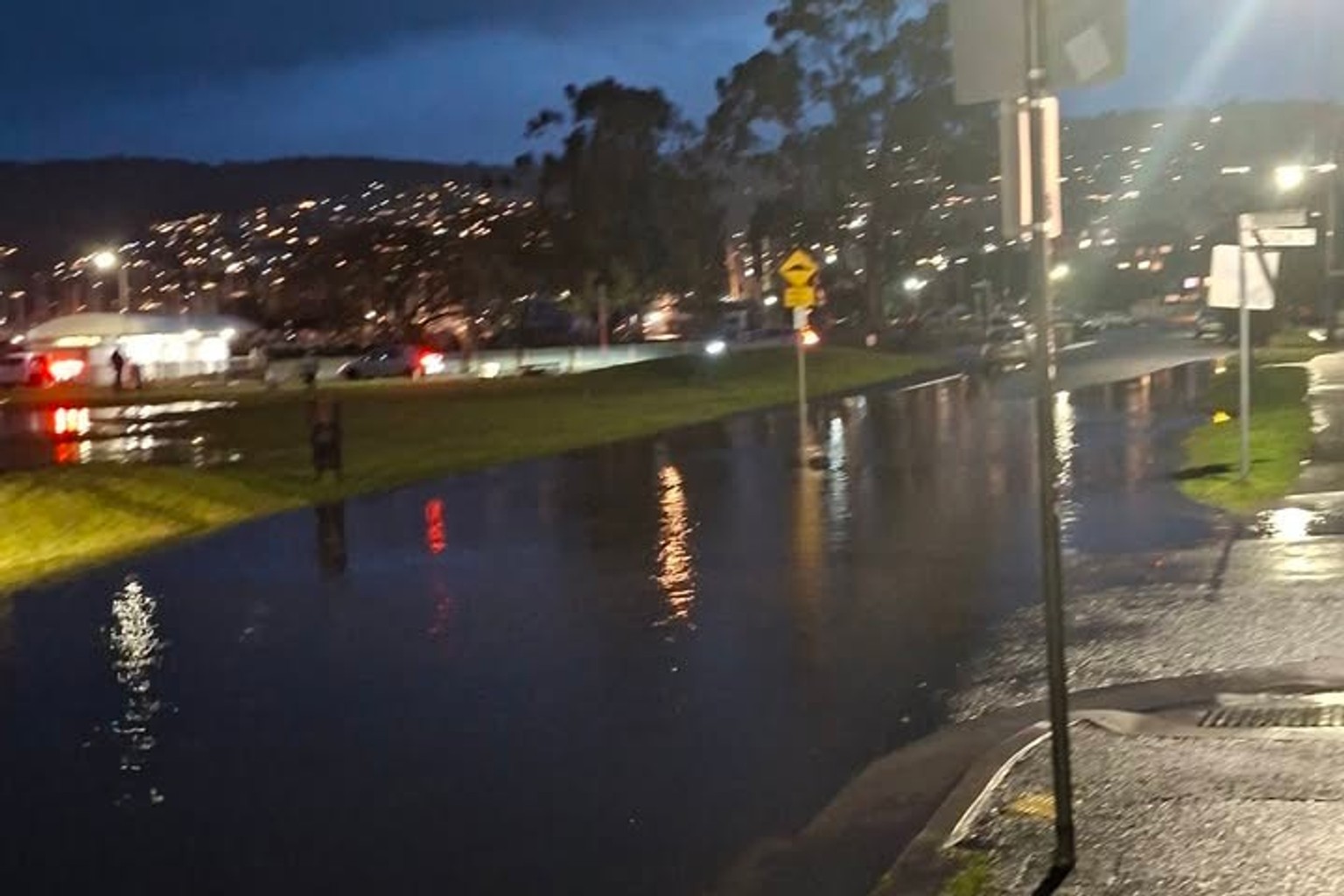
The Esplanade at Huonville was also shut.
This time around, areas expected to be hit with flooding spread across a long list of communities including Bruny Island, Clifton Beach, Huonville, Geeveston, Dover, Southport, Dodges Ferry, Maria Island, Orford, Triabunna, Eaglehawk Neck, Port Arthur, Lauderdale and New Norfolk.
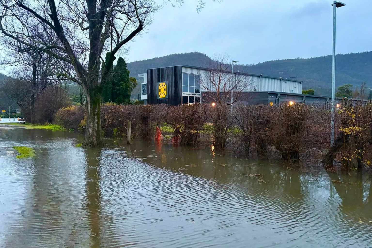
The Tasmania State Emergency Service issued flood advice for areas around New Norfolk, warning that rising streams and rivers were likely to cause problems over the following 12 hours.
Flood waters could threaten livestock, equipment and crops, while some properties risked becoming cut off, the SES said.
Residents were urged to stock up on essential supplies, keep watch on conditions and avoid walking, riding or driving through flood waters.
Wild winds added to the chaos across the state.
A 163km/h gust was recorded at Maatsuyker Island this morning, with 139km/h at Scotts Peak Dam and 137km/h at Hartz Mountain.
A severe weather warning for damaging winds covered King Island, the Furneaux Islands and parts of the west and north-west.
The bureau also flagged dangerous driving conditions on snow-covered roads above 600 metres across the Central Plateau this evening and on Tuesday morning.
A sheep graziers warning was current for the Upper Derwent Valley and South East forecast districts.