Hobart is forecast to reach 27 degrees on Sunday, according to the Bureau of Meteorology, in a brief warm spell sandwiched between two rounds of severe weather.
The warmth and wind have prompted a warning from the Tasmania Fire Service, which is urging people to take extra care with fire this weekend.
The bureau says a northwesterly airstream ahead of a cold front will push temperatures well above the September average across the state’s south and east.
Campania and Richmond are also forecast to reach 27 degrees, with Ouse tipped for 26 degrees.
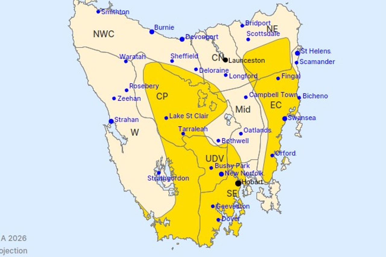
On the east coast, Bicheno, Coles Bay and Swansea are forecast to reach 25 degrees.
Queenstown, Strahan and Rosebery, on the usually cooler West Coast, are forecast to reach about 21 degrees.
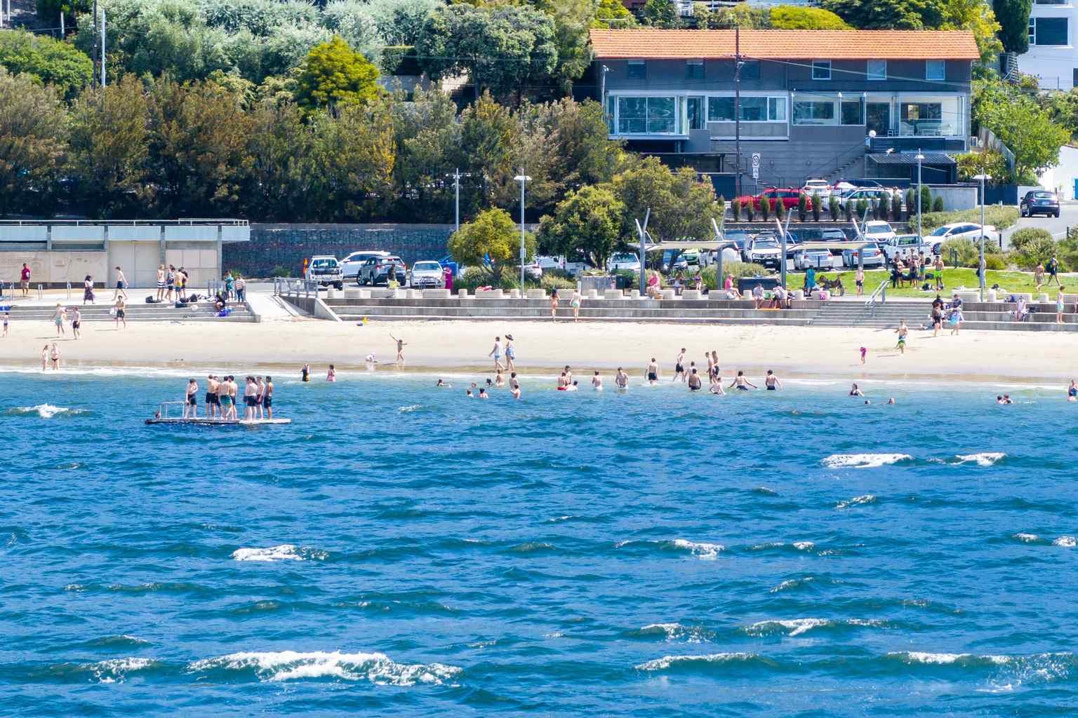
The warm day follows damaging winds that hit much of Tasmania today, prompting a severe weather warning.
The bureau is forecasting peak gusts of around 100km/h in the south, with gusts exceeding 120km/h at elevated southern locations.
Those winds are expected to ease in Hobart late tonight or early Saturday morning and clear the state by late Saturday morning.
Another burst of damaging winds is expected from Sunday morning, with a cold front crossing the state that evening and bringing showers to the west and south.
A high fire danger rating has been forecast for Sunday across King Island, the Furneaux Islands, the north-east, east coast, Midlands, upper Derwent Valley, south-east and western districts.
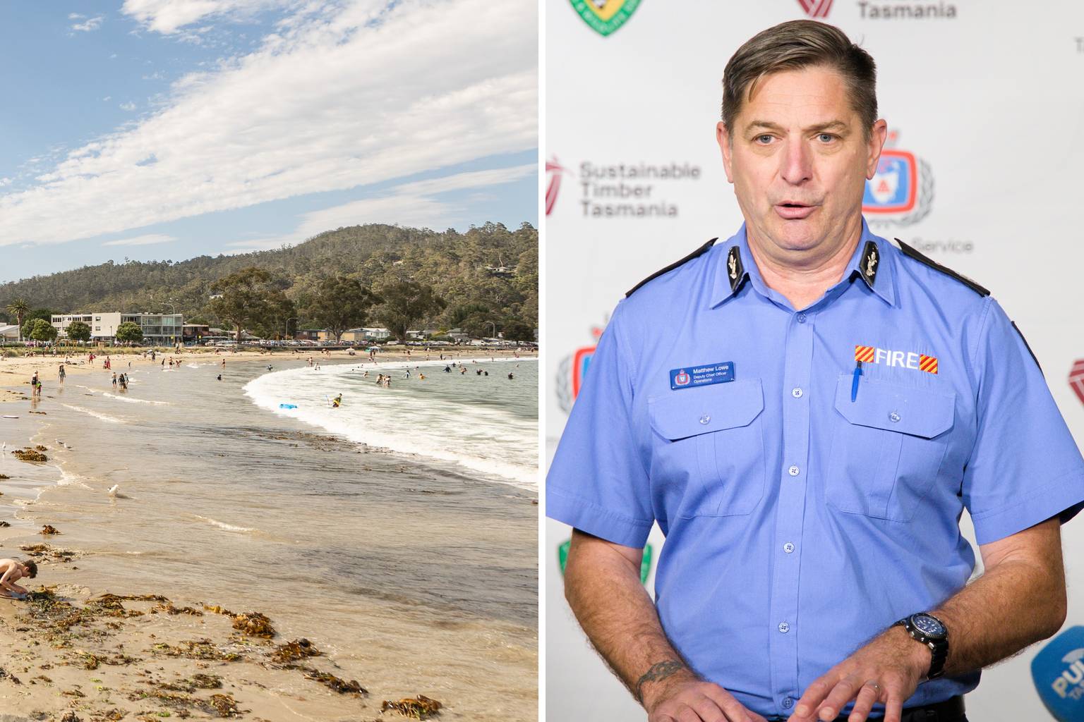
The fire permit period has not started and there are no fire restrictions in place, but Tasmania Fire Service deputy chief officer Matt Lowe is asking people to hold off on registered burns.
“While we are early into the spring bushfire season, we have identified elevated bushfire risks in drier areas of the state, particularly the Furneaux Group and along the east coast and Midlands,” he said.
“Strong winds and dry conditions mean fires can start easily and spread quickly.”
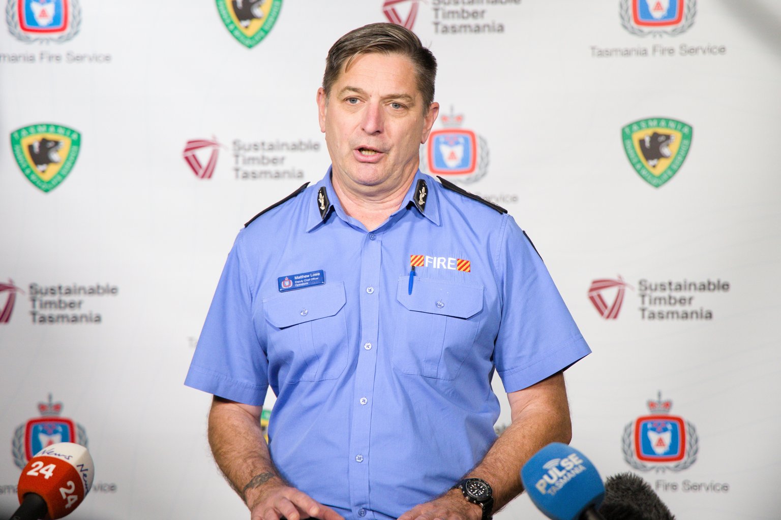
Lowe said people should also check campfires, burn-offs and firepits lit in recent days or weeks are fully out. He said the best practice is to “soak it, stir it and soak it again”.
He is asking the community to be “aware”, not “alarmed”.
“We will look at putting in a fire permit period over the coming weeks.”
“For this Sunday, we’ll have additional resources stood up.”
“We’ll have dual brigade response for every incident across the state.”
“In the southern region where we’ve particularly got some small areas of extreme or small pockets of extreme fire danger, we’ll have aircraft on standby and a regional operations centre stood up at Cambridge.”
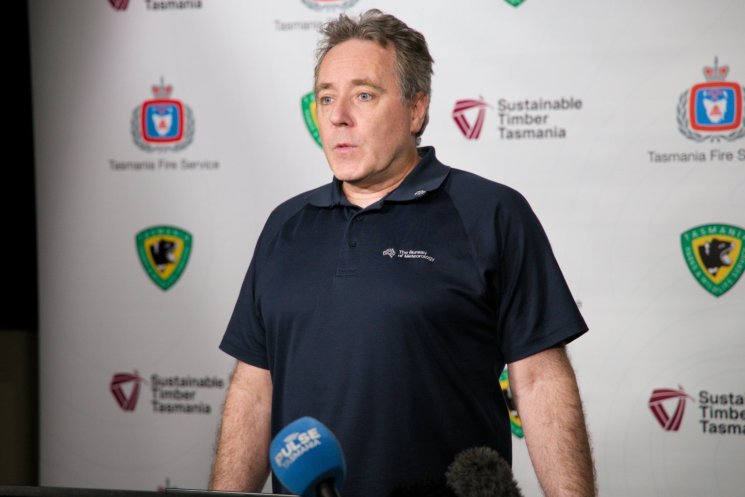
Bureau of Meteorology forecaster Matthew Thomas said the high fire danger is a “combination” of “the hot, the dry and the windy conditions”.
“These spike fire days do occur in Tasmania … we only would normally get one or two each year,” he said.
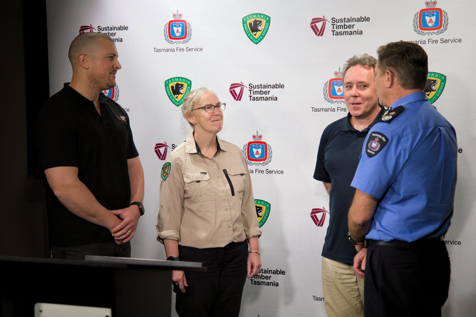
Extra crews, equipment and firefighting aircraft will be on standby across the weekend, with Parks and Wildlife and Sustainable Timber Tasmania also involved.
Colder air is forecast to follow on Monday, with Hobart’s top dropping to about 14 degrees and snow expected to fall to 400 metres in the south.
Lowe said anyone who sees smoke or flames should not assume it has been reported and should call Triple Zero (000) immediately.