The state has recorded its hottest day of the year so far, with temperatures soaring above the 30°C mark.
On Tuesday, Hobart reached a peak of 31.2°C at 3:05pm, while Launceston recorded 26.5°C at 3:55pm.
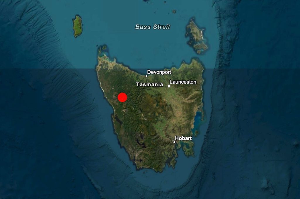
Scotts Peak Dam, the warmest location in the state, has now claimed the record for the highest temperature of the year – registering 31.8°C at 4:01pm.
The State Emergency Service says the warm weather won’t last long though, with potential thunderstorms and strong winds heading for the state from tomorrow.

“Tasmanians please be prepared, we’re in for all seasons in the next few days. It’s going to be warm, then wet, then windy,” the SES say.
“Tomorrow (Wednesday) a band of tropical rain is forecast to cross Tasmania with thunderstorms likely statewide. Severe thunderstorms, with potential to produce heavy rainfall that may lead to flash flooding is likely across Northern Tasmania, including Launceston.”

“Thursday will see a low pressure system pass through the South of Tasmania with the potential for damaging westerly winds with gusts around 100km/h possible.”
People are advised to secure outdoor items, including furniture and play equipment, ahead of time and to be prepared in case of power outages.
“Tasmania SES is preparing for the weather and we encourage the community to do the same.”
Wednesday Forecast: BOM
Hobart
Low of 18, High of 23. Cloudy. Very high chance of showers. The chance of a thunderstorm in the afternoon and early evening. Winds northerly 15 to 25 km/h shifting west to southwesterly 15 to 20 km/h in the evening then becoming light in the late evening.
Launceston
Low of 18, High of 23. Cloudy. Very high chance of rain, most likely in the morning and afternoon. The chance of a thunderstorm in the morning and early afternoon, possibly severe with possible heavy falls. Light winds becoming northerly 25 to 40 km/h in the morning then tending northwesterly in the evening.
Devonport/Burnie
Low of 17, High of 22. Cloudy. Very high chance of rain, most likely in the morning and early afternoon. The chance of a thunderstorm in the morning, possibly severe with possible heavy falls. Winds easterly 15 to 20 km/h shifting northwesterly 30 to 45 km/h in the middle of the day.
St Helens
Low of 18, High of 23. Cloudy. Very high chance of showers, most likely in the morning and afternoon. The chance of a thunderstorm in the afternoon, possibly severe. Winds northerly 20 to 30 km/h tending northwesterly 15 to 25 km/h in the evening.
Queenstown
Low of 15, High of 20. Cloudy. Very high chance of showers, most likely in the morning and afternoon. The chance of a thunderstorm in the early morning. Winds northwest to northeasterly 20 to 30 km/h tending west to northwesterly 15 to 20 km/h in the morning then tending north to northwesterly in the evening.