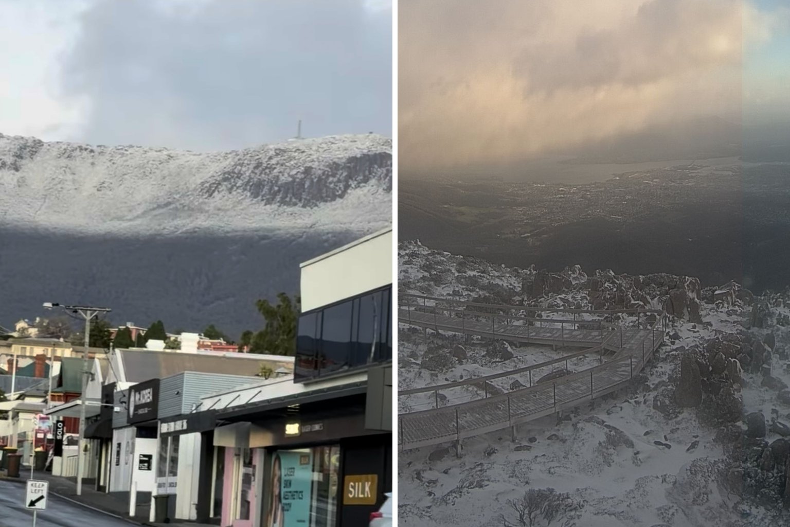
Snow has fallen across Tasmania’s peaks overnight, with the temperature on Kunanyi/Mount Wellington dropping below minus four degrees as a cold front crossed the state.
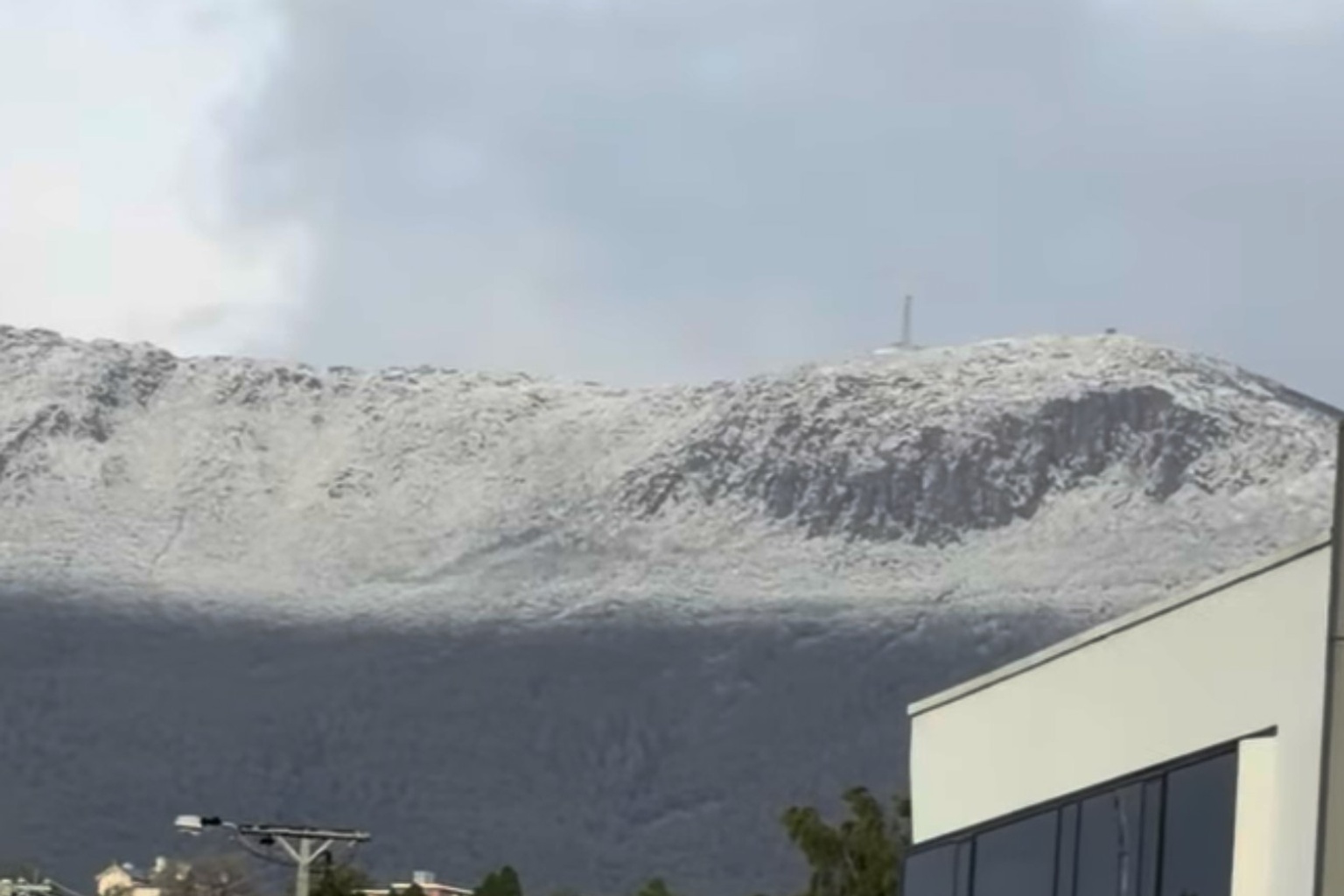
The mountain above Hobart was covered in snow.
Weather station data shows the summit reached a low of minus 4.1 degrees at 6:13am. With the wind, it felt like minus 9.7 degrees.
Other elevated areas also stayed below zero.
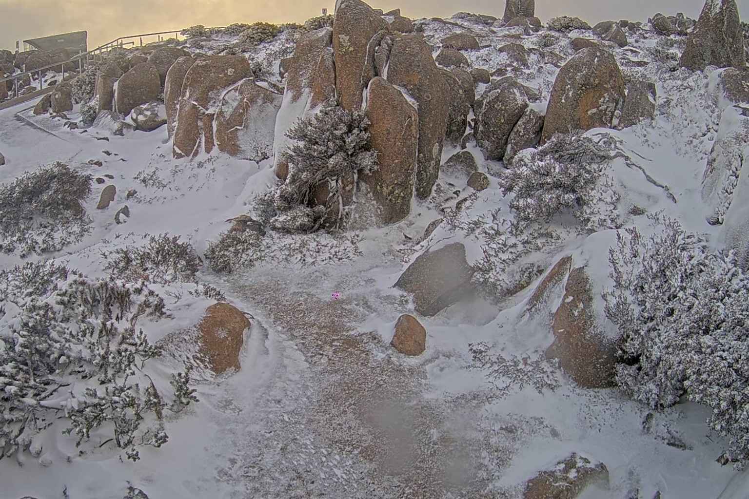
Liawenee on the Central Plateau recorded a low of minus 2.1 degrees, Mount Read on the West Coast dipped to minus 1.8 and Hartz Mountain fell to minus 1.2.
The coldest apparent temperature was at Dove River, in the state’s west, where it felt like minus 14.2 degrees at 6:30am.
Strong winds hit exposed parts of the state overnight.
A gust of 133km/h was recorded on Maatsuyker Island, off the south coast, at 2:55am and Scotts Peak in the south-west had a gust of 100km/h.
Parts of the west also had heavy falls. Warra recorded 27.8mm of rain since 9am on Monday and Butlers Gorge recorded 23mm.
At lower levels, Hobart was 6.3 degrees at 6:50am, while Launceston Airport was 4.5 degrees.
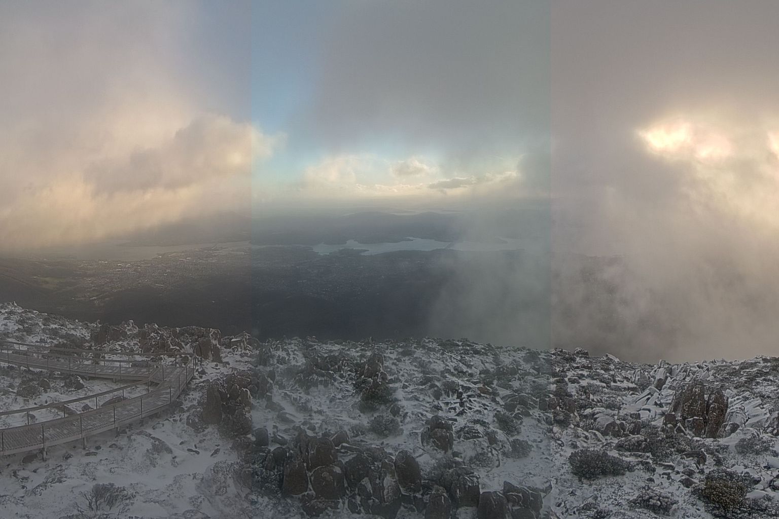
The snow level is expected to rise above 700 metres later today, with showers mainly in the west by the evening.
On Wednesday, light showers are forecast for the west and far south, with snow above 800 metres in the morning.
A high pressure system is expected to move over the state on Thursday, with fine weather after frost in inland areas.
Warm, mostly sunny conditions are forecast for the south and east by Sunday, with maximums of 26 degrees for Huonville, Ouse and New Norfolk.