Tasmania is bracing for flooding from abnormally high tides and rising rivers, with emergency authorities issuing warnings for communities stretching from Hobart to the east coast and the Derwent Valley.
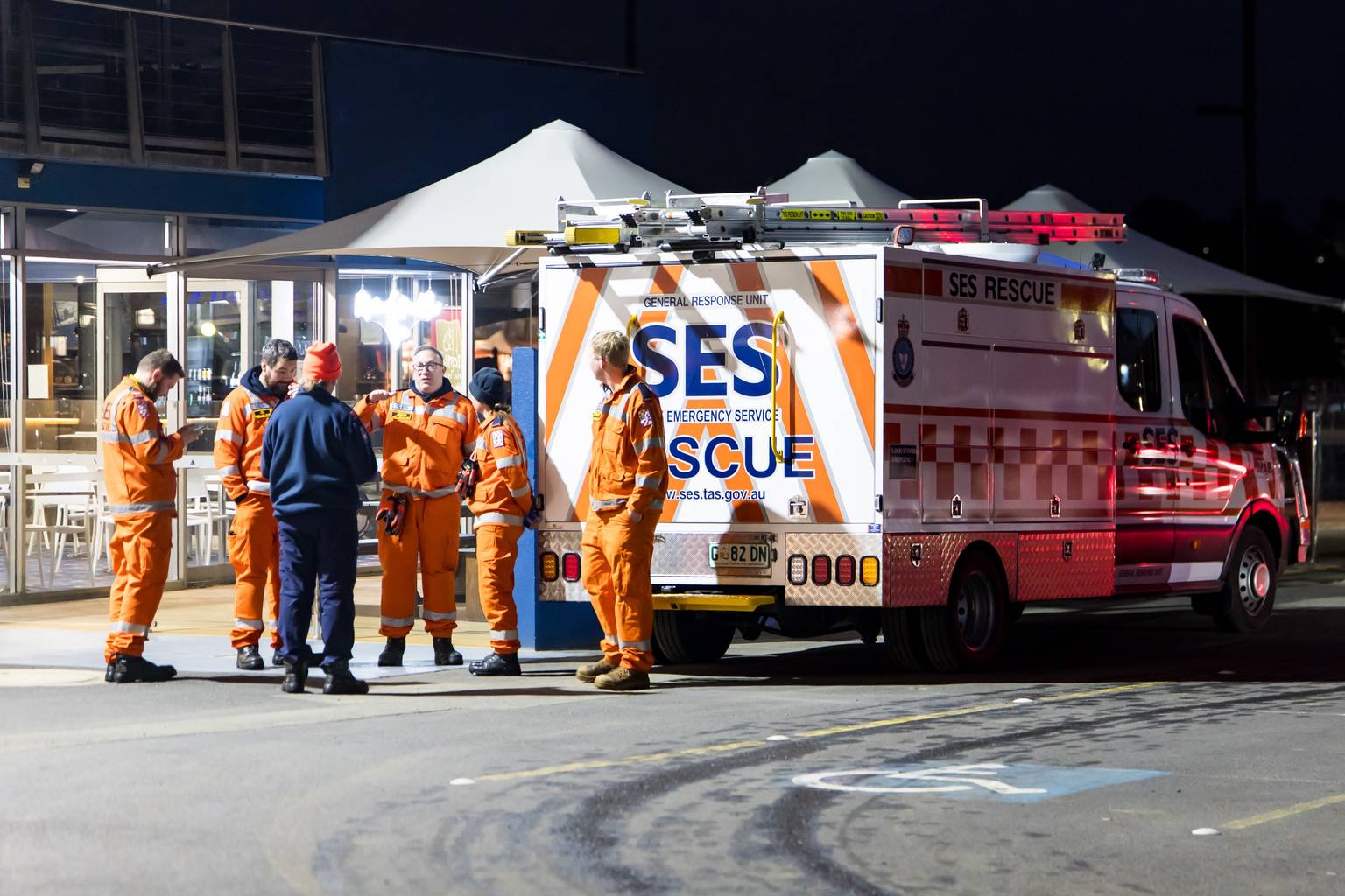
The Tasmania SES has issued flood advice for low-lying areas around New Norfolk, warning that flooding in nearby streams and rivers is likely over the next 12 hours.
Some properties may become isolated and flood waters could threaten livestock, equipment and crops, the SES said.
A separate warning covers a large stretch of the state’s south-east and east coast, where abnormally high tides are expected to push sea and river water above normal levels over the next 24 hours.
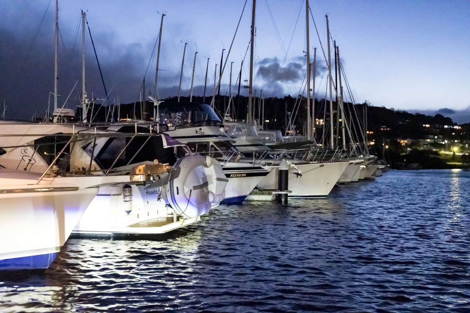
Low-lying areas around Hobart, Bruny Island, Clifton Beach, Huonville, Geeveston, Dover, Southport, Dodges Ferry, Maria Island, Orford, Triabunna, Eaglehawk Neck, Port Arthur and Lauderdale are all likely to be affected.
The Bureau of Meteorology has warned the high tide on Monday evening is “expected to be about as high” as the one on June 24, 2025 and that “similar inundation impacts are possible”.
That event submerged South Arm Road at Lauderdale, put a jetty on Hobart’s eastern shore underwater and flooded waterfront car parks at Sandy Bay and Margate.
The Esplanade at Huonville was also closed during the June tide.
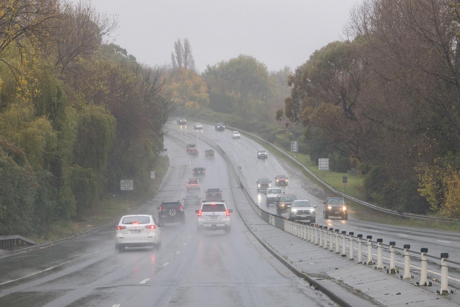
Roads in coastal areas may become impassable and driving conditions are expected to be dangerous.
The SES is urging residents to monitor conditions, prepare for possible isolation and ensure they have essential supplies.
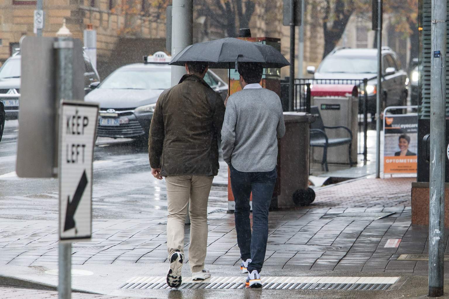
People in affected areas are being told never to walk, ride or drive through flood waters.
The flooding threat comes as cold and blustery weather sweeps across the state, with strong westerly winds and showers hitting much of Tasmania.
The bureau has also issued a severe weather warning for damaging winds across King Island, the Furneaux Islands and parts of the west and north-west.
Winds averaging 60 to 70km/h with gusts above 110km/h are forecast for the south-west on Monday morning before easing later in the evening.