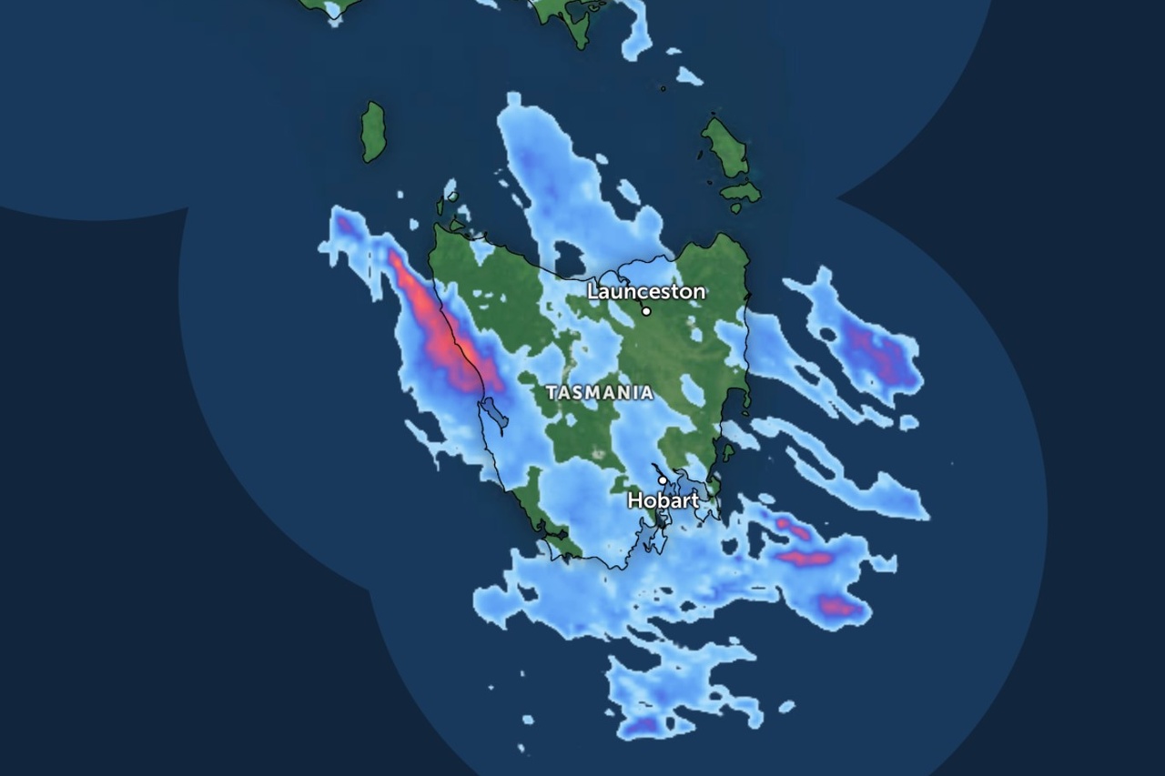
Tasmania is in for showers, strong winds and snow over the next two days as a low-pressure system moves south over the state.
The Bureau of Meteorology says the low was sitting over Victoria this morning and will broaden and move south over Tasmania during the day, before shifting east on Wednesday morning.
Showers were developing across much of the state this morning, turning to rain in the north and east before reaching the west and south by late afternoon and evening.
Snow is forecast above 1,300 metres on the Central Plateau, with the chance of falls down to 1,100 metres on Wednesday.
A strong wind warning is in place for Wednesday for several coastal waters, including Frederick Henry Bay, Norfolk Bay, Storm Bay and the Channel.

Showers should ease and contract to the west and far south on Wednesday afternoon before clearing in the evening.
Another cold front is expected to approach the south-west late on Thursday and cross the state on Friday, bringing another round of showers.