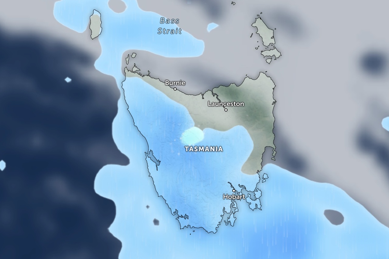
Snow and small hail are on the way for parts of Tasmania as a cold front crosses the state this evening.
The Bureau of Meteorology says the day will be mostly fine until showers develop about the west during the afternoon, before spreading to central and southern parts in the early evening.
Snow is expected to fall above 700 metres late in the day.
Kunanyi/Mount Wellington will have snow showers with a top of seven degrees, while Mount Field will have showers or snow.
At Liawenee on the Central Plateau, late showers or snow are expected.

Small hail is also possible in several districts as the front moves through, mainly in the west and south during the evening.
The Central Plateau, western, upper Derwent Valley and south-east districts are all flagged for possible small hail, along with Smithton, Strahan and Queenstown.
Queenstown will be wet, with a 100% chance of rain. Strahan and Lake St Clair will both have a very high chance of showers.
West to north-westerly winds will turn south-westerly late and become fresh and gusty about elevated areas and exposed coasts.
Patchy inland frost and possible fog are also expected for central and north-eastern parts this morning.
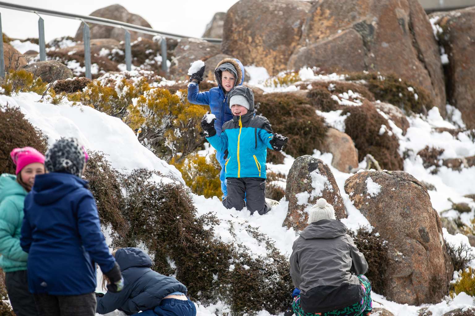
Unsettled conditions will continue into Wednesday, when snow could fall as low as 500 metres in the south before lifting above 1,000 metres in the afternoon.
Conditions will ease from Thursday, with mostly fine weather returning and a sunny, frosty Friday to end the week.