A cold front is forecast to cross Tasmania tomorrow, bringing showers across the state, snow to higher ground and possible small hail.
The Bureau of Meteorology said showers would begin in the west, then extend statewide from late morning before easing during the evening.
The bureau is forecasting “fresh and gusty” northwesterly winds turning southwesterly throughout the day.
Snow is expected above 800 metres in the south-east and above 700 metres in the West.
On Kunanyi/Mount Wellington, the bureau is forecasting “showers or snow” and very windy conditions, with a maximum of five degrees.
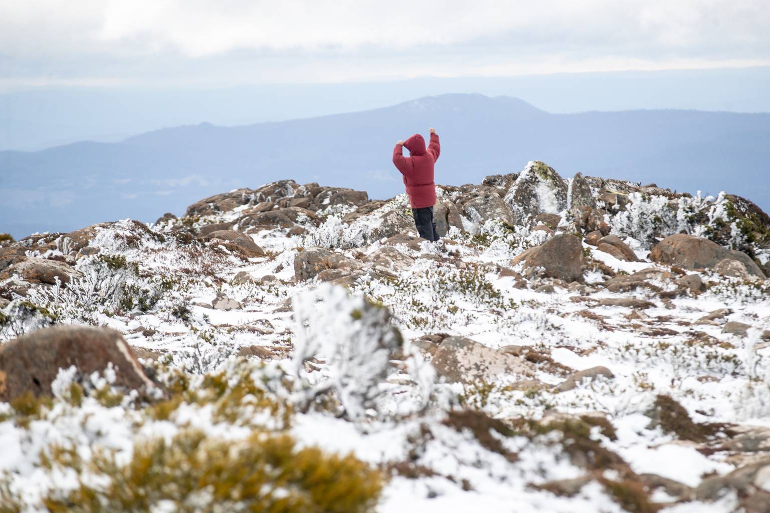
Ben Lomond and Mount Field are also expected to reach five degrees and Cradle Valley six degrees.
The heaviest falls are forecast for the west of the state.
Queenstown and Lake St Clair could receive between 10-25mm and Strahan and Mount Field between 7-20mm. In the south, Huonville could receive between 4-15mm.
Small hail is possible in western areas and the south-east in the afternoon.
Northwesterly winds of 35 to 50km/h are forecast for the West before they turn southwesterly in the early afternoon.
Conditions today are expected to be mostly fine across the state, with light showers in the west and patchy morning fog in the north-east.
High pressure is forecast to move over Tasmania from the west on Wednesday, bringing mostly fine conditions and patchy morning frost.
Overnight temperatures are forecast to fall to minus five degrees on Ben Lomond and minus three degrees at Liawenee and on kunanyi/Mount Wellington.
Temperatures are expected to rise later in the week. The bureau is forecasting mostly sunny conditions on Thursday, with maximums of 17 to 22 degrees in the south-east and 23 degrees at Huonville.
On Friday, maximums of 25 degrees are forecast for New Norfolk and Huonville and 26 degrees for Ouse.
Showers are forecast to return on Saturday, with a 70% to 90% chance of rain in many areas.