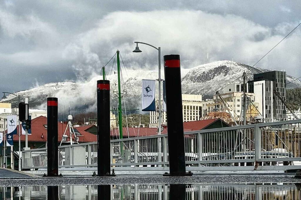
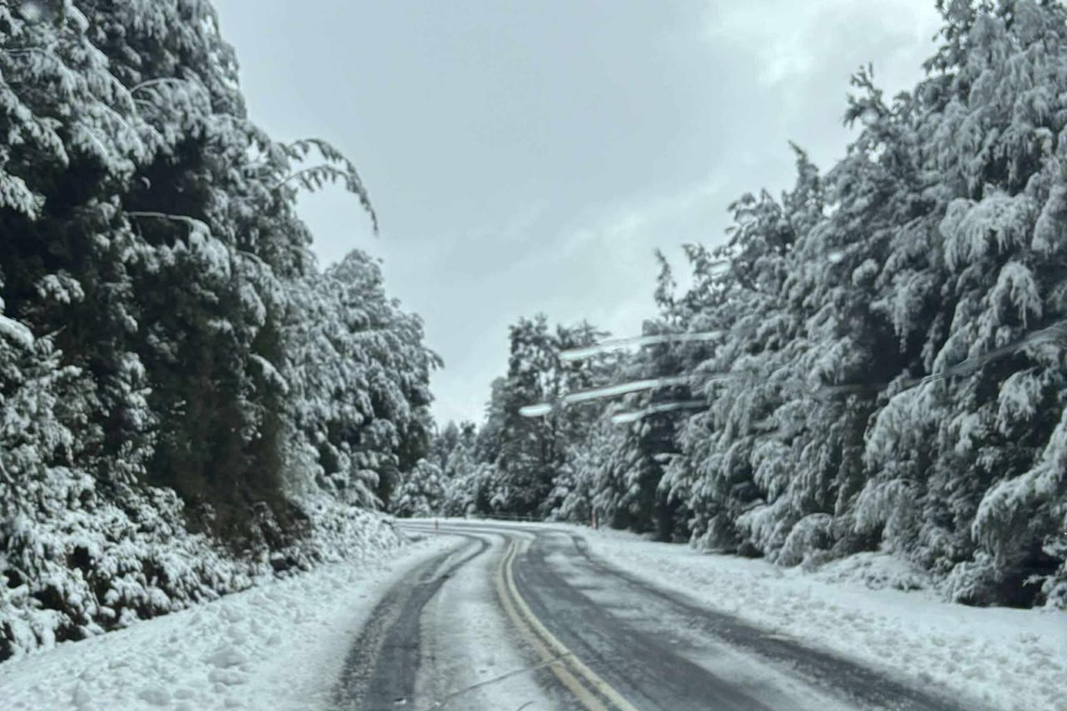
Tasmania’s mountain peaks woke to a fresh coating of snow this morning, with Hobart’s kunanyi/Mt Wellington receiving a light dusting before rain swept into the city.
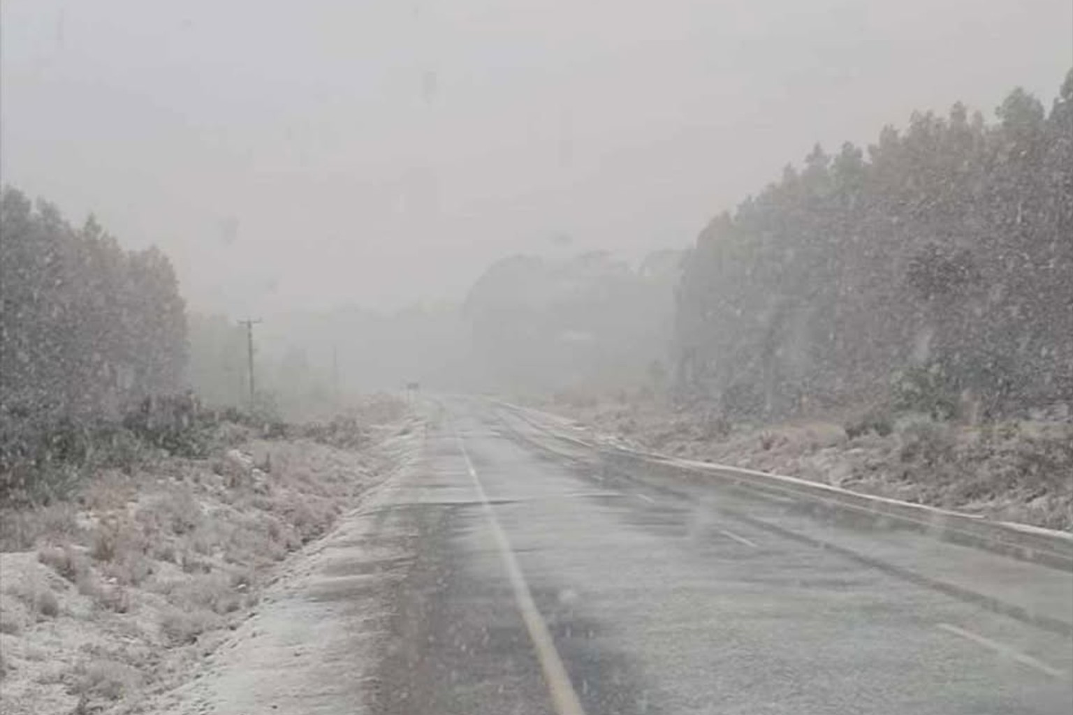
The Bureau of Meteorology confirmed the expected snowfall had arrived, with flakes settling across higher areas including Mt Wellington, Hartz Mountain, Mount Field, Cradle Mountain and the Great Lake.
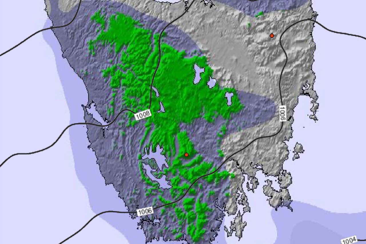
“A westerly airstream shifts southwesterly during Thursday morning as a cold front crosses the state,” the Bureau said in its latest forecast.
Snow fell to around 700 metres this morning and is expected to drop to about 300 metres by evening in the west.
The Bureau has issued a bushwalkers’ weather alert for western and central plateau districts, warning of hazardous conditions.
Showers will affect western, central and southern districts plus Bass Strait islands throughout Thursday, before contracting westward by evening.
“A high pressure system is expected to approach from the west on Friday morning and cross Tasmania during Friday afternoon and evening,” the bureau stated.
Showers should clear during the day, leaving fine conditions elsewhere after a frosty start inland.
Saturday is shaping up as the pick of the week, with clear skies after morning frost and light northerly winds.
But the reprieve will be short-lived. Showers return to the west on Sunday before spreading statewide, bringing possible thunderstorms in the north-west and strong, gusty north to north-westerly winds.
The brief warm spell matches earlier forecasts of a short spring preview before winter-like conditions return next week.