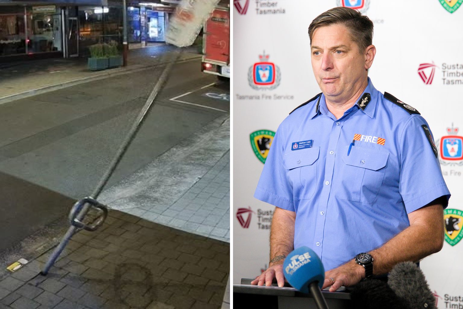
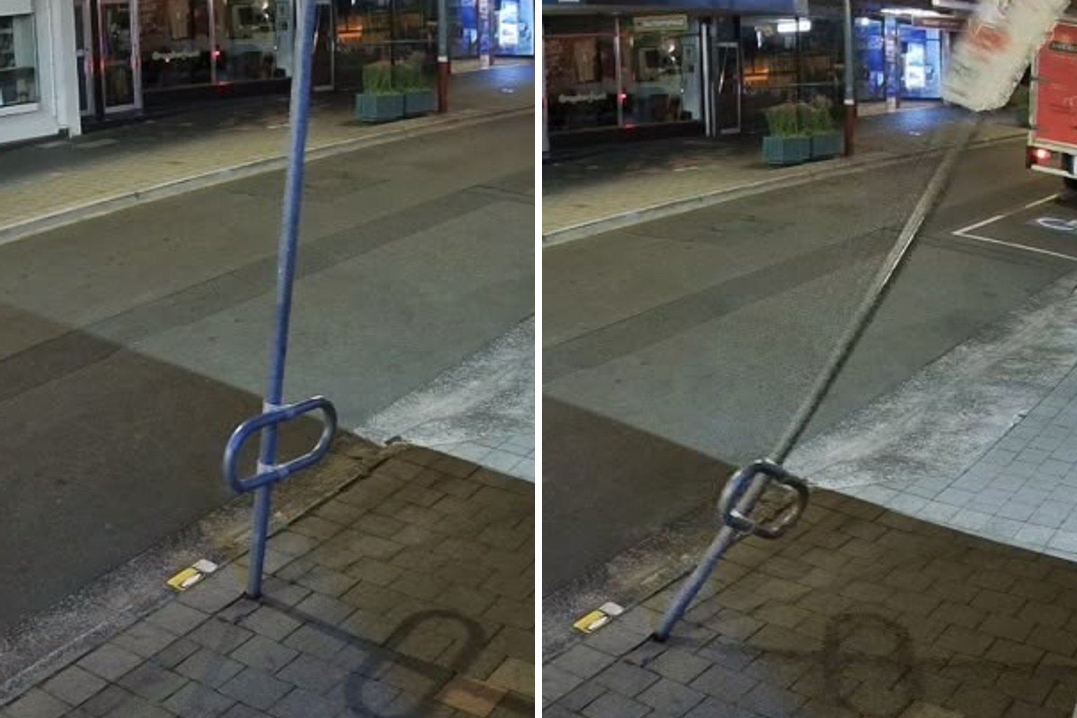
Wild winds tore through Tasmania overnight, with a gust strong enough to knock over a street pole in the middle of Hobart’s CBD.
The pole came down on Criterion Street shortly before 4:30am, caught on CCTV outside the Pulse Tasmania newsroom.
The state’s south copped the worst of it.
Kunanyi/Mount Wellington recorded a 137km/h gust at 5am, the strongest in Tasmania.
Hobart and Hobart Airport both hit 87km/h, matching Liawenee, Scotts Peak and Larapuna (Eddystone Point).
Hogan Island reached 113km/h, Maatsuyker Island 102km/h and the Hartz Mountains 100km/h.
The Bureau of Meteorology said a high to the north of the state combined with a cold front passing to the south to drive a vigorous westerly flow across Tasmania.
A weak ridge is expected to move over the state this afternoon and evening, before another cold front crosses on Sunday evening.
Between the two bursts of weather comes a brief warm spell.
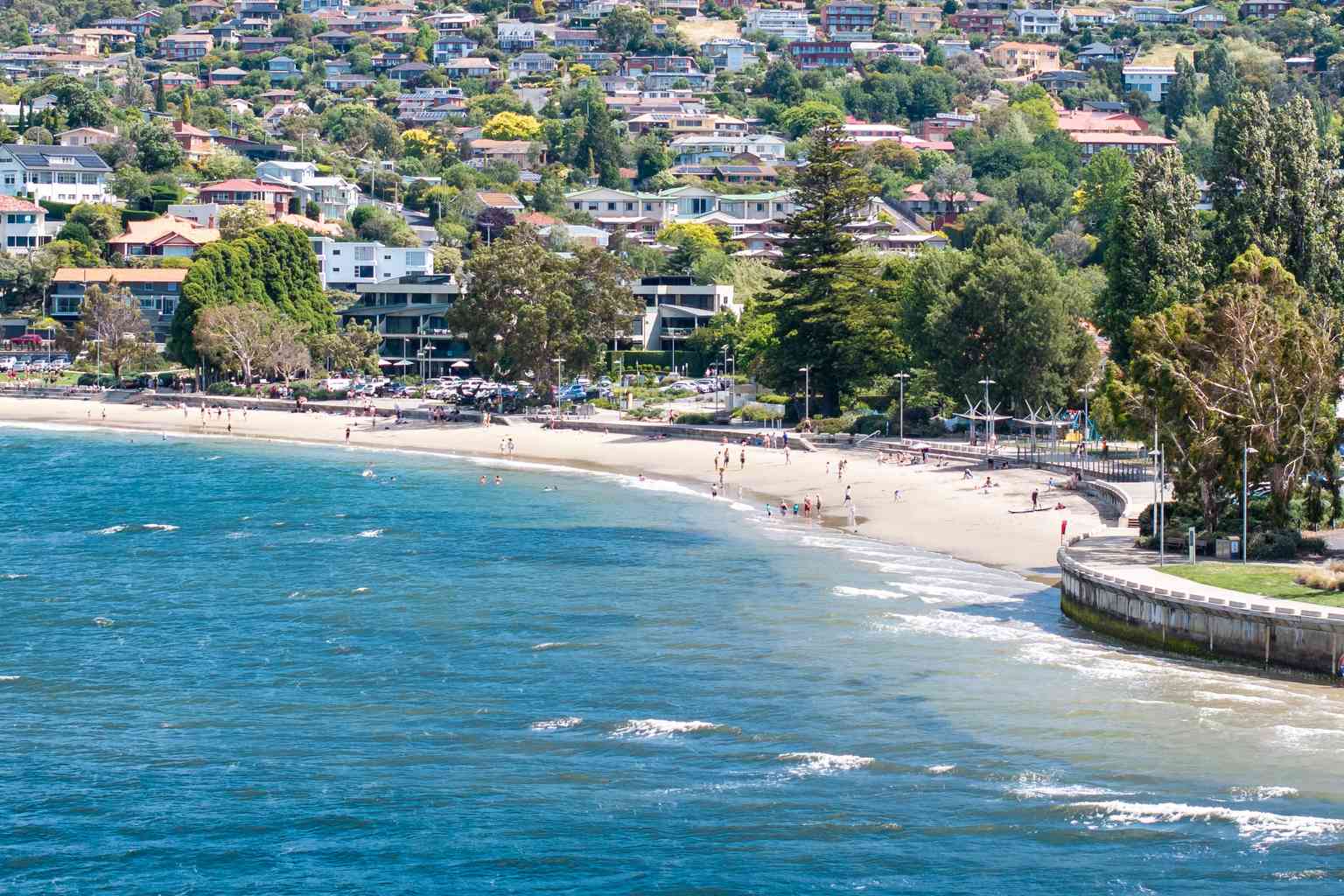
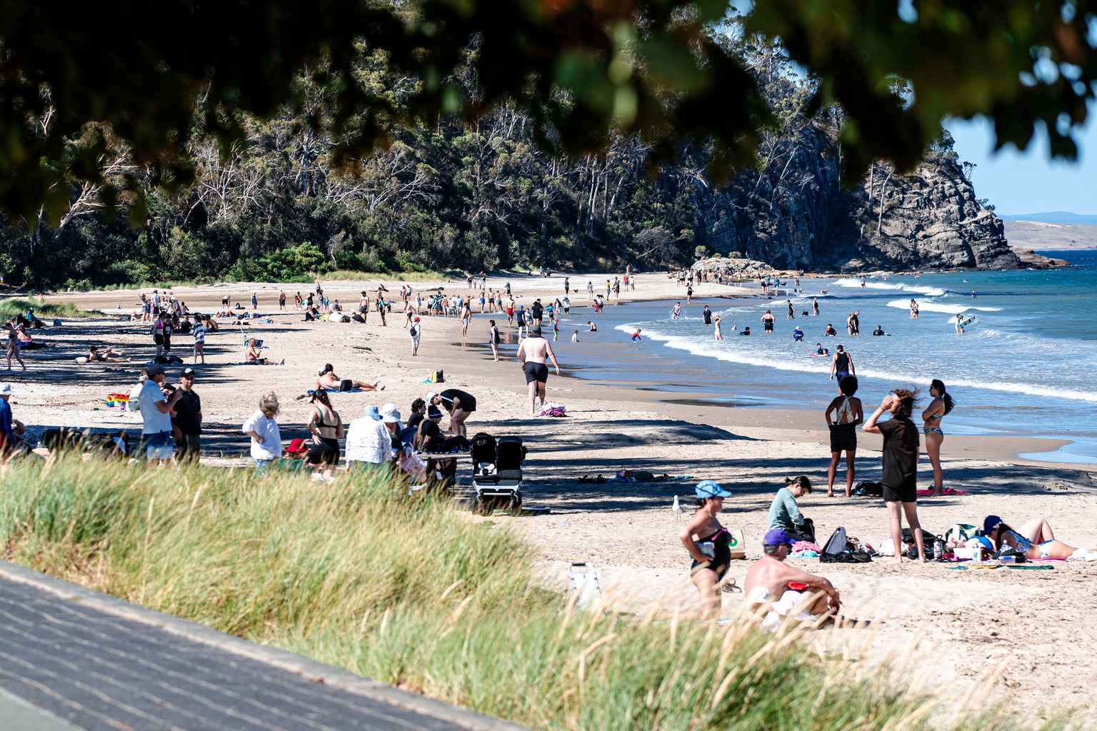
Hobart, Campania and Richmond are all forecast to reach 27 degrees on Sunday, well above the September average.
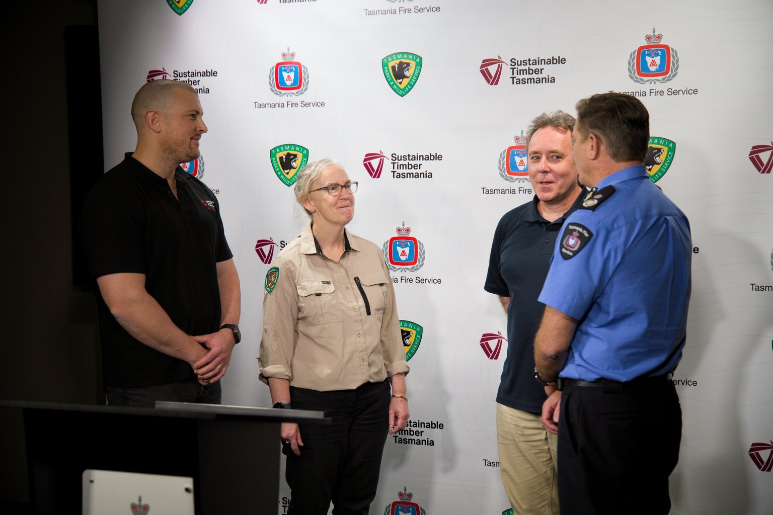
That has prompted a warning from the Tasmania Fire Service, with a high fire danger rating forecast across much of the state.
The fire permit period has not started, but TFS deputy chief officer Matt Lowe is asking people to hold off on registered burns.
“Strong winds and dry conditions mean fires can start easily and spread quickly,” he said.
Lowe said people should check campfires, burn-offs and firepits lit in recent weeks are fully out, with the best approach being to “soak it, stir it and soak it again”.
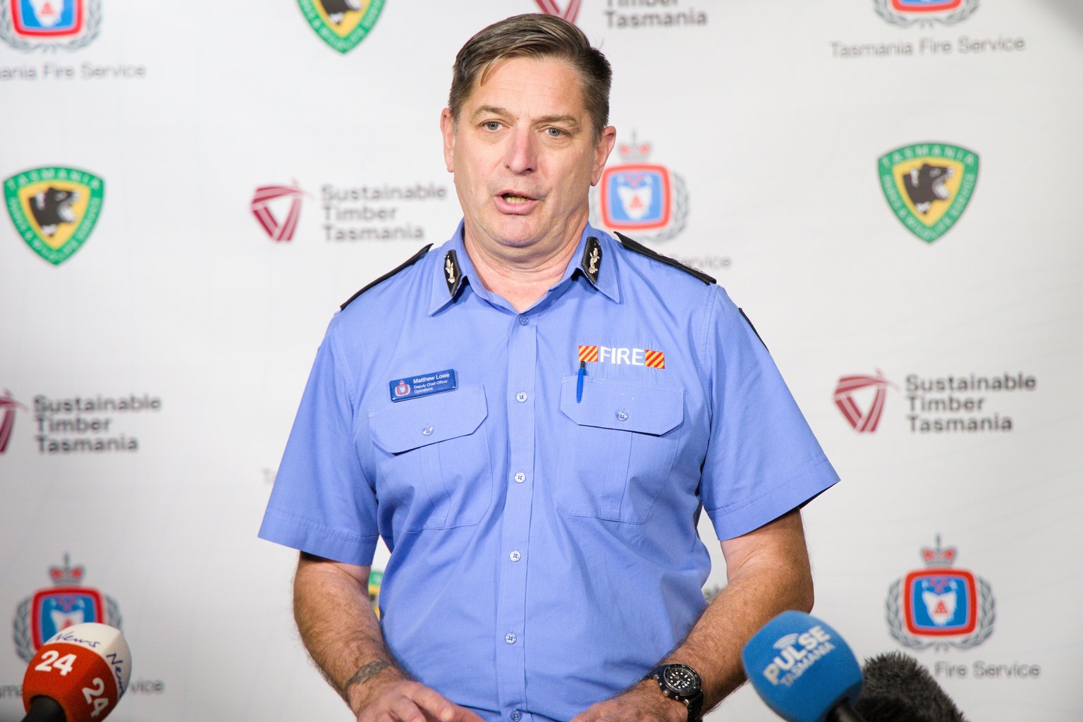
Extra crews and firefighting aircraft will be on standby on Sunday, including a regional operations centre at Cambridge.
Bureau of Meteorology forecaster Matthew Thomas said the high fire danger is a “combination” of “the hot, the dry and the windy conditions”.
“These spike fire days do occur in Tasmania … we only would normally get one or two each year,” he said.
Colder air follows on Monday, with Hobart’s top dropping to around 14 degrees and snow expected down to 400 metres in the south.
Lowe said anyone who sees smoke or flames should call Triple Zero immediately.