Thunderstorms and destructive winds are set to smash most of Tasmania tonight, as the Bureau of Meteorology and SES urge residents to prepare.
The storm is predicted to bring powerful wind gusts of over 124km/h, along with showers and thunderstorms to the western and southern regions, especially along the coasts.
Senior Meteorologist Brooke Oakley said two bursts of damaging winds will hit the state tomorrow.
The first burst is anticipated to occur between midnight and 8am, followed by an “even stronger” one from 3pm to 8pm.
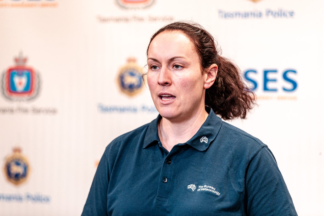
Oakley said the destructive winds will be “most likely during the morning about the exposed West Coast” and will spread across the rest of the state from late afternoon.
Damaging wind gusts are classified as over 100km/h and destructive wind gusts are over 124km/h.

The BOM are also warning of “abnormally high tides” for parts of the southeast and west coasts on Monday.
Inundation risk periods are between 10am and 1pm around Macquarie Harbour, including Strahan and between 4pm and 7pm along the eastern shores of Huon River, River Derwent and Great Bay.
Locations at risk include Strahan, Huonville, South Arm, Lauderdale and The Neck on Bruny Island.
SES Assistant Director Leon Smith said crews responded to a number of calls of trees down across the state on Saturday night.

“It’s not an exact science in regard to the location of the winds and this severe weather warning does relate to the entire state,” Smith said.
“What Tasmanians need to be aware of is that there will be sort of channelling of potentially destructive winds down lower than that normally occurs at attitude within the state at the higher peaks.”
He warned drivers to be cautious on the roads and reminded residents to remain vigilant as the fronts pass the state.