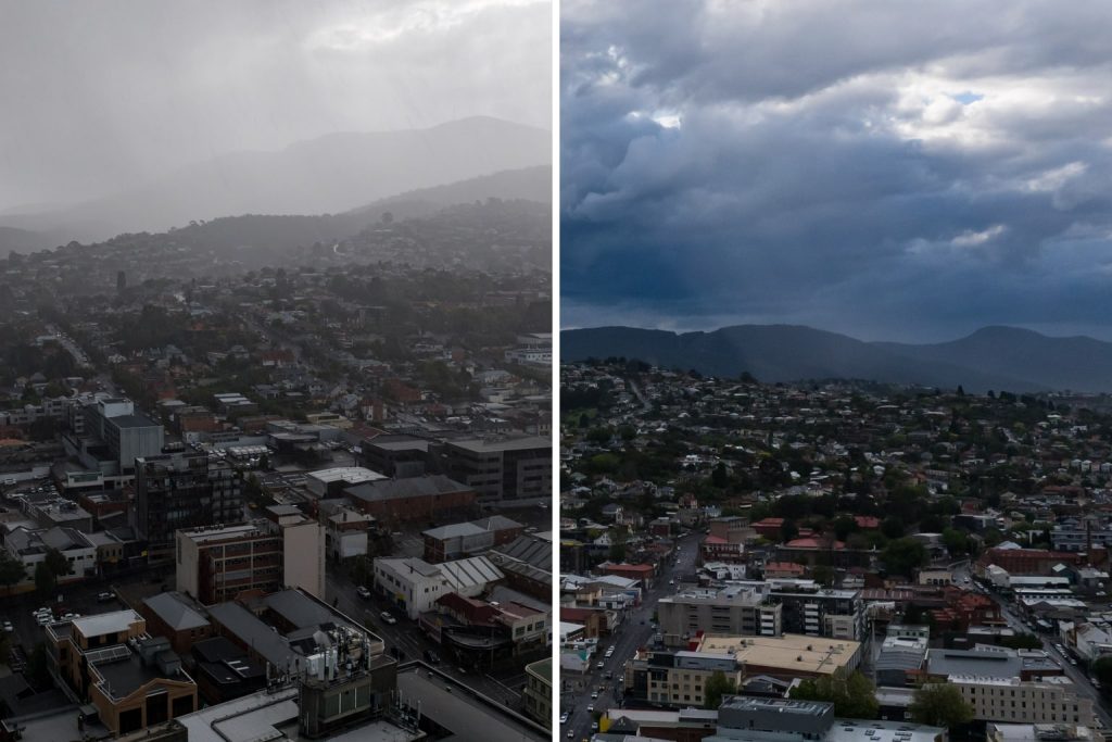
Tasmanian firefighters are warning that the worst bushfire danger is yet to come following yesterday’s scorching weather.
The Bureau of Meteorology’s Luke Johnston says most districts in Tasmania will experience high fire danger on Sunday – and that it will be the highest-rated fire weather day so far this season.
Elevated fire dangers are expected for the next several days, particularly in the upper Derwent Valley.

Southern Tasmania is expected to be 10°C to 15°C cooler today, but it will be much windier, which officials say can turn disastrous quickly.
The Tasmania Fire Service has made preparations with incident management teams on standby until Tuesday, with SES and Tasmania Police also ready.
Temperatures peaked upwards of 36°C at Scotts Peak yesterday, with Hobart hitting a top of 32°C.
|
District |
Sunday Advertisement |
Monday |
|
King Island |
High 26 |
Moderate 20 Advertisement |
|
Furneaux Islands |
High 26 |
High 26 |
|
North West Coast Advertisement |
High 26 |
Moderate 21 |
|
Central North |
High 31 |
High 25 |
|
North East Advertisement |
Moderate 23 |
Moderate 22 |
|
East Coast |
High 25 |
Moderate 18 |
|
Midlands Advertisement |
High 24 |
Moderate 20 |
|
Upper Derwent Valley |
High 30 |
High 30 |
|
South East |
High 31 |
Moderate 23 |
|
Central Plateau |
High 24 |
Moderate 23 |
|
Western |
High 28 |
Moderate 20 |
Fire data issued at 4:00PM on Saturday 14 January 2023. Latest data here.