Hobart is on track for a record run of warm October days, with a severe heatwave set to push temperatures across parts of Tasmania to 30 degrees.
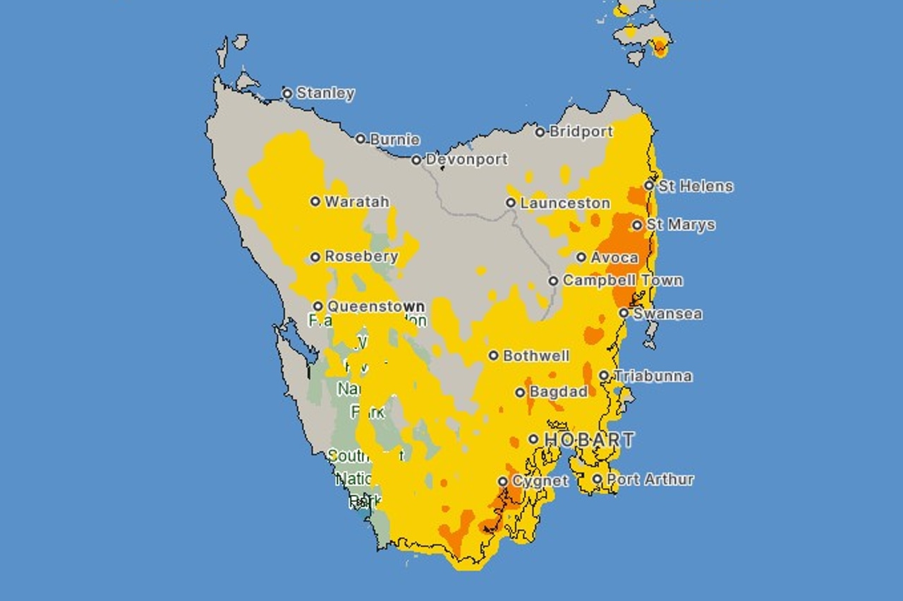
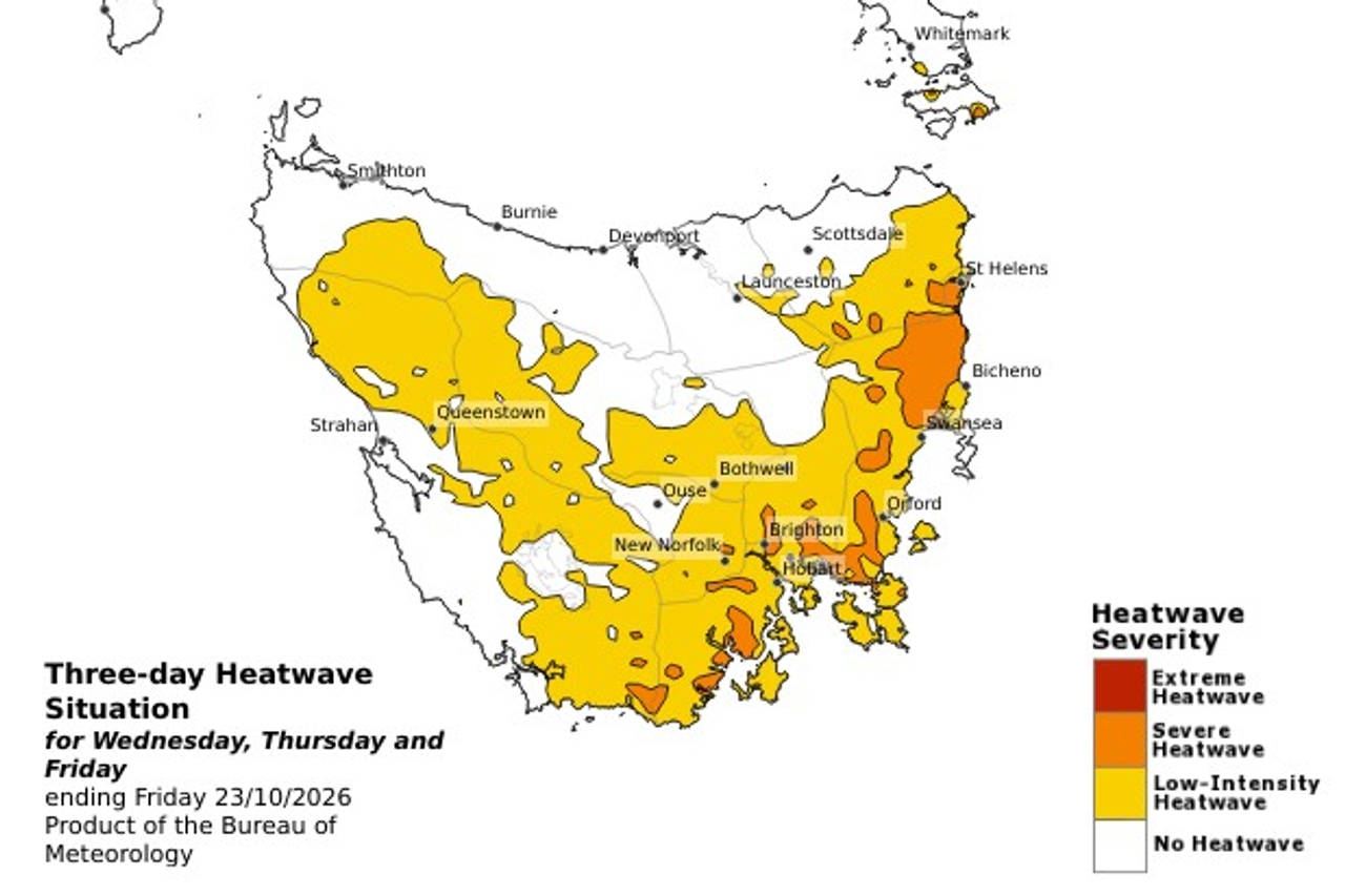
The Bureau of Meteorology issued a severe heatwave warning for the east coast and south-east just after 2pm on Wednesday.
Temperatures in the mid-20s to around 30 degrees are expected to peak on Thursday and Friday, with Cygnet and Fingal among the towns likely to be affected.
Nights will offer little relief, with minimum temperatures around 10 degrees and in the low teens in some areas.
In Hobart, the temperature is not expected to fall below 17 degrees overnight into Friday.
The capital reached 30.4 degrees on Tuesday, its hottest October day in nine years.
It is forecast to hit 30 degrees again on Thursday and 29 degrees on Friday, well above the city’s October average maximum of 17 degrees.
Weatherzone meteorologist Ben Domensino wrote that Hobart would “continue to feel this summer-like warmth until Friday”.
According to Weatherzone, another 30-degree day would make this only the third October in 145 years of records to have two days that hot in Hobart. A third would set a new record.
The city is also on track to break its record for consecutive October days of 20 degrees or more, with the run likely to reach eight days by Friday.
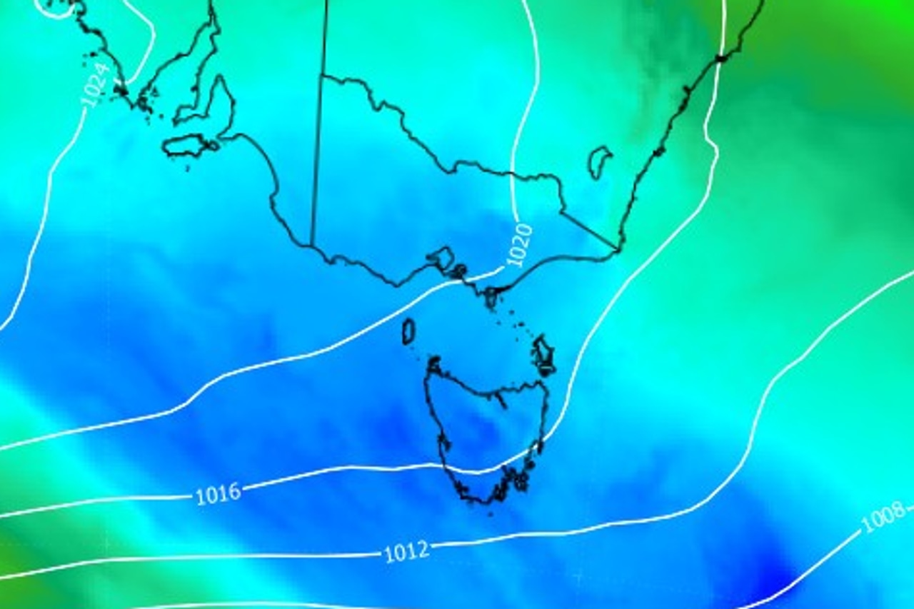
The heat is being driven by a high-pressure system parked over the Tasman Sea, pushing warm northerly winds across the state.
“Computer models predict that the centre of this system will only move by about 500 kilometres between Monday and Saturday,” Domensino said earlier this week.
The weather pattern has left Hobart warmer than Brisbane for days, despite the Queensland capital having an October average more than 10 degrees higher.
The bureau warns “severe heatwaves can be dangerous for many people”.
“… Especially older people, babies, children, pregnant and breastfeeding women, people with medical conditions and people who are unwell,” it warns.
But the heat is not expected to last, with Weatherzone saying forecast models suggest the heatwave will “end abruptly” this weekend.
Showers are expected to develop in Hobart on Friday afternoon before a cold front sweeps across the state, bringing more rain on Saturday.
Hobart’s top temperature is forecast to drop to 19 degrees on Saturday and 16 degrees on Sunday.
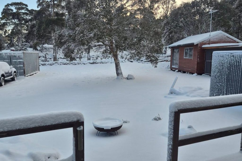
Snow is also possible on Kunanyi/Mount Wellington by Sunday.
Domensino said some models showed snow could settle on higher parts of central and western Tasmania “on Monday or Tuesday next week”.