Much of Tasmania is bracing for damaging winds from this evening, with gusts up to 100km/h forecast for parts of the southeast including Hobart.
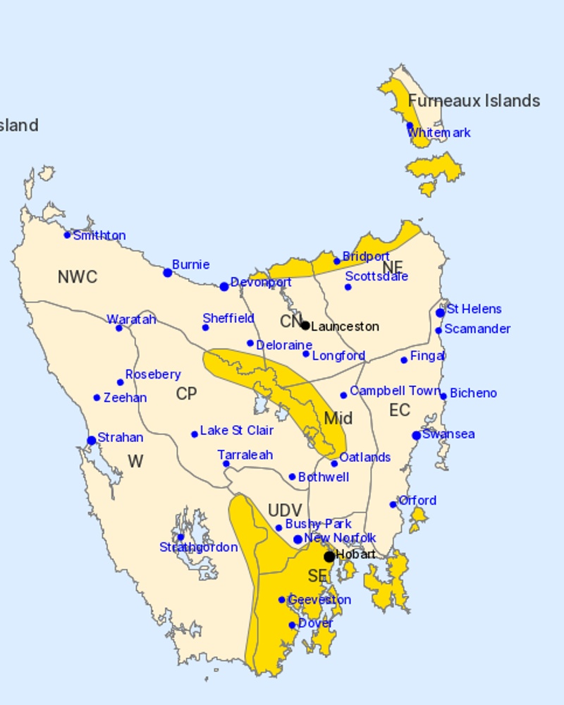
The Bureau of Meteorology issued a severe weather warning on Thursday covering the south-east, north-east coast, Furneaux Islands and the Western Tiers.
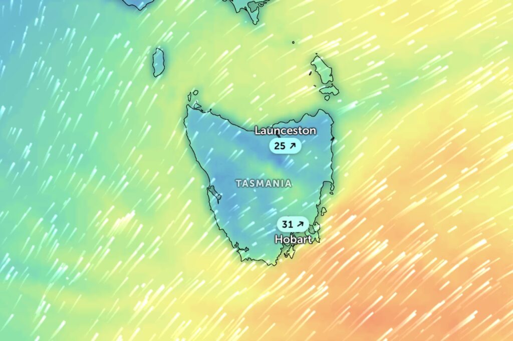
“A cold front will sweep across the state today, generating a vigorous westerly flow from this afternoon,” the bureau said.
For Hobart and surrounding areas, westerly winds averaging 60-70km/h are expected over higher terrain from early this evening, with gusts up to 100km/h in lower-lying areas.
The north-east coast and Furneaux Islands will be hit first, with gusts around 90km/h forecast for Thursday afternoon and evening.
The Tasman Peninsula and Maria Island face damaging southwesterly gusts around 100km/h from Friday morning.
The Western Tiers face the longest bout, with gusts around 100km/h expected from Friday afternoon into Saturday morning.
Winds should ease over the north-east later on Thursday evening and over Hobart by Friday morning.
The far southern coastline and islands remain exposed until Friday evening.
Hobart, Whitemark, Geeveston, Dover, Bridport and Huonville are among the towns likely to be affected.