A temperature record has been broken on Tasmania’s east coast, with unusually warm September nights set to give way to a sharp return to wintry weather.
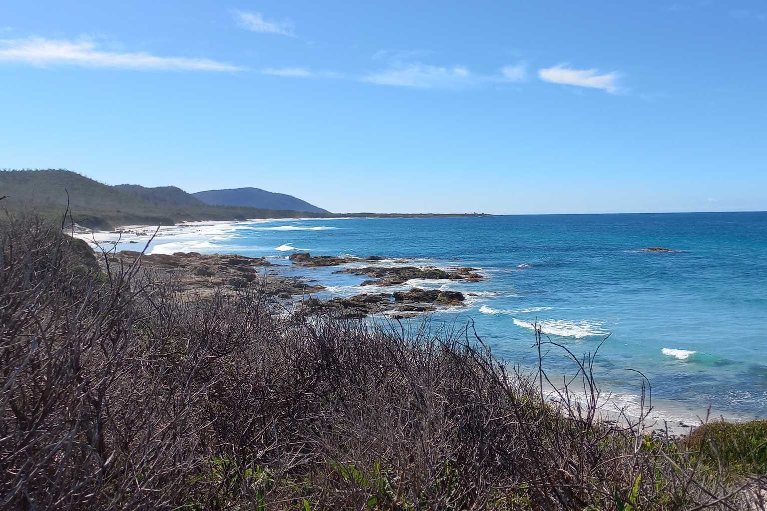
Overnight, Friendly Beaches recorded a minimum of 15.3 degrees, the highest daily minimum ever recorded there in September, beating the previous record of 15 degrees set on September 14, 2015.
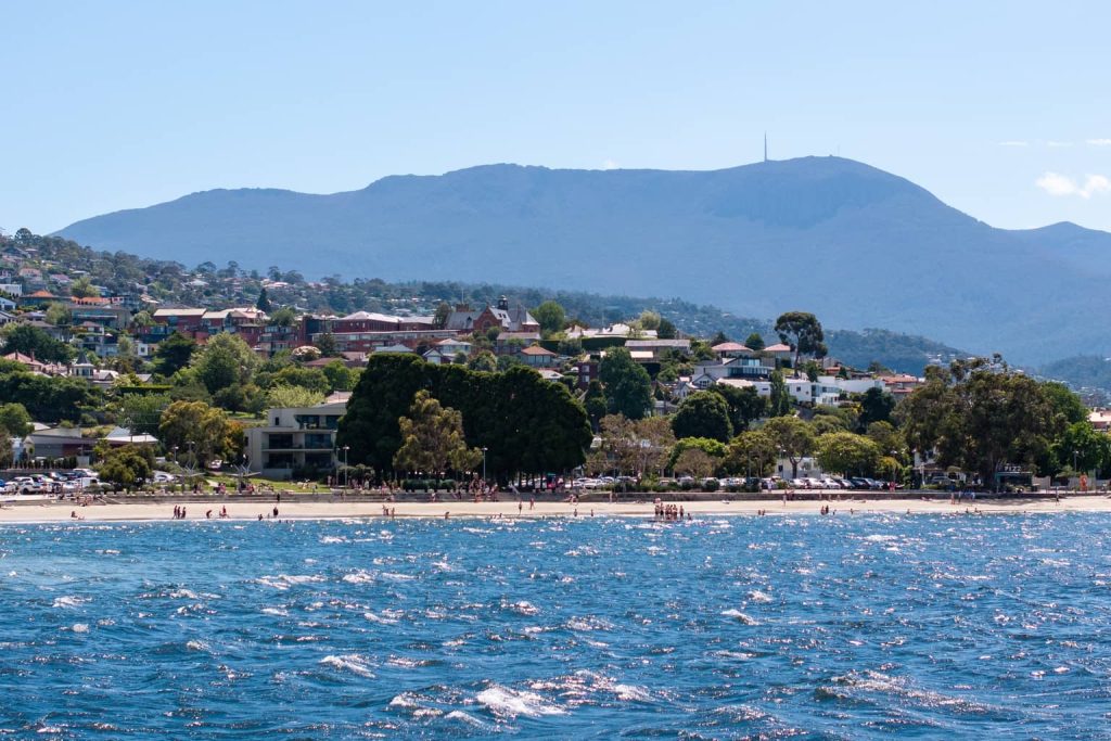
Hobart also had an unusually warm night, dropping to just 14.7 degrees – the city’s warmest night since the start of May and its warmest September night since 2021.
But the warm conditions will not last.

Bureau of Meteorology senior meteorologist Christie Johnston said a cold front is moving towards the state and will bring a dramatic change.
“We’ve got a front moving towards us, so at the moment it’s going to be above average temperatures across the state for many parts today, but it is pretty cloudy out in the west,” she told local radio.

The front is expected to reach the west late this afternoon or evening, with showers unlikely to hit Hobart and Launceston until tomorrow and the east coast not until Tuesday.
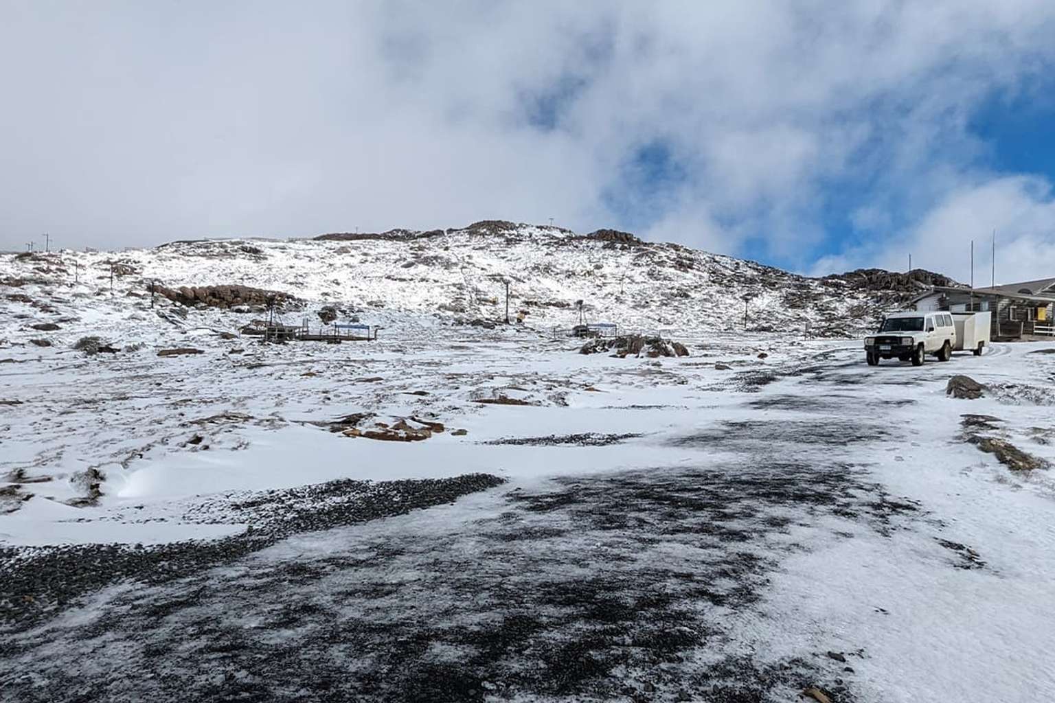
Johnston said snow levels will drop rapidly this evening, reaching 300 to 400 metres in the south and 600 to 700 metres in the north by early tomorrow morning.
The bureau has issued bushwalker and road weather alerts for snowy conditions.
“We’re looking at the potential for some small hail as well with the showers that come through tonight and tomorrow,” Johnston said.
Thunderstorms are also possible, particularly around the southwest and northeast tomorrow.
Rainfall totals today are expected to be in the single digits, but the West Coast could see 20 to 30 millimetres tomorrow with heavier falls on elevated peaks.
Johnston said the cold snap should ease later in the week, with Saturday shaping up as mild with temperatures reaching the high teens to low 20s.
Sunday will see showers return as the next system moves through.