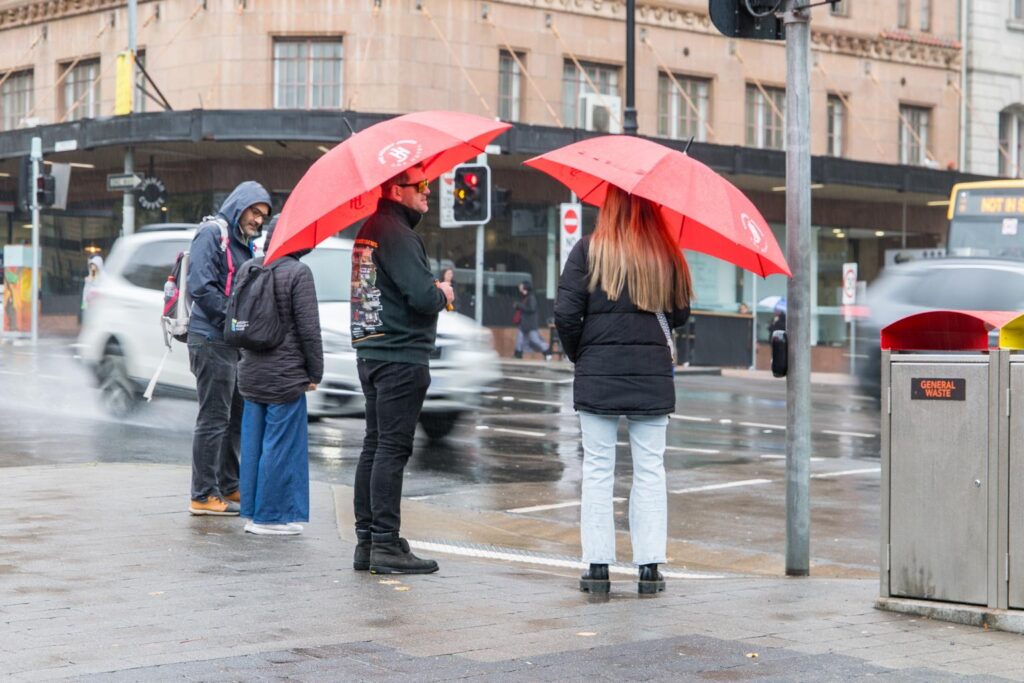
Much of the state is copping another drenching this week as a low pressure system sweeps across the state’s north, with more heavy rain on the way before a dry long weekend offers some relief.
As winter got off to a wet start, more than 50 millimetres of rain fell in parts of Tasmania in the 24 hours to 9am Tuesday.
A catchment near the Iris River recorded 53.8 millimetres and Lake Gairdner received 52.2 millimetres. Railton also recorded 47.2 millimetres.
That is on top of last week’s deluge which saw places like Gray, near St Marys record 222mm of rain in 24 hours.
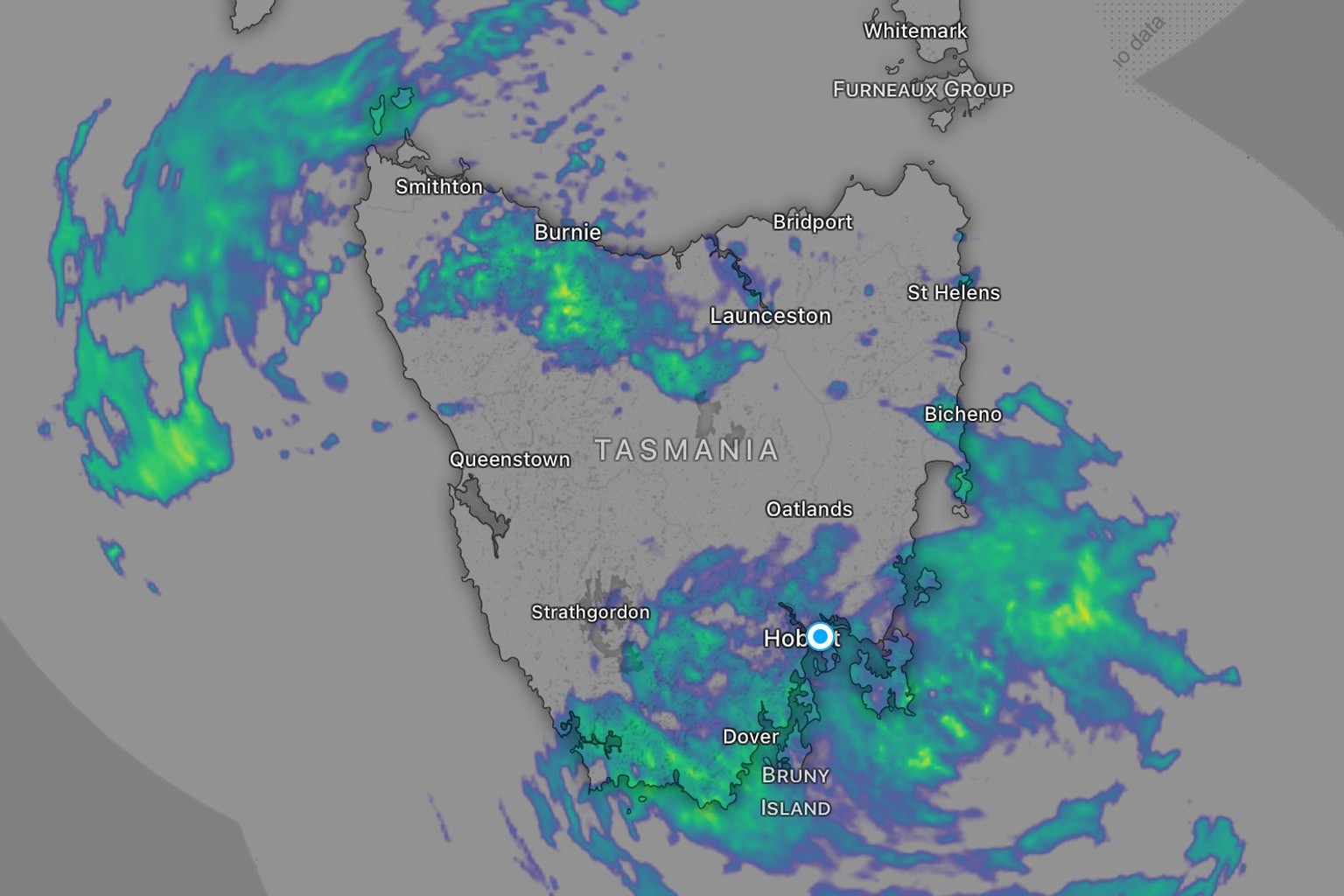
Bureau of Meteorology spokesperson Casey McCarthy said the system had moved across the southern part of Australia from Western Australia and was pushing a warm front through northern Tasmania.
“That’s usually a situation where we see some heavier rainfall totals in northern Tasmania,” he told Pulse.

McCarthy said temperatures across the state barely shifted between overnight lows and daytime highs due to the persistent rain and cloud cover.
As the low pressure system moves east, onshore winds will shift to target the state’s south-east on Wednesday.
Hobart could see falls of up to 25 millimetres on Wednesday and 30 millimetres on Thursday.
McCarthy said the type of system wasn’t unusual for winter but wasn’t the typical weather pattern either.

“What’s more typical would be your cold front moving through, showers in western Tasmania, the westerly flow sort of idea,” he said.
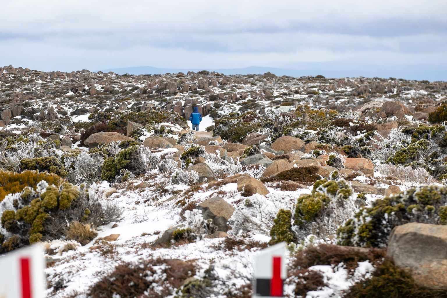
A cold front is expected to push through on Friday, bringing cooler temperatures and snow above around 1,000 metres on the central plateau.
But there is good news for the long weekend.
A high pressure system is forecast to move across south-eastern Australia and extend a ridge to Tasmania, bringing mostly sunny skies and a top of around 17 degrees in Hobart.
“It’s still several days away, but hopefully that stays in shape and doesn’t budge too much,” McCarthy said.