Snow, hail and frost are on the way for Tasmania this weekend, after a mild and cloudy end to the week.
The Bureau of Meteorology said a series of troughs and a weak cold front would cross the state over the weekend.
Showers will spread across Tasmania on Saturday. Hobart could get up to 15 millimetres and Bicheno, St Helens and St Marys up to 20mm.
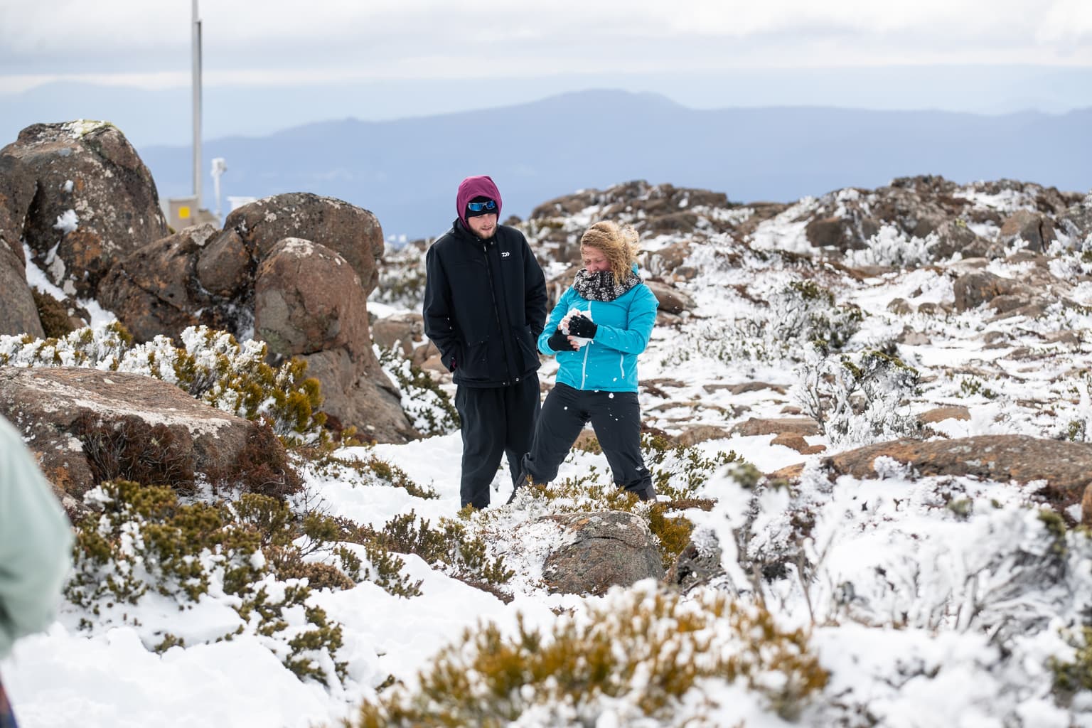
By Sunday, snow is forecast above 600 metres in the west, 700 metres in the south-east and 800 metres on the Central Plateau.
Small hail is possible in the south and on the West Coast.
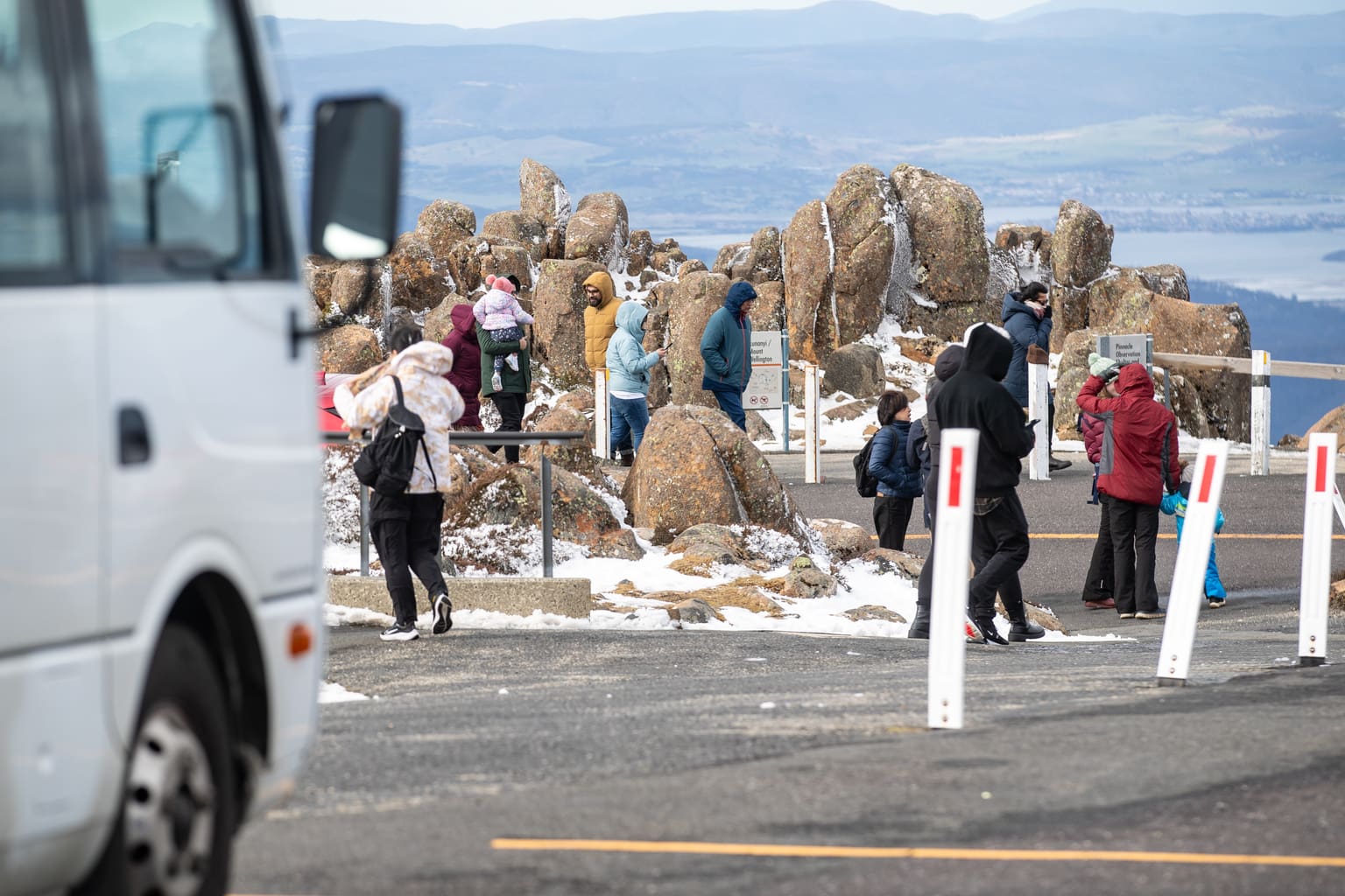
Snow is also possible on Kunanyi/Mount Wellington, where the top temperature is forecast to be four degrees.
Hobart is forecast to reach 15 degrees on Sunday and Launceston 19 degrees.
The cold air will bring frost to much of the state on Monday morning. Ben Lomond is forecast to drop to -5 degrees and Liawenee to -4 degrees.
Today will be cloudy across most of the state, with Hobart tipped to reach 19 degrees and Launceston 25 degrees.
Hobart could see fog in the early afternoon. Bureau forecaster David Crock said it should still be “a mostly dry day” for the capital “at least until the late evening”.
Showers are most likely on the Furneaux Islands and in the north-east and on the east coast today. The west should stay largely dry.