Snow and thunderstorms are on the way for parts of Tasmania as a low pressure system in the Great Australian Bight drives wild weather across the state.
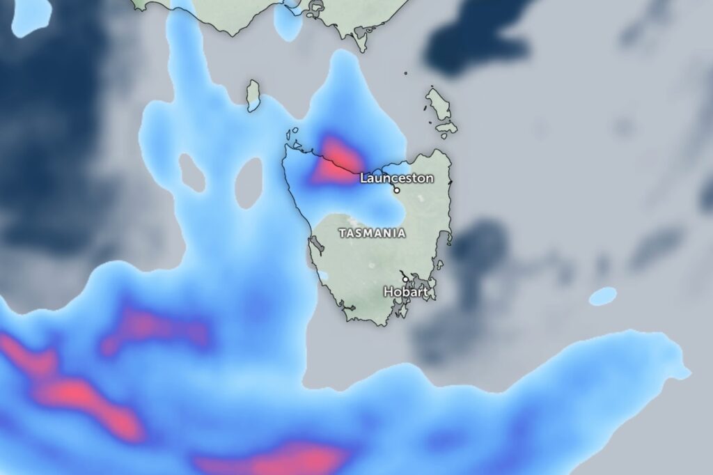
Thunderstorms are possible along coastal parts of the north-west on Thursday as showers become more frequent through the afternoon and evening.
The low will approach from the west on Thursday before slipping south and pushing a cold front across the state on Friday.
A much cooler airstream is expected to follow the front, bringing snow to around 1,000 metres on Saturday morning, mainly about the west and south.
Showers will ease through Saturday evening, with a ridge of high pressure forecast to settle over Tasmania through the weekend.
By Sunday, only light showers are expected along the West Coast, with fine conditions elsewhere.