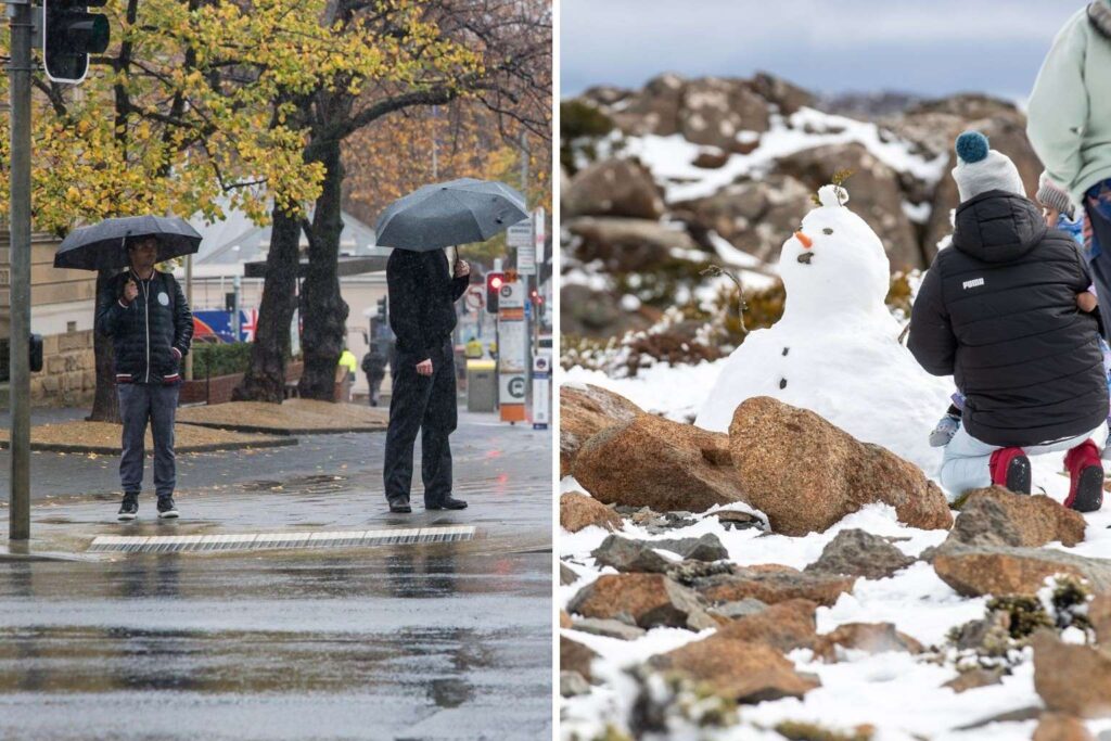
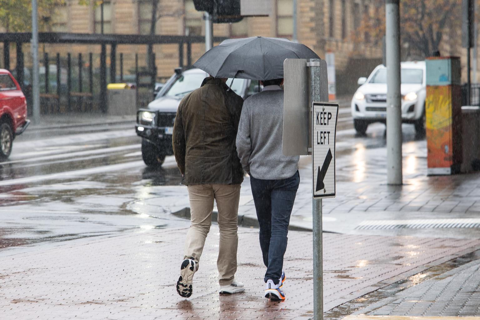
Tasmania is bracing for a week of heavy rain, gusty winds and snow as a series of weather systems move across the state.
The Bureau of Meteorology says the heaviest falls will hit the central north and western areas, with some parts expected to receive up to 100 millimetres by Saturday.
Meteorologist Daniel Sherwin-Simpson said isolated exposed sites such as Mount Read and Cradle Mountain could reach 150 millimetres.
By around 11am Tuesday, Lake Mackenzie on the Central Plateau had already recorded 63.4 millimetres, Iris River 48 millimetres and Devonport 20.2 millimetres.

Tuesday and Thursday are expected to be the wettest days.
A cold front is forecast to move through on Thursday, bringing gusty winds and a chance of thunderstorms across northern and western coastal areas.
“Not expecting any severe storms, just a couple of rumbles that might boost up the totals a little bit,” Sherwin-Simpson told Pulse.
Once the front clears on Friday, colder air will drop snow levels to around 500 metres in the south.
“I think snow on top of Kunanyi/Mount Wellington is certainly on the cards as we move into the weekend,” he said.
Cradle Mountain in the north-west, Ben Nevis in the north-east near Ben Lomond and the Hartz Mountains in the Huon Valley are also likely to see snow, with falls into the double digits in centimetres.
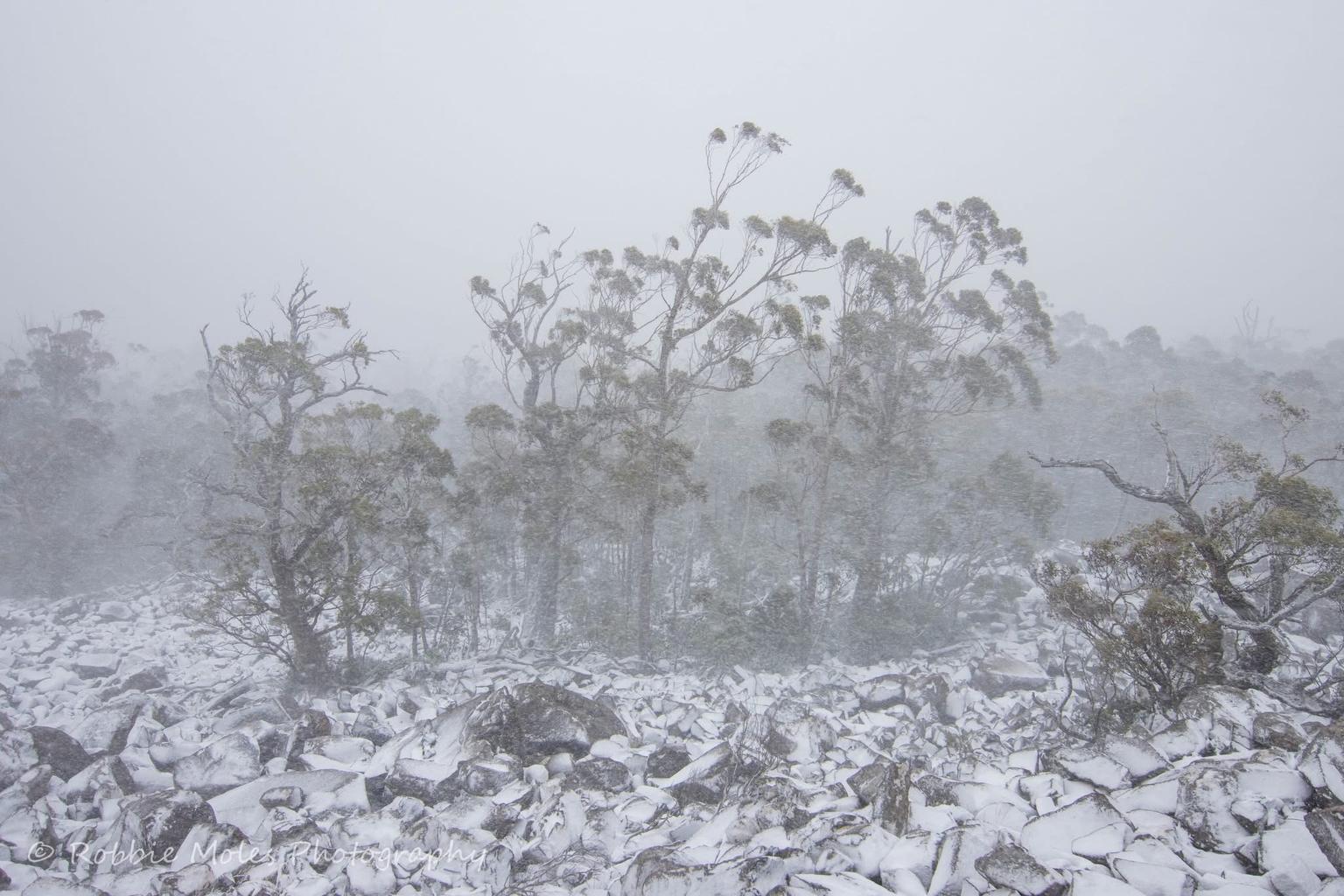
Snow is expected to continue into Saturday, particularly on southern peaks.
In June so far, northern Tasmania has been well above average for rainfall.
Sheffield, which normally receives 115.4 millimetres in June, had already recorded 191.8 millimetres before Tuesday’s rain.
The east coast has largely missed out, with St Helens on just 32.8 millimetres against a June average of 66.7 millimetres.

Hobart is tracking close to its June average, currently at 97% of its usual rainfall, while Strahan is around 80% but is expected to pick up more rain through the week.