


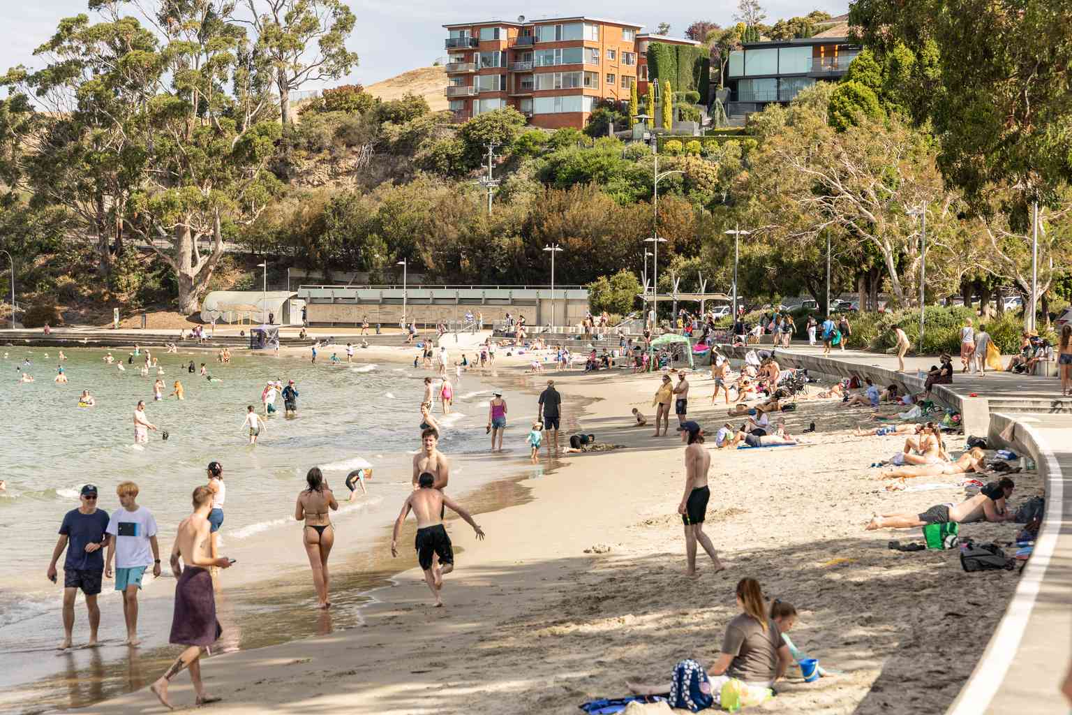
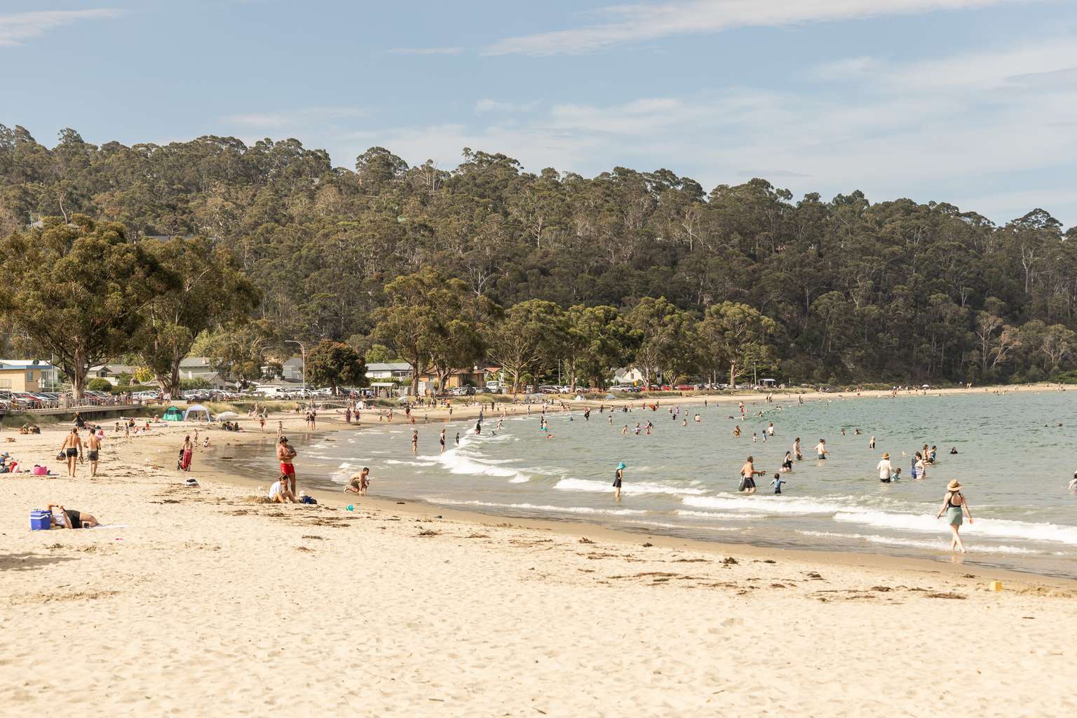
Temperatures soared across southern Tasmania today, with the Upper Derwent Valley recording the state’s hottest reading of 36.5 degrees at Bushy Park.
Ouse wasn’t far behind, reaching 36.4 degrees late in the afternoon and holding at 36.3 degrees into the evening – the hottest location overall by 6:10pm.
The city also felt the heat, with Hobart hitting 34 degrees just before 3pm.
Campania recorded 34.6 degrees, while Grove reached 34.5 degrees.
Bureau of Meteorology meteorologist Matthew Thomas said the scorching conditions had created high fire danger across central and eastern Tasmania.
“We do expect to see temperatures push up into the mid thirties at this time of year,” he said.

“It is quite possible that we could see similar days occurring particularly through early February, that’s the most likely period, but even into early March we can get some spike days.”
A high pressure system over the Tasman Sea brought a northerly flow across the state, pushing temperatures well above average.
A trough and cold front is expected to cross Tasmania this evening, bringing some relief for the south.
Hobart’s temperature is forecast to drop to 21 degrees by 11pm.
But the hot conditions aren’t over yet.
Launceston is expected to climb above 30 degrees on Wednesday, reaching a maximum of 33 degrees.
Hobart will have a cooler Wednesday with a top of 25 degrees, while both cities should see temperatures ease on Thursday.
The Bureau has forecast light showers about the west on Wednesday, with showers developing in the northeast during the evening. Hot conditions will persist about the Central North.

Thursday should bring isolated light showers about the north, with possible morning fog in the west. Friday will see hot conditions return to the Upper Derwent Valley.
A high pressure system south of the Bight will extend a ridge over Tasmania on Wednesday, with the high centre crossing the state on Thursday.
Another trough is expected to approach from the west on Saturday.