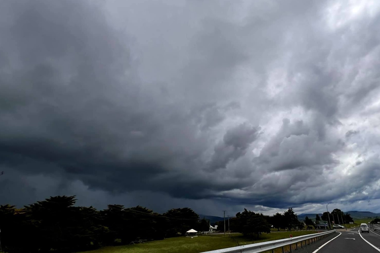
Thunderstorms are possible across Tasmania today as showers move in from the north-west.
The Bureau of Meteorology says most districts could see storms this afternoon and evening.
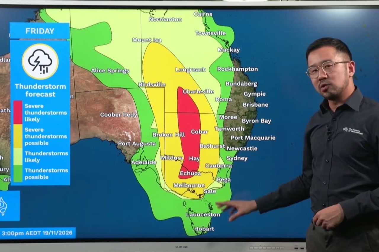
Bureau meteorologist Jonathan How said storms were returning to eastern Australia, with the main focus on Queensland, New South Wales and Victoria.
He said showers and storms would build throughout the day before “really peaking” in the mid to late afternoon across Tasmania.
Hobart is forecast to reach 24 degrees today, with a 70% chance of rain, while Launceston is expected to hit 25 degrees.
A low-pressure system will move to the south-west of Tasmania today, with a trough crossing the state early tomorrow.
The north could see storms early tomorrow morning, followed by the south-east in the early afternoon.
Sunday is shaping up as the wettest day, with showers across the state and up to 25mm of rain in the north and west.
Thunderstorms are also possible in the north on Sunday afternoon and evening.
A strong cold front will then cross Tasmania late Sunday and early Monday.

How said the front would bring “a return to cooler weather as well as showery and windy conditions”.
Snow could fall above 900 metres in the west and south on Monday, while small hail is possible in the west.
Hobart’s top temperature is expected to drop to 20 degrees, with snow also possible on Kunanyi/Mount Wellington.