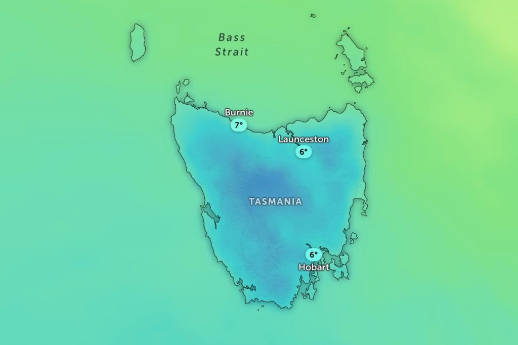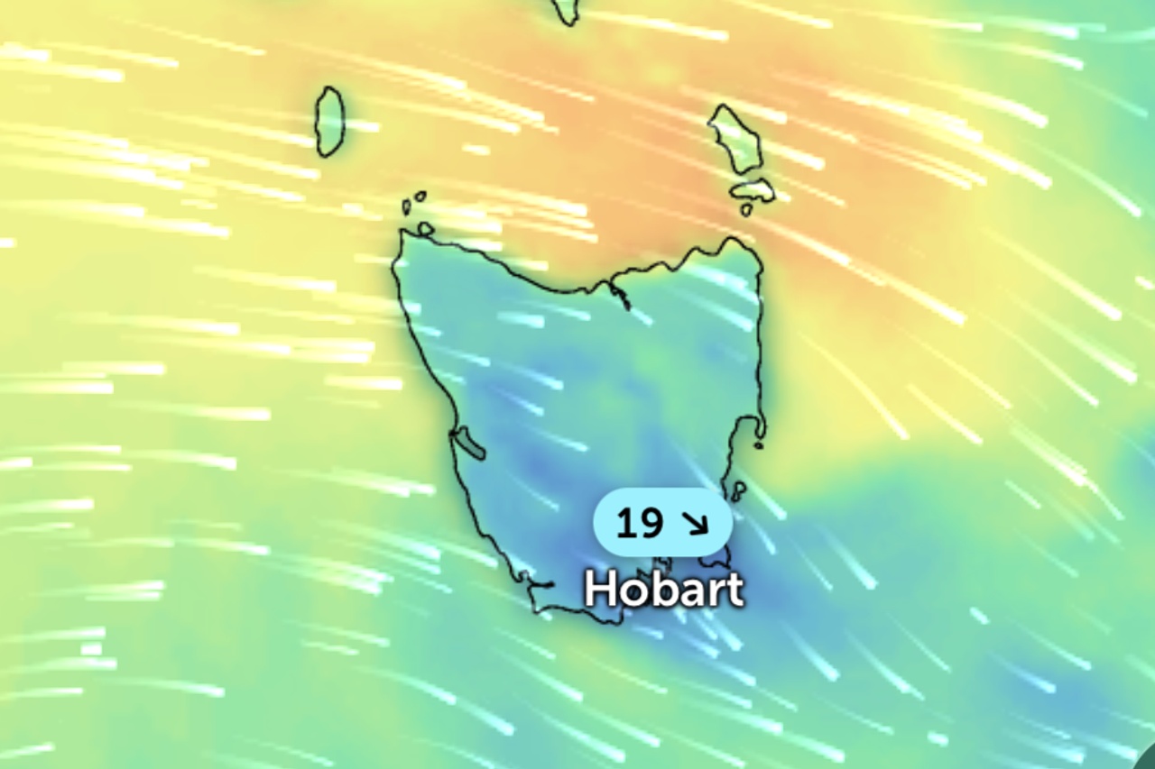
Updated 9:40am Friday, April 10: The Bureau of Meteorology has expanded its severe weather warning for damaging winds across Tasmania, with the rough conditions now set to stretch into Saturday.
The updated warning covers King Island, the Furneaux Islands and parts of the western, south-east, north-east, north-west coast and central north districts.
Damaging winds averaging 55 to 65km/h with peak gusts around 100km/h are hitting King Island and the north-west this morning.
Those conditions will push across the north-east and the Furneaux Islands during the afternoon.
“A trough is expected to cross the state today, bringing damaging west-northwesterly winds about northern Tasmania,” the bureau said.
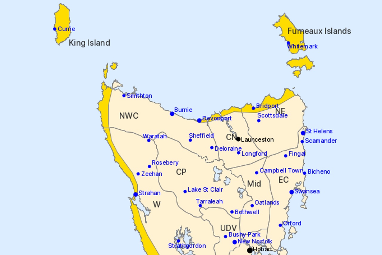
“A second west-southwesterly change is expected on Saturday, broadening the cold, wet and windy conditions.”
Winds will ease overnight but stay gusty, before damaging winds redevelop across the warning area, including western Tasmania, around sunrise on Saturday.
Conditions are expected to ease below warning levels overnight into Sunday morning.
Earlier: Parts of Tasmania are in for a windy Friday, with the Bureau of Meteorology forecasting damaging winds, possible thunderstorms and snow down to 700 metres.
The bureau issued a severe weather warning on Thursday afternoon covering the Furneaux Islands and parts of King Island, the north-east and central north.
“Damaging winds averaging 55 to 65km/h with peak gusts around 100km/h are likely to develop about King Island during Friday morning, extending to parts of north-eastern Tasmania including the Furneaux Islands during the afternoon,” the bureau said.
A cold front will cross Tasmania tonight, followed by a stronger westerly change on Friday.
“A more vigorous westerly change is expected during the day on Friday, bringing damaging winds about northern Tasmania, especially with shower and thunderstorm activity,” the bureau said.
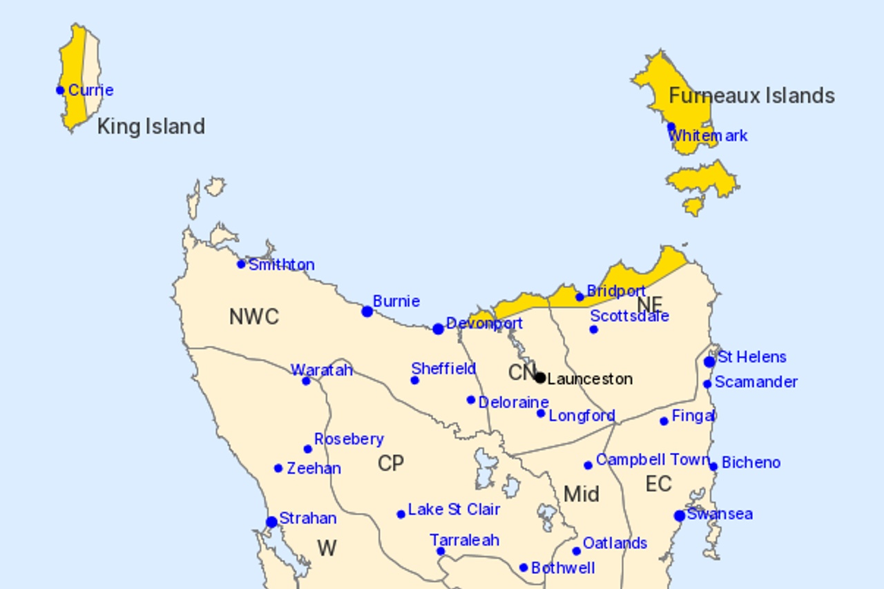
Locations that may be affected include Currie, Whitemark, Bridport, George Town and Low Head.
Winds are expected to ease below warning levels by Friday evening.
A separate alert has been issued for bushwalkers in the west and on the Central Plateau, with snow forecast as low as 700 metres on Friday evening.
Queenstown is tipped for 15 to 60 millimetres of rain on Friday, while Bridport is forecast nine to 40 millimetres with windy conditions continuing into Saturday.
Launceston and Burnie can expect showers and gusty north-westerly winds, while Hobart will sit on the edge of the system with showers, a possible thunderstorm and a top of 15 degrees.