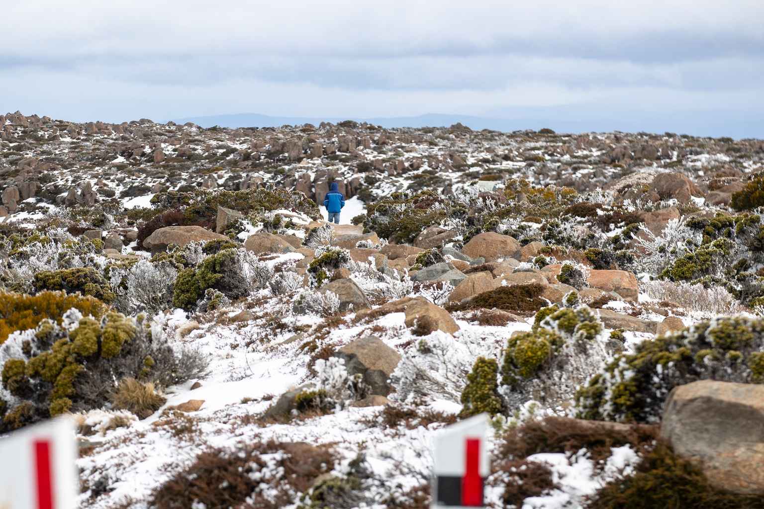
Tasmania is in for a cold, wet start to winter, with snow forecast for the state’s highest peaks on the first day of the season.
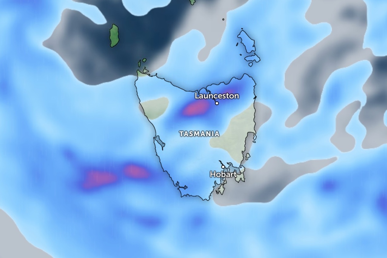
The Bureau of Meteorology says showers will move across the west, far south and Bass Strait islands on Monday, falling as snow above 1,000 metres during the morning.
A low-pressure system moving in from the Great Australian Bight is behind the unsettled conditions, which are expected to stick around for most of the week.
The bureau says a large area of low pressure is expected to move over the Bight and approach Tasmania before settling over the state.
“The low complex then moves over Tasmania and remains in the vicinity throughout Wednesday before moving away to the east on Thursday,” it said.
Showers are forecast statewide from Tuesday through to Thursday, with the conditions typical for early winter in Tasmania.
Bureau records show June in Hobart averages a maximum of about 12 degrees and an overnight minimum near five degrees.
The city usually records about 54 millimetres of rain across roughly 14 rainy days for the month.
Snow on the peaks is also common at this time of year.
Cold air masses regularly reach the island in June and July, bringing snow and frost to the highlands and interior.