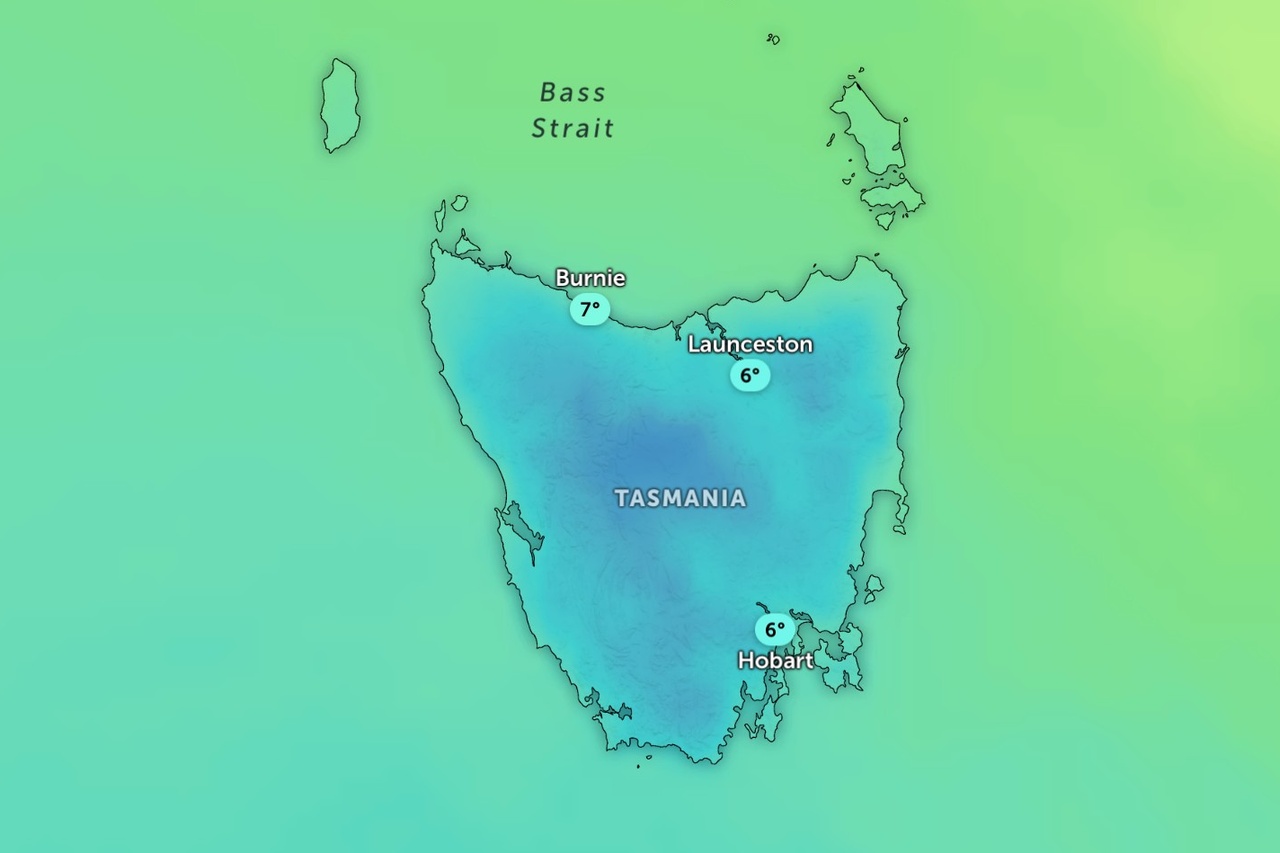
Snow is expected to fall to low levels across parts of Tasmania as a cold front crosses the state tonight.
The Bureau of Meteorology has issued a bushwalkers weather alert for the Western and Central Plateau forecast districts.
It said “snow as low as around 400 metres is expected during late Monday evening and Tuesday”.
The bureau said the hazardous conditions were expected in both districts.
On Tuesday, snow is forecast as low as 300 metres in the Western, Upper Derwent Valley and South East districts.
Damaging winds are possible in the south, along with thunderstorms and small hail.
Snow is expected above 400 metres in the Midlands and is possible above 500 metres on the east coast and above 600 metres in the north.
The front is expected to cross the state early on Tuesday, followed by cold west to south-westerly winds.
Mount Field has a forecast maximum of three degrees on Tuesday, with snow showers and strong winds.
Mount Wellington is forecast to reach three degrees, with snow showers and very strong winds.
Overnight temperatures on the Central Plateau could drop to minus four.
Lake St Clair and New Pelion Hut, on the Overland Track, could receive up to 15 millimetres of rain and snow.
The snow level is expected to rise above 700 metres later on Tuesday, with showers mainly in the west by the evening.
On Wednesday, light showers are forecast for the west and far south, with snow above 800 metres in the morning.
A high pressure system is expected to move over the state on Thursday, with fine weather after frost in inland areas.
Warm, mostly sunny conditions are forecast for the south and east by Sunday, with maximums of 26 degrees for Huonville, Ouse and New Norfolk.